
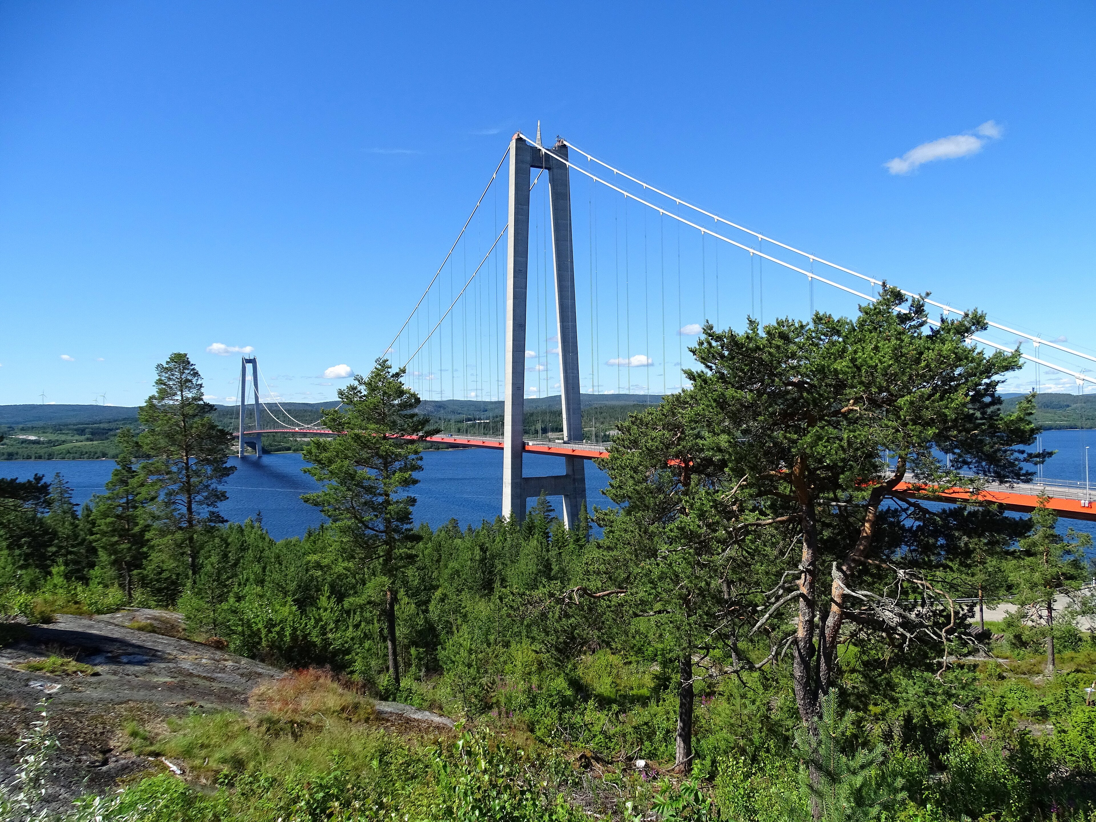
A soaring suspension bridge spanning the Ångermanälven river mouth, this Scandinavian engineering landmark connects two northern Swedish municipalities across waters that separate the High Coast region.
At a glance
The Höga Kusten Bridge (also called Vedabron) carries traffic across the mouth of the Ångermanälven near the village of Veda. Completed in 1997, it ranks among Europe’s longest suspension bridges and remains Scandinavia’s third longest, surpassed only by Denmark’s Great Belt Fixed Link and Norway’s Hardanger Bridge.
History
Construction began in 1993 and concluded four years later. King Carl XVI Gustaf of Sweden officially opened the bridge on 1 December 1997, marking a significant transport connection for the Ångermanland province. The bridge replaced the older Sandö Bridge as the primary crossing, which now serves as an extension of European route E4.
What you see
The bridge stretches 1,867 metres in total length with a main span of 1,210 metres. Twin column pillars rise 196 metres above the water—dramatic vertical elements visible from considerable distances across the landscape. The clearance height of 40 metres accommodates river traffic passing beneath.
Cultural significance
The bridge embodies late-20th-century Swedish engineering achievement and serves as a defining landmark of the High Coast region, which lends the structure its Swedish name. Its prominence in the Scandinavian bridge hierarchy reflects both technical accomplishment and regional transportation importance.
Key facts
- Country: Sweden
- Location: Border of Härnösand and Kramfors municipalities, Ångermanland province
- Completed: 1997
- Total length: 1,867 metres
- Main span: 1,210 metres
- Pillar height: 196 metres
- Ship clearance: 40 metres
- Ranking: Third longest suspension bridge in Scandinavia; fourth in Europe; 21st worldwide (as of 2016)
Practical information & getting there
The bridge connects the municipalities of Härnösand and Kramfors and carries traffic on European route E4. The village of Veda lies approximately 1 kilometre west of the bridge’s southern approach.
Sources & resources
Find it on the map
See this place and what’s around it →📷 Become a Cultural Heritage Online photographer
Share your photos of places: they stay published under your name as the author. The more they're seen, the more you get noticed — and soon a contest will reward the most appreciated photos.
Log in or sign up free to add a photo