

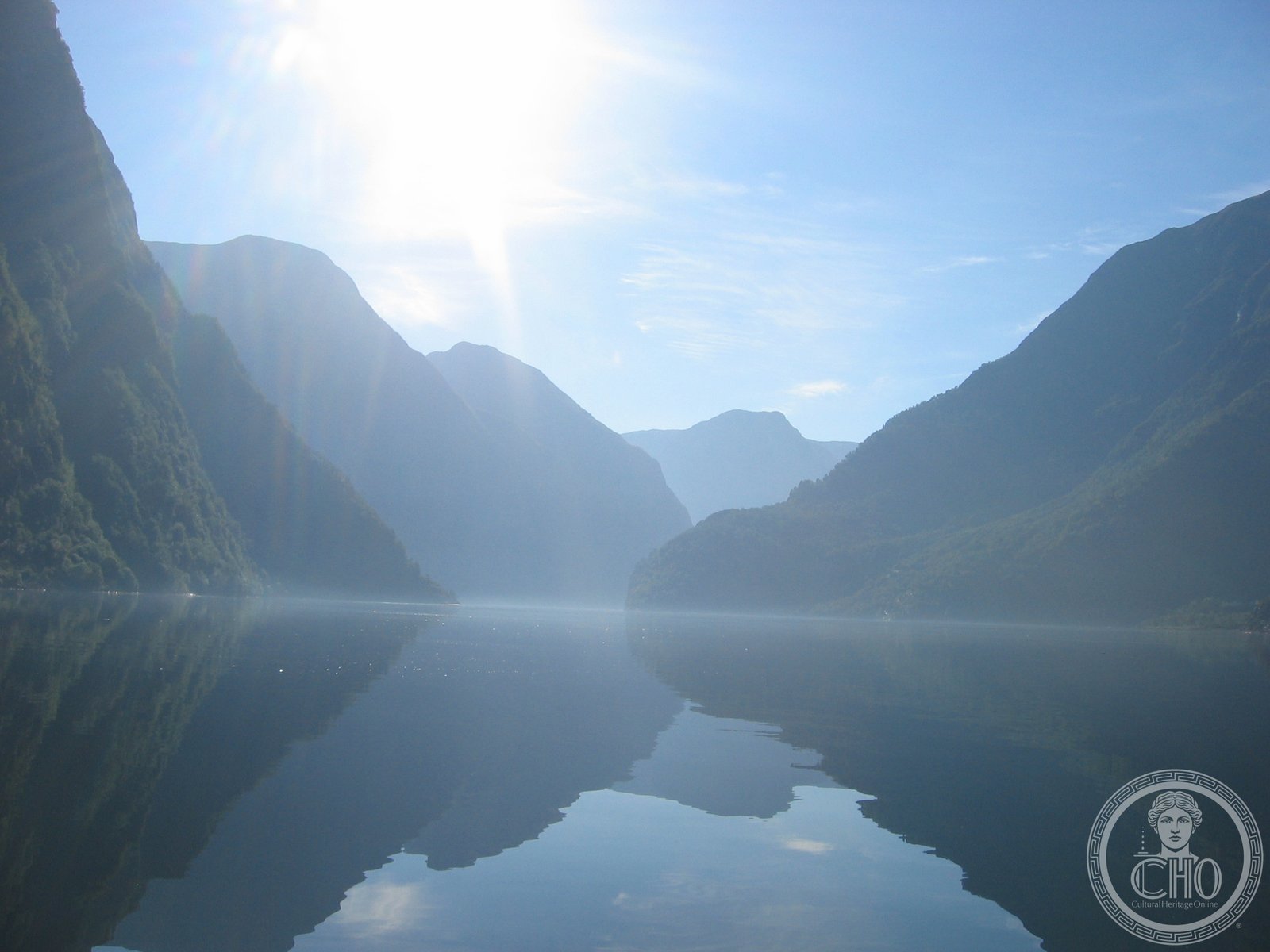
One of Norway’s most dramatic fjords, Nærøyfjord narrows to barely a quarter-kilometre wide between mountains that tower over a kilometre on each side.
At a glance
Nærøyfjord is a branch of the Aurlandsfjord, which flows into the Sognefjord in western Norway. The waterway stretches approximately 17 kilometres through a landscape of near-vertical rock faces and Alpine peaks. At its narrowest point, the fjord measures just 250 metres across—a passage that feels almost claustrophobic when the surrounding mountains rise to 1,761 metres above sea level.
History
The fjord carved by glacial erosion over millennia remains a vital passage through Vestland’s interior. The village of Gudvangen, situated at the inner end where the Nærøydalselvi river enters from Nærøydalen valley, has served as a natural settlement point and gateway to the surrounding valleys.
What you see
Sheer mountain walls dominate the visual experience. South of the village of Bakka, the fjord compresses to less than 500 metres wide, while the mountain summits on opposing sides stand only 3 kilometres apart. The steep terrain permits little flat ground; the landscape is one of near-vertical rock, cascading waterfalls, and sparse vegetation clinging to the mountainsides.
Cultural significance
Nærøyfjord exemplifies the raw geological drama of Norway’s fjord system. Its extreme proportions—narrow passages flanked by towering peaks—create one of Scandinavia’s most visually arresting waterways and have made it a destination for those seeking to experience Nordic mountain scenery in its most concentrated form.
Key facts
- Location: Aurland Municipality, Vestland county, Norway
- Coordinates: 60.94°N, 6.93°E
- Length: Approximately 17 kilometres
- Narrowest width: 250 metres
- Highest surrounding peaks: 1,761 metres above sea level
Practical information & getting there
Nærøyfjord is accessible by boat from Flåm or Gudvangen. Local ferry services connect to the wider Sognefjord region. The surrounding villages of Bakka and Gudvangen offer basic services and accommodation. Motorists can reach the area via standard Norwegian routes; boat travel provides the primary experience of the fjord itself.
Sources & resources
Find it on the map
See this place and what’s around it →📷 Become a Cultural Heritage Online photographer
Share your photos of places: they stay published under your name as the author. The more they're seen, the more you get noticed — and soon a contest will reward the most appreciated photos.
Log in or sign up free to add a photoIs this page about you?
This page is read by travellers and heritage enthusiasts who find it on Google. Tell us how you are connected to this place and we will take it from there.