
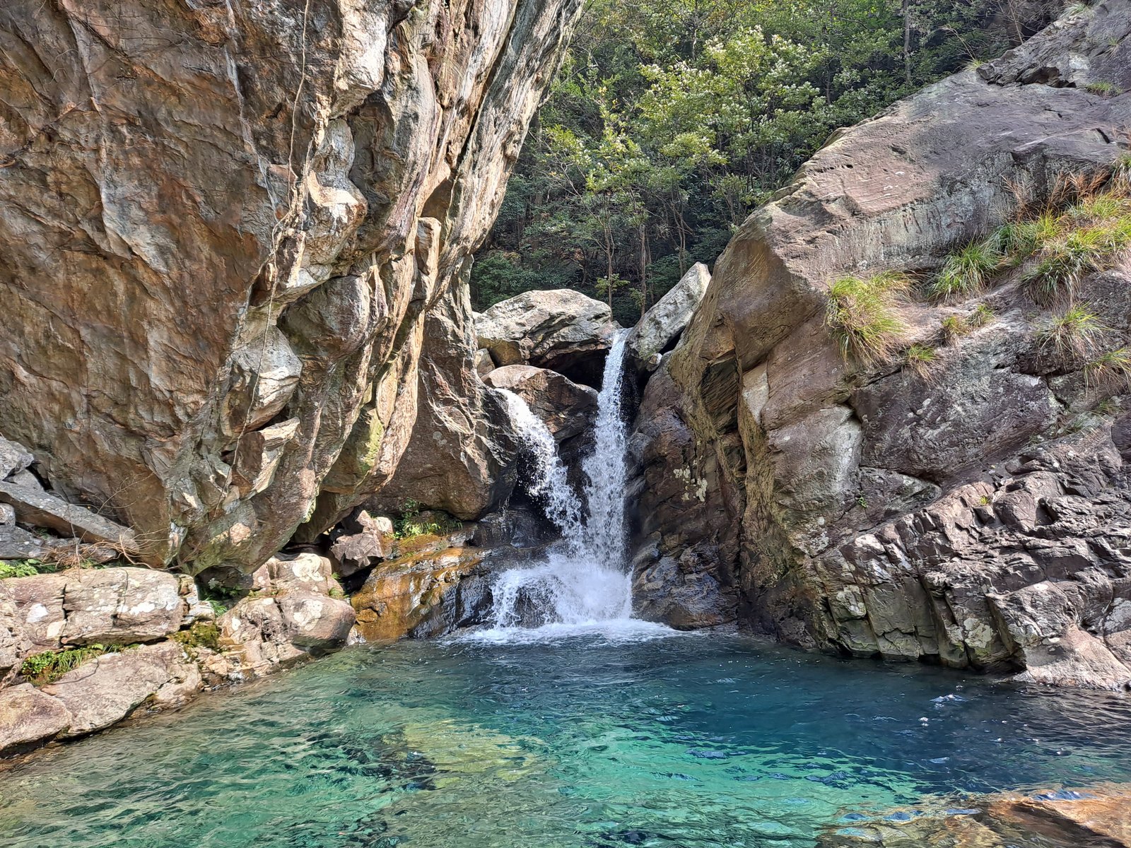
A 500-square-kilometre protected landscape where dramatic mountain geology meets two of China’s greatest waterways, bridging the Yangtze River and Poyang Lake basin.
At a glance
Lushan Geopark preserves a vast region of geological and environmental significance across Jiujiang. The protected area encompasses Mount Lu and its surrounding terrain, creating a natural corridor between two major water systems that have shaped Chinese culture and history for millennia.
History
Mount Lu has long held spiritual and cultural importance in Chinese civilization. The geopark’s designation reflects modern efforts to safeguard landscapes of exceptional geological value alongside their cultural heritage.
What you see
The geopark’s landscape is defined by Mount Lu’s dramatic topography and geological formations. The terrain transitions from mountainous heights to lowland basins, offering varied vistas across 500 square kilometres of natural diversity where river valleys meet elevated plateaus.
Cultural significance
The region’s position between the Yangtze River and Poyang Lake basin makes it geologically and hydrologically critical to central China. Mount Lu itself carries deep cultural resonance in Chinese art, poetry, and spiritual traditions.
Key facts
- Country: China
- Location: Jiujiang, Mount Lu region
- Protected area: 500 square kilometres (190 square miles)
- Coordinates: 29.55°N, 115.99°E
- UNESCO World Heritage status: Yes
Practical information & getting there
Lushan Geopark is accessible from Jiujiang in Jiangxi Province. The site’s vast area means planning is essential; consider hiring local guides familiar with the region’s geological features and hiking routes.
Sources & resources
Find it on the map
See this place and what’s around it →📷 Become a Cultural Heritage Online photographer
Share your photos of places: they stay published under your name as the author. The more they're seen, the more you get noticed — and soon a contest will reward the most appreciated photos.
Log in or sign up free to add a photo