
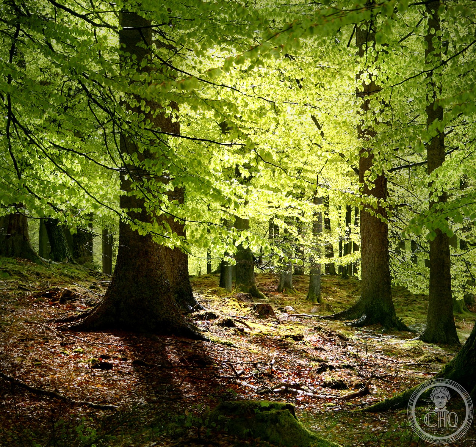
Denmark’s fourth largest forest, a 5,600-hectare woodland landscape shaped by centuries of royal hunting tradition and now protected as part of a UNESCO World Heritage Site.
At a glance
Gribskov stretches across northern Zealand west and south of Lake Esrum, comprising dense woodland interspersed with lakes and small villages. The forest is state-owned and managed as part of Kongernes Nordsjælland National Park, one of Denmark’s most significant protected natural areas.
History
In July 2015, Gribskov was designated as part of the Par force hunting landscape in North Zealand, a UNESCO World Heritage Site recognizing the forest’s historical importance as a royal hunting ground. The landscape reflects centuries of deliberate forest management and the cultural traditions of Danish royalty.
What you see
The forest divides naturally into four sections: the northwest around Maarum village, the northeast along Lake Esrum’s banks, the southwest encircling the small lake of Gribsø, and the southeast containing the village of Nødebo. Ancient woodlands and water features create a layered landscape of ecological and aesthetic interest.
Cultural significance
Gribskov represents a distinctive European forest type shaped by royal hunting practices and landscape design. Its inclusion in the UNESCO World Heritage designation acknowledges the forest as a rare surviving example of the par force hunting tradition—a structured form of royal chase requiring specially managed woodlands and infrastructure.
Key facts
- Country: Denmark
- Location: Northern Zealand, west and south of Lake Esrum
- Area: Approximately 5,600 hectares
- Rank: Denmark’s fourth largest forest
- Administration: State of Denmark
- UNESCO status: Part of the Par force hunting landscape in North Zealand World Heritage Site (2015)
- Coordinates: 55.98°N, 12.30°E
Practical information & getting there
Gribskov lies in northern Zealand near Hillerød town, which provides road access to the forest. The woodland remains open to public recreation and is integrated into Kongernes Nordsjælland National Park. Nearby larger forests including Store Dyrehave and Tokkekøb Hegn extend the walking and cycling opportunities across the region.
Sources & resources
Find it on the map
See this place and what’s around it →📷 Become a Cultural Heritage Online photographer
Share your photos of places: they stay published under your name as the author. The more they're seen, the more you get noticed — and soon a contest will reward the most appreciated photos.
Log in or sign up free to add a photoDo you manage this place?
This page is read by travellers and heritage enthusiasts who find it on Google. Keep it accurate — and make it work for you. Free for non-profit heritage institutions.