

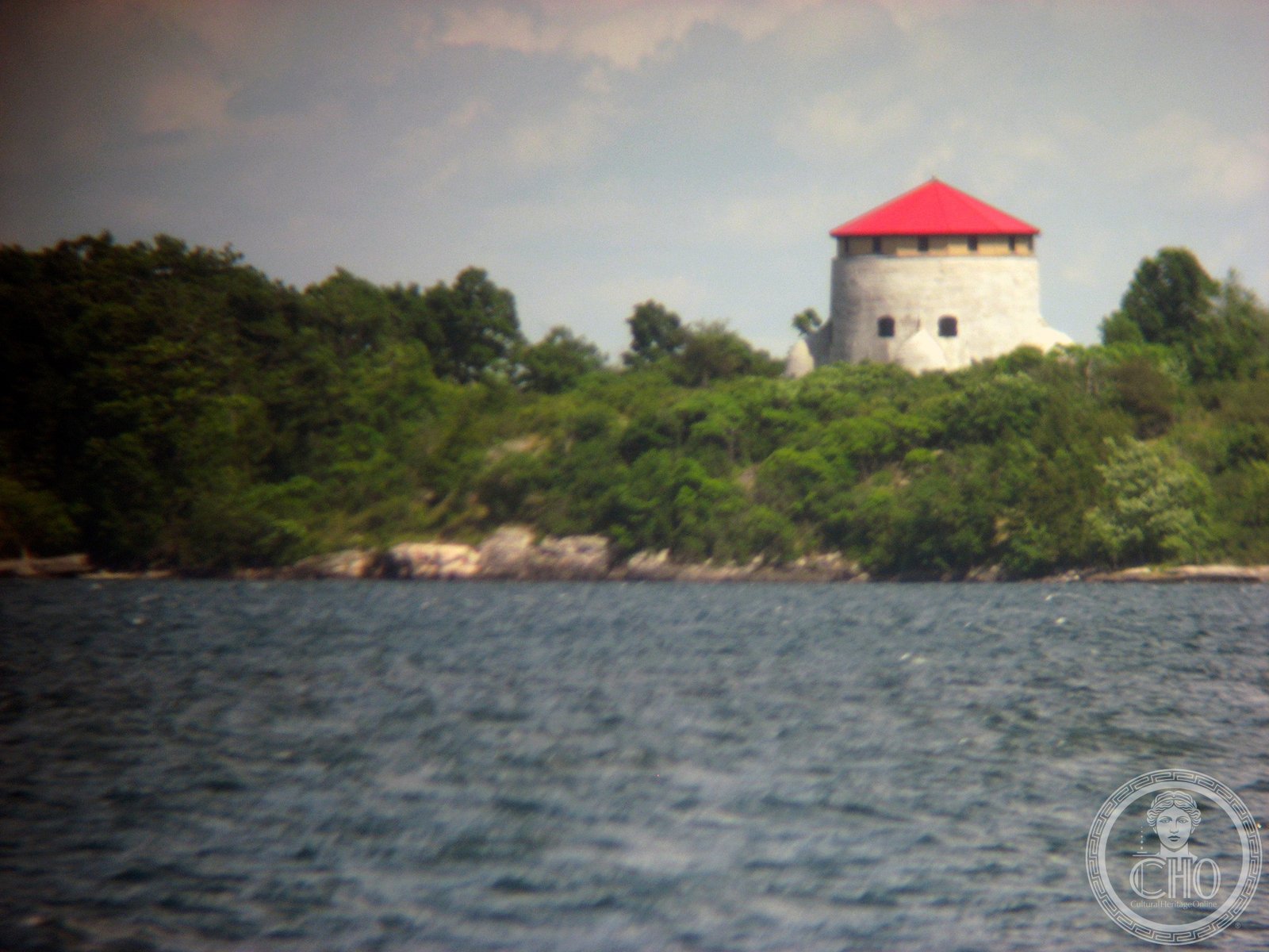
A limestone Martello tower built to guard Kingston Harbour and the Rideau Canal entrance, now a protected UNESCO World Heritage site on Cedar Island in the St. Lawrence River.
At a glance
Cathcart Tower stands 11 metres high with a diameter of 16.5 metres on Cedar Island. One of four defence towers completed in the 1840s, it protected Kingston’s strategic eastern harbour approaches during a period of Anglo-American tension. Today it forms part of a UNESCO-designated fortification complex and lies within Thousand Islands National Park.
History
Built in 1848, Cathcart Tower was constructed during the Oregon crisis—a boundary dispute between Great Britain and the United States that threatened military conflict. The tower was one of four Martello towers erected to fortify Kingston Harbour and secure the entrance to the Rideau Canal. Alexander Mackenzie, who later became Canada’s second prime minister (1873–1878), served as foreman on the tower’s construction. A tragedy marked the project: Mackenzie’s work crew capsized while returning from Cedar Island, drowning 17 men. The incident led to the nearby cove being renamed Deadman’s Bay. After the territorial dispute was resolved, the tower briefly served as a barracks for soldiers garrisoned at Fort Henry before eventually being abandoned.
What you see
The tower’s limestone construction reflects mid-19th-century military engineering. Its cylindrical form, characteristic of Martello design, provided strong defensive positions. A shallow ditch surrounds the structure, with a glacis—a gently sloping defensive earthwork—extending to the shorelines on three sides. The tower’s guns commanded the eastern approaches to Kingston Harbour, making it a key component of the harbour’s defensive network.
Cultural significance
Cathcart Tower embodies Canada’s early military infrastructure and the tensions that shaped its development during the formative colonial period. Its association with Alexander Mackenzie adds historical interest, marking a moment when one of Canada’s future leaders worked on the frontlines of nation-building. The tower stands as a reminder of the strategic importance Kingston held in defending British North America.
Key facts
- Country: Canada
- Location: Cedar Island, St. Lawrence River, Kingston, Ontario
- Coordinates: 44.2254, -76.4540
- Built: 1848
- Construction material: Limestone
- Height: 11 metres; diameter: 16.5 metres
- UNESCO World Heritage Site: Rideau Canal and Kingston Fortifications
- National Historic Site: Rideau Canal and Kingston Fortifications
- Protected area: Thousand Islands National Park
Practical information & getting there
Cathcart Tower is accessible only by private water craft. Docks are located on the north and east sides of Cedar Island. The tower forms part of the Rideau Canal and Kingston Fortifications National Historic Site, managed alongside three companion towers: Fort Frederick, Shoal Tower, and Murney Tower. All four remain integral to understanding Kingston’s 19th-century defence system.
Sources & resources
Find it on the map
See this place and what’s around it →📷 Become a Cultural Heritage Online photographer
Share your photos of places: they stay published under your name as the author. The more they're seen, the more you get noticed — and soon a contest will reward the most appreciated photos.
Log in or sign up free to add a photoIs this page about you?
This page is read by travellers and heritage enthusiasts who find it on Google. Tell us how you are connected to this place and we will take it from there.