

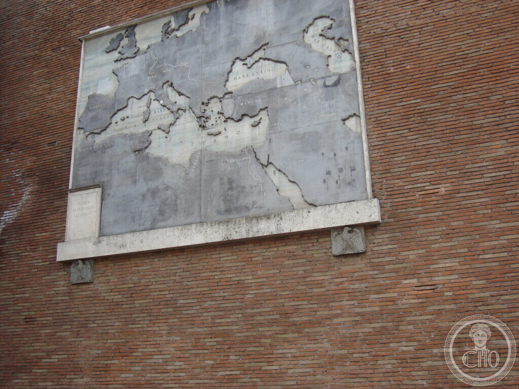
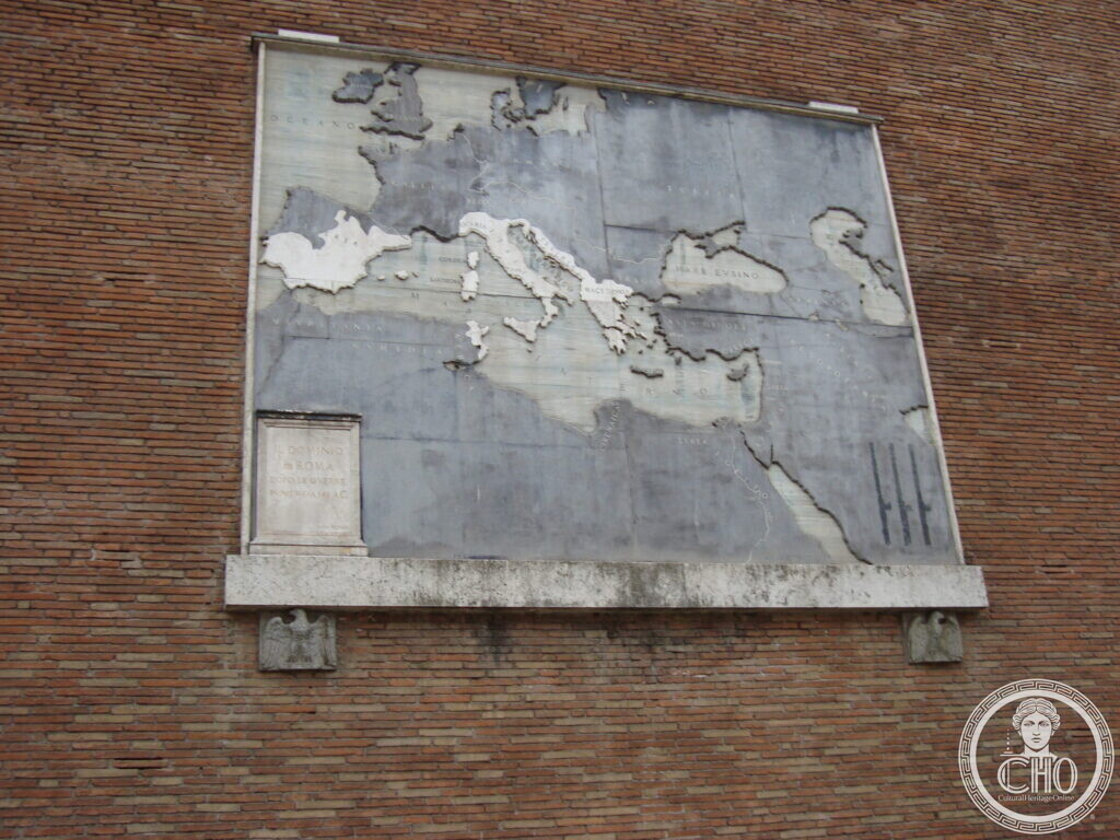
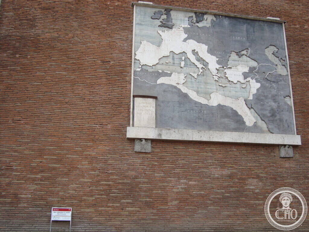
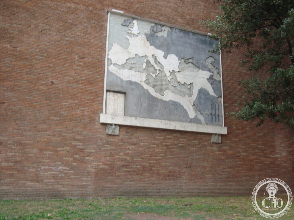
Four polychrome marble maps are set into the brick perimeter wall of the Basilica of Maxentius along Via dei Fori Imperiali in Rome. They show the expansion of the Roman Empire and were inaugurated in 1934.
At a glance
The maps stand on the outer wall of the Basilica of Maxentius, facing Via dei Fori Imperiali, in the Rione Campitelli. The panels are made of polychrome marble and represent the expansion of the Roman Empire under the emperors.
Key facts
- Where: Via dei Fori Imperiali, Roma
- What: Monument
- When: 21 April 1934
- GPS: 41.8920, 12.4882 · Open in Google Maps
History
Via dell’Impero, now the first stretch of Via dei Fori Imperiali, was built between 1924 and 1932. The road opened as a straight avenue 900 metres long and 30 metres wide, running from Piazza Venezia to the Colosseum. Antonio Muñoz, the director of the X Ripartizione ‘Antichità e Belle Arti’, was responsible for the marble panels showing the growth of the Roman Empire. Mussolini inaugurated the maps on 21 April 1934. After 1945 the street was divided into sections and renamed, with the first part becoming Via dei Fori Imperiali.
What you see
The photographs show four marble panels fixed to the vast brick wall of the basilica. The inscriptions read MAR E EVSINO, MARE ADRIATICO, MARE TIRRENO, MARE MEDITERRANEO, IL POPOLO ROMANO AI CADUTI PER LA PATRIA, LIMITE DEI MARE TIRRENO and OCEANO. One panel shows Italy highlighted in white marble, with a small inscribed plaque at lower left. In one view a small modern sign sits at ground level below the map, and in another tree branches frame the wall on the right.
Do you know more about this place?
If you know a date, a name, a document, a plaque or a photograph that tells its story, write to Sofia through the contact page. What arrives with a source goes into this page, with your name as the contributor.
Nearby
- The polychrome marble maps on the Basilica of Maxentius — a related card about the same wall panels
- The Marble Maps of Rome on the Basilica of Maxentius — another card on the same subject
- Temple of Venus – Virtual Tour 360° — close by, on the edge of the Roman Forum
Gallery
Sources
- Visc.eglia.it, Continua il percorso tra i luoghi cartografici: le tavole policrome di Via dei Fori imperiali: dates of the road’s construction, the inauguration, the architect Antonio Muñoz, and the panels’ purpose
- Turismo Roma, Basilica di Massenzio: identification of the Basilica of Maxentius and its location on Via dei Fori Imperiali
- Romano Impero, Basilica di Massenzio: description of the basilica and its perimeter wall
- Stefano Vigolo, photographs and notes to the editorial staff (2026): identification of the subject and the exact location. Not a published source
Find it on the map
See this place and what’s around it →📷 Become a Cultural Heritage Online photographer
Share your photos of places: they stay published under your name as the author. The more they're seen, the more you get noticed — and soon a contest will reward the most appreciated photos.
Log in or sign up free to add a photoIs this page about you?
This page is read by travellers and heritage enthusiasts who find it on Google. Tell us how you are connected to this place and we will take it from there.
This entry stays online and free either way — and a free account lets you add to it yourself.