

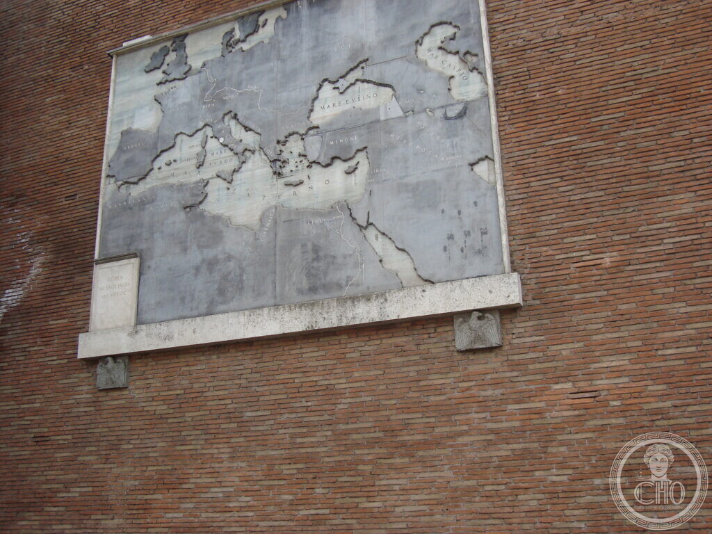
Four marble geographical panels mounted on the perimeter wall of the Basilica of Maxentius in Rome, showing the expansion of the Roman Empire. They were placed along Via dei Fori Imperiali and inaugurated by Mussolini in 1934.
At a glance
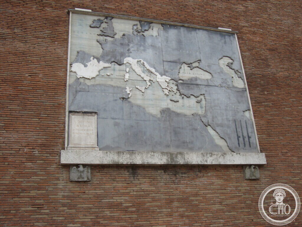
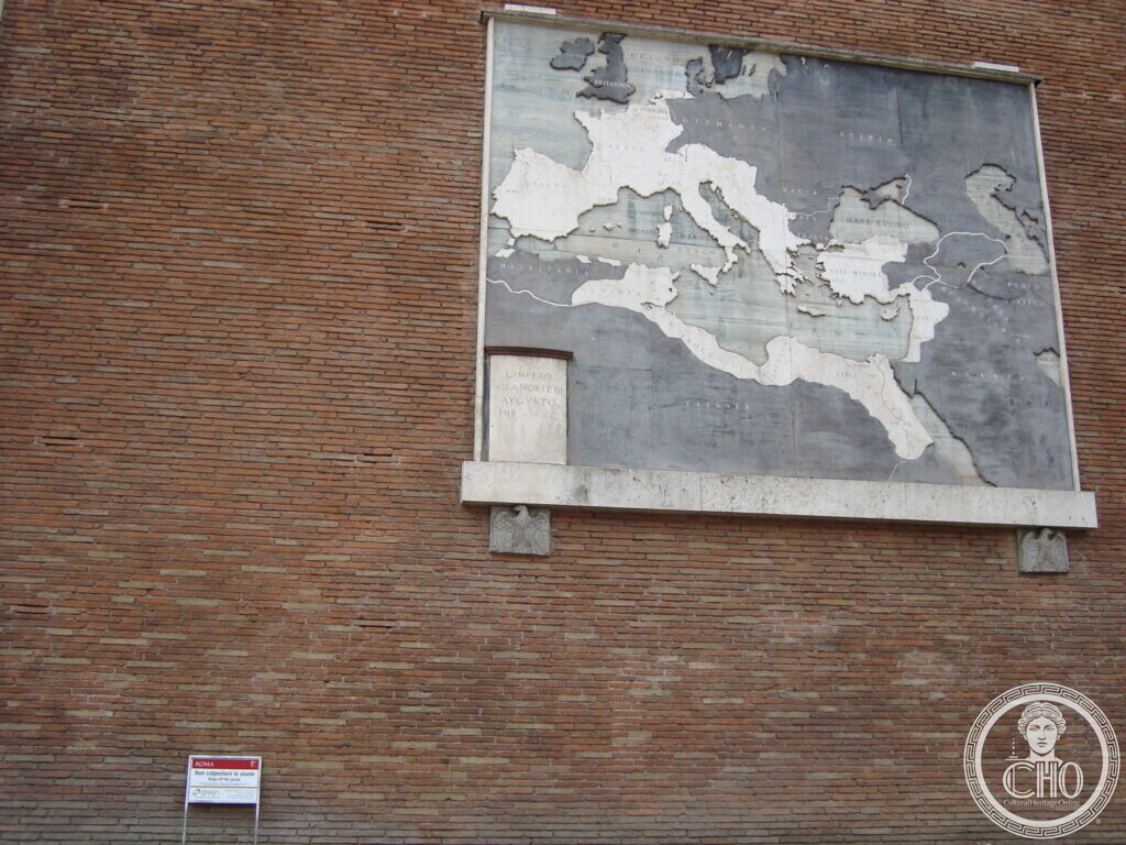
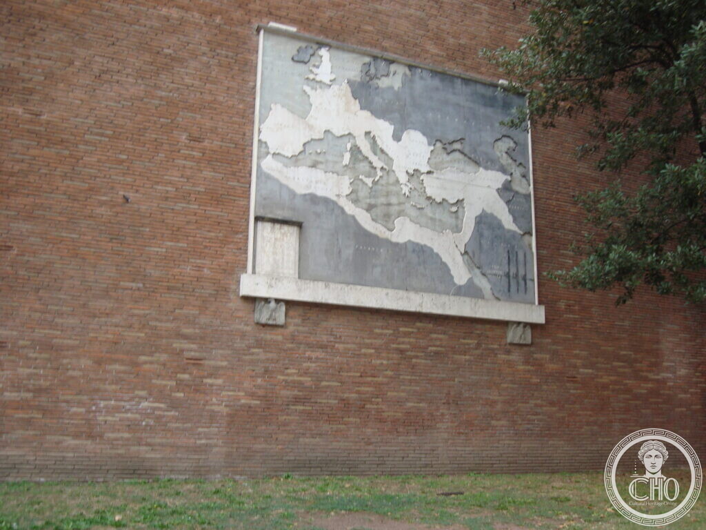
The maps stand on the brick perimeter wall of the Basilica of Maxentius, facing Via dei Fori Imperiali in the Monti and Campitelli districts of Rome. They are made of polychrome marble and illustrate the expansion of the Roman Empire, with inscriptions naming seas and imperial boundaries.
Key facts
- Where: Via dei Fori Imperiali, Rome
- What: Monument
- When: 1934
- GPS: 41.8920, 12.4882 · Open in Google Maps
History
Via dei Fori Imperiali was created through the demolition of a Renaissance quarter between 1924 and 1932, under the Fascist regime. The street was intended as a wide avenue for military parades and was originally called Via dell’Impero. Antonio Muñoz, the architect who served as director of the X Ripartizione ‘Antichità e Belle Arti’, designed the marble panels with geographical maps showing the expansion of the Roman Empire. The maps were placed on the perimeter wall of the Basilica of Maxentius. On 21 April 1934, Mussolini inaugurated the geographical tables on Roman expansion and Via dell’Impero. The maps are located along the stretch of Via dei Fori Imperiali that runs from Piazza Venezia to Piazza del Colosseo.
What you see
The photographs show a polychrome marble map mounted high on the brick facade of the Basilica of Maxentius. The map depicts the Mediterranean world in relief, with the Italian peninsula visible in white. The inscription panel at lower left includes the words “LIMITibus IMPERII ROMANI” and the sea names “MARE EVSINO”, “MARE ADRIATICO”, “MARE TIRRENO”, and “MARE MEDITERRANEO”. A small red and white sign is visible near the ground in one view, and tree branches frame the right edge of another.
Do you know more about this place?
If you know a date, a name, a document, a plaque or a photograph that tells its story, write to Sofia through the contact page. What arrives with a source goes into this page, with your name as the contributor.
Nearby
- The Marble Maps of Rome on the Basilica of Maxentius — companion card on the same monument
- Temple of Venus – Virtual Tour — the restored temple that stood beside the basilica
- Torre dei Conti — the stump of the tower Petrarch called unique in the world — medieval tower along the same axis
- Palatine Site – Mountain – Virtual Tour — across Via dei Fori Imperiali from the basilica
Gallery
Sources
- Visceglia, Continua il percorso tra i luoghi cartografici: le tavole policrome di Via dei Fori imperiali: polychrome marble maps on the perimeter wall of the Basilica of Maxentius; inauguration 21 April 1934; Antonio Muñoz as designer; Via dell’Impero created 1924–1932
- Romano Impero, Basilica di Massenzio: location of the Basilica on the Velia, which linked the Palatine with the Esquiline
- Stefano Vigolo, photographs and notes to the editorial staff (2026): identification of the subject and GPS coordinates. Not a published source
Find it on the map
See this place and what’s around it →📷 Become a Cultural Heritage Online photographer
Share your photos of places: they stay published under your name as the author. The more they're seen, the more you get noticed — and soon a contest will reward the most appreciated photos.
Log in or sign up free to add a photoIs this page about you?
This page is read by travellers and heritage enthusiasts who find it on Google. Tell us how you are connected to this place and we will take it from there.