
An archaeological site that rewrote the history of irrigation technology in Arabia, revealing that the falaj water systems long attributed to Persian invention originated here, centuries earlier.
At a glance
Bidaa Bint Saud is a significant Iron Age settlement in the Eastern Region of Abu Dhabi, notable for its underground and surface waterway systems, known as aflaj. The site demonstrates that this distinctive irrigation technology was developed in south-eastern Arabia, not imported from Persia as scholars had previously believed. A UNESCO World Heritage Site, it lies 15 kilometres north of Al Ain and was likely a caravan stop on ancient trade routes connecting the Al Ain settlements to the Northern Emirates.
History
The site’s pottery and waterway engineering reveal occupation during the Iron Age. Pottery sherds recovered from the aflaj establish that falaj systems were functioning here centuries before the Achaemenid Empire, fundamentally altering archaeological understanding of Arabian technological innovation. The rocky outcrop of Garn bin Saud, rising 40 metres above the site, contains additional burial remains and suggests sustained human activity across the Hafit Period.
What you see
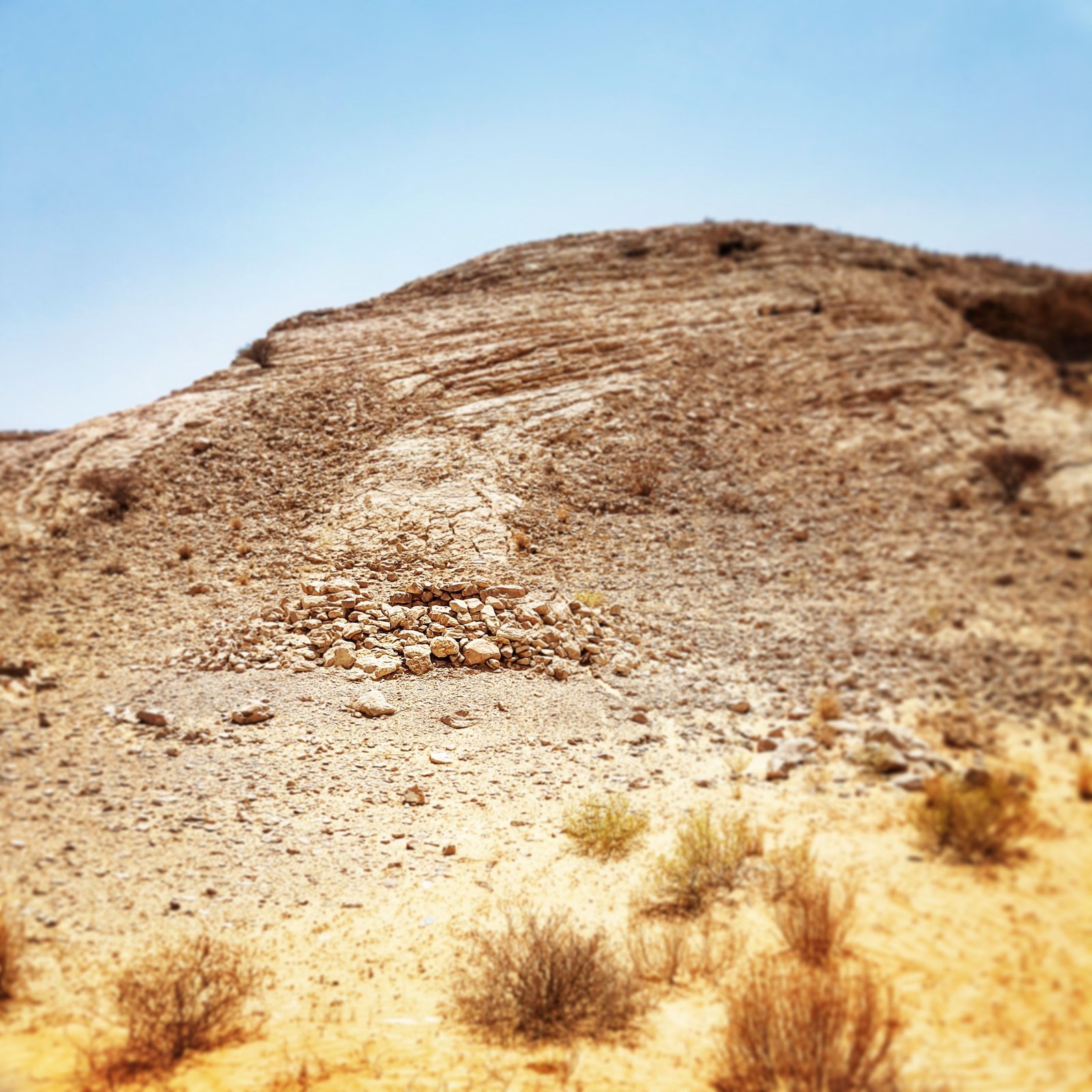
The remains include Hafit Period tombs and the foundations of an Iron Age building interpreted as a distribution centre for water from the aflaj systems. These waterways combined underground channels and surface channels in an integrated network. The prominent rocky formation of Garn bin Saud dominates the landscape, dotted with burial structures that testify to the site’s long occupation.
Cultural significance
Bidaa Bint Saud fundamentally challenged the assumption that falaj irrigation was a Persian innovation. Archaeological evidence from pottery dating places these systems in the historical region of Tawam—which includes Bidaa Bint Saud, Al Ain and Buraimi—centuries before Persian influence arrived. The site stands as a testament to Arabian ingenuity in desert water management and its centrality to trade networks connecting the Gulf coast.
Key facts
- Location: Eastern Region, Abu Dhabi Emirate, 15 km north of Al Ain
- Coordinates: 24.38527778°N, 55.71833333°E
- Period: Iron Age and Hafit Period
- UNESCO World Heritage Site: Yes
- Museum: Artefacts displayed at Al Ain National Museum
Practical information & getting there
The site is located in the Eastern Region of Abu Dhabi, approximately 15 kilometres north of Al Ain. Artefacts and finds from excavations are exhibited at the Al Ain National Museum, which provides accessible context for the site’s historical importance. For visiting information and access conditions, you should contact the Al Ain Municipality or local heritage authorities.
Sources & resources
Find it on the map
See this place and what’s around it →📷 Become a Cultural Heritage Online photographer
Share your photos of places: they stay published under your name as the author. The more they're seen, the more you get noticed — and soon a contest will reward the most appreciated photos.
Log in or sign up free to add a photoIs this page about you?
This page is read by travellers and heritage enthusiasts who find it on Google. Tell us how you are connected to this place and we will take it from there.