
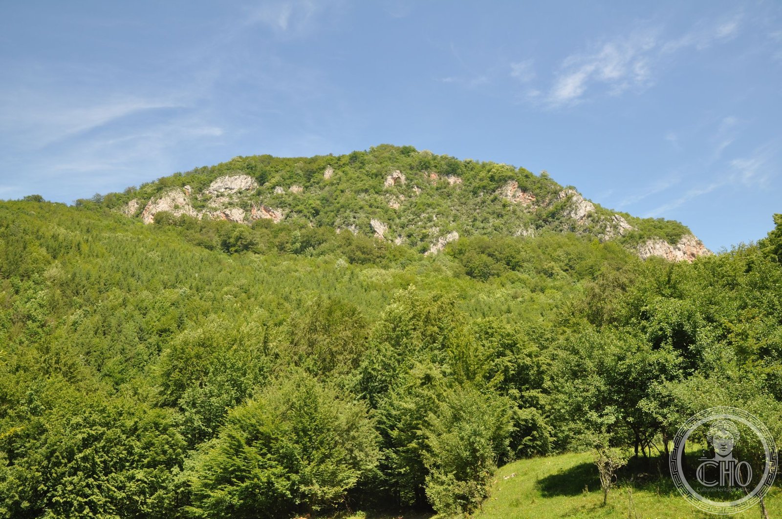
A Dacian hill fort strategically positioned in the Carpathian foothills, Piatra Roșie exemplifies the architectural ingenuity of ancient mountain fortifications. Built in successive phases with a distinctive rectangular citadel and watchtower network, it served as a critical defensive outpost in the Dacian kingdom.
At a glance
Piatra Roșie, meaning “Red Rock,” was a fortified settlement built atop a reshaped hilltop. Located at Luncani in Boșorod commune, it lay two days’ march west of the fortress at Costești-Cetățuie, positioning it within a network of Dacian defensive sites.
History
The fortress was constructed in two distinct phases. First, a long rectangular citadel measuring 102 meters was erected at the hilltop’s height, equipped with watchtowers at each end and two additional outlying towers. In a second phase, a larger perimeter was enclosed with protective walls, suggesting expansion of the defended area as needs evolved.
What you see
The site reveals practical Dacian engineering adapted to mountain terrain. The 102-meter rectangular main citadel forms the core, with watchtowers positioned at opposing ends for maximum visibility. Two outlying towers extended defensive coverage. The hilltop itself was deliberately flattened, creating usable level ground—a labor-intensive alteration that demonstrates the site’s strategic importance and the builders’ commitment to functional design over natural topography.
Cultural significance
Piatra Roșie represents the sophisticated defensive architecture of the ancient Dacian kingdom, a civilization that controlled the region before Roman conquest. Fortifications like this anchored Dacian territorial control and demonstrate their understanding of hill-fort design principles that influenced Central European military strategy for centuries.
Key facts
- Country: Romania
- Region: Hunedoara County
- Location: Luncani, Boșorod commune
- Coordinates: 45.602264, 23.147403
- Main citadel length: 102 meters
Practical information & getting there
The site is located in Hunedoara County in southwestern Romania. Further details on access and current conditions are available through local tourism resources and archaeological authorities in the region.
Sources & resources
- Piatra Roșie Dacian fortress on Wikipedia
- Cultural Heritage Online
Find it on the map
See this place and what’s around it →📷 Become a Cultural Heritage Online photographer
Share your photos of places: they stay published under your name as the author. The more they're seen, the more you get noticed — and soon a contest will reward the most appreciated photos.
Log in or sign up free to add a photoIs this page about you?
This page is read by travellers and heritage enthusiasts who find it on Google. Tell us how you are connected to this place and we will take it from there.