
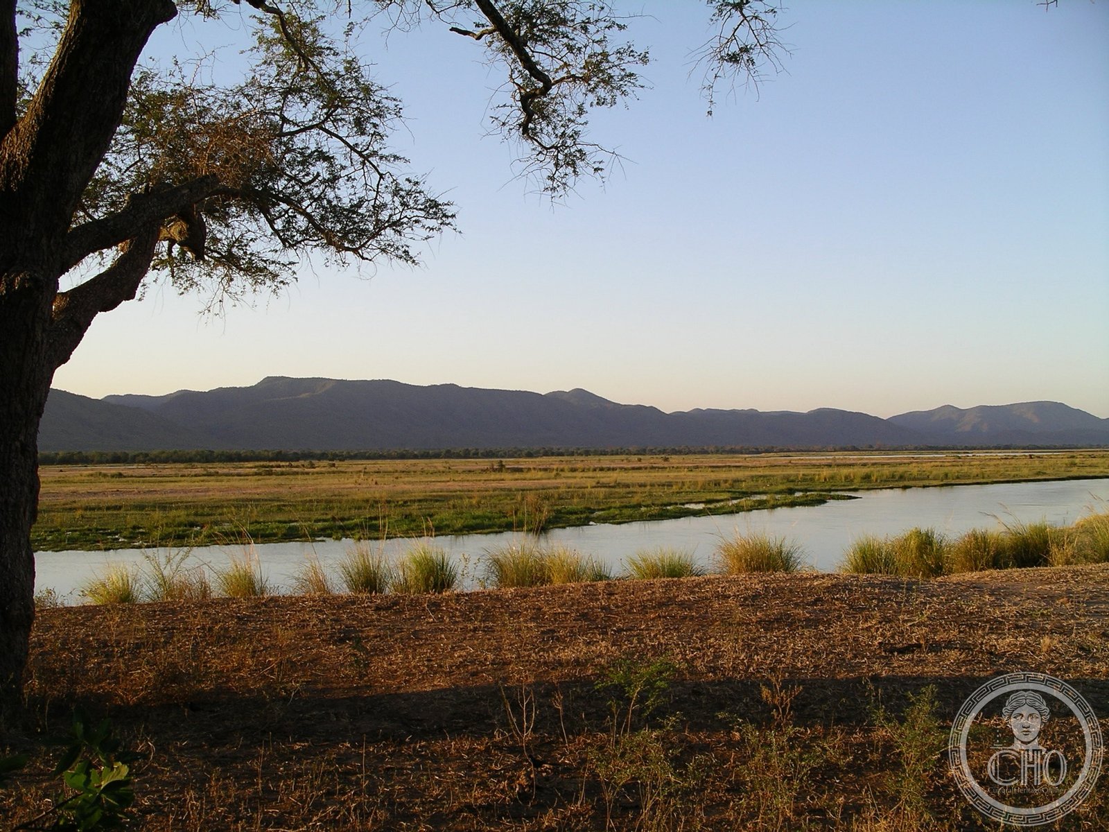
A vast wilderness sanctuary where the Zambezi floodplain transforms into a network of seasonal lakes, drawing Africa’s largest concentrations of wildlife in search of water.
At a glance
Mana Pools National Park encompasses 2,196 square kilometres of pristine habitat along the lower Zambezi River in northern Zimbabwe. The landscape shifts dramatically with the seasons: each rainy season brings expansive floodplain lakes that gradually recede, concentrating elephants, buffalo, and other megafauna into one of Africa’s premier game-viewing destinations.
History
The park and its adjoining safari areas—Sapi (1,180 km²) and Chewore (3,390 km²)—were inscribed together as a UNESCO World Heritage Site in 1984, recognizing their combined ecological value across 6,766 square kilometres. Mana Pools received additional protection when designated as a Ramsar wetland of international importance on 3 January 2013, cementing its status as a conservation priority.
What you see
The landscape is defined by water and wildlife. During the dry season, shrinking lakes become focal points where animals congregate—a natural theatre for observing African megafauna at close range. The Zambezi’s floodplain supports dense stands of acacia and other vegetation adapted to seasonal inundation, creating a mosaic of woodland, grassland, and open water.
Cultural significance
Mana Pools represents one of the world’s wildest and best-preserved natural ecological areas. Its reputation rests on pure wilderness: over 350 bird species, a full complement of African mammals, and aquatic ecosystems that function with minimal human interference. The park exemplifies large-scale wildlife conservation and the ecological interdependence between water, vegetation, and animal populations.
Key facts
- Area: 2,196 square kilometres (848 sq mi)
- Location: Northern Zimbabwe, lower Zambezi region
- Coordinates: −15.75°, 29.33°
- UNESCO World Heritage Site: 1984 (with Sapi and Chewore Safari Areas)
- Ramsar Wetland designation: 3 January 2013
- Wildlife: Over 350 bird species and diverse mammal populations
Practical information & getting there
Access to Mana Pools requires careful planning; the park is remote and seasonal road conditions vary significantly. Consult local tourism authorities and conservation offices for current conditions, permits, and guided-visit options before travel.
Sources & resources
- Mana Pools National Park – Wikipedia
- Cultural Heritage Online
Find it on the map
See this place and what’s around it →📷 Become a Cultural Heritage Online photographer
Share your photos of places: they stay published under your name as the author. The more they're seen, the more you get noticed — and soon a contest will reward the most appreciated photos.
Log in or sign up free to add a photo