
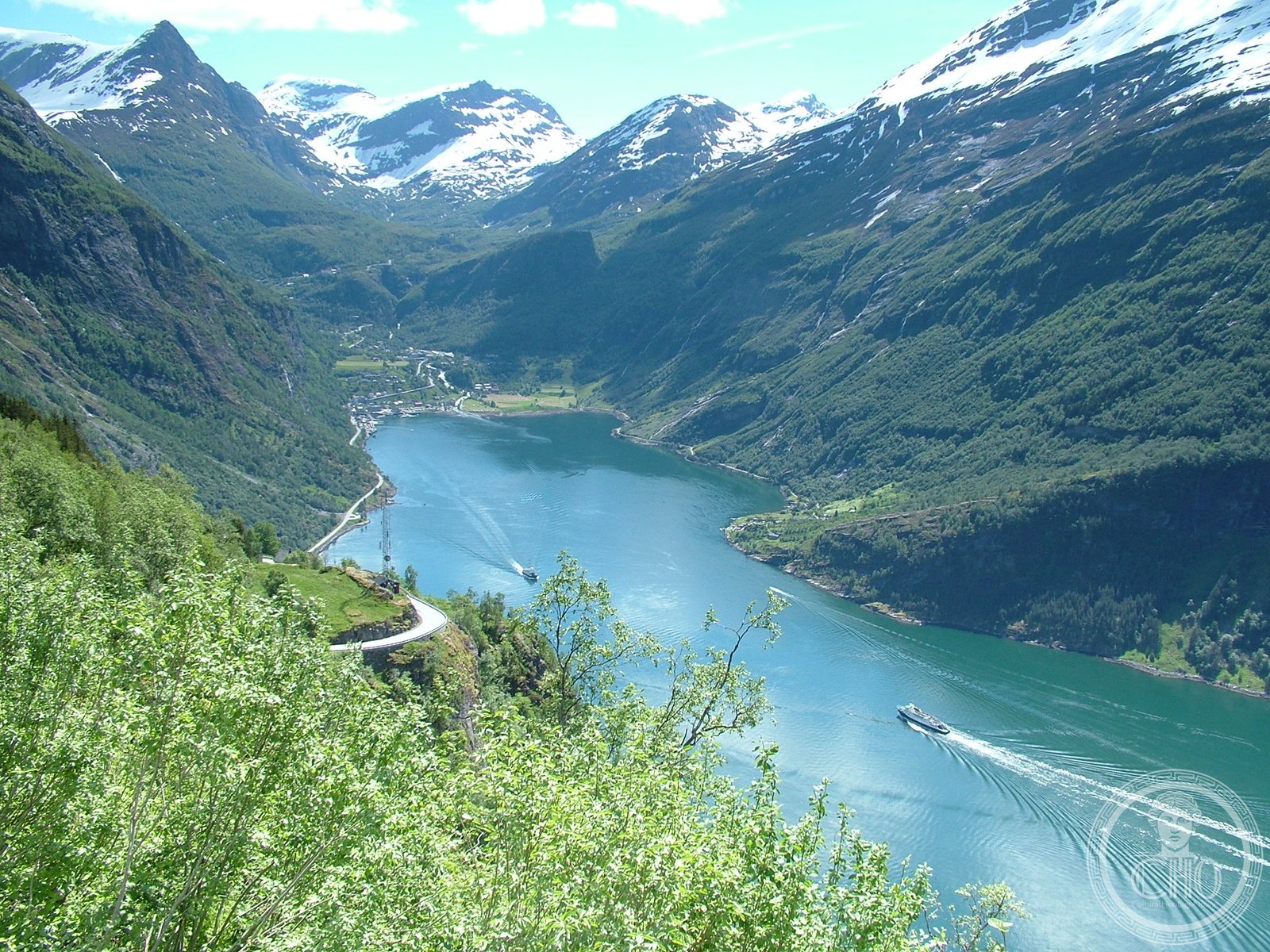
Two of Scandinavia’s most dramatic fjords—Geirangerfjord and Nærøyfjord—form a UNESCO World Heritage Site showcasing the raw power of glacial landscape.
At a glance
The West Norwegian Fjords comprise two distinct waterways carved by ancient glaciers into Norway’s coastal mountains. Both the Geirangerfjord and the Nærøyfjord demonstrate the geological processes that shaped this region over millennia. Together they represent one of the world’s most visually striking fjord systems.
History
These fjords were formed during successive ice ages as glaciers advanced and retreated, carving deep valleys that were later flooded by rising sea levels. The dramatic topography has made these waters central to Norwegian identity and settlement for centuries. Their recognition as a World Heritage Site reflects their global significance.
What you see
Sheer rock walls rise thousands of feet from the water, their faces often streaked with waterfalls fed by snowmelt and mountain streams. Geirangerfjord features particularly steep granite cliffs and emerald-colored water. Nærøyfjord is narrower and more intimate, its sides densely forested where slopes permit vegetation. Both display the classical U-shaped valley profile characteristic of glacial erosion.
Cultural significance
These fjords stand as testament to the geological forces that shaped northern Europe. They embody the sublime landscapes that inspired Romantic-era artists and remain central to Norway’s natural heritage and contemporary identity. The sites attract visitors seeking to understand glacial geography and witness landscapes of exceptional beauty.
Key facts
- UNESCO World Heritage Site
- Location: Norway
- Coordinates: 60.965776, 6.977692
- Comprises: Geirangerfjord and Nærøyfjord
Practical information & getting there
Both fjords are accessible year-round, though summer months (June–August) offer the best weather and fullest services. Geirangerfjord lies approximately 280 kilometers northeast of Bergen; Nærøyfjord is situated further south. Boat tours operate on both waterways, and scenic drives provide viewpoints from the clifftops above.
Sources & resources
Find it on the map
See this place and what’s around it →📷 Become a Cultural Heritage Online photographer
Share your photos of places: they stay published under your name as the author. The more they're seen, the more you get noticed — and soon a contest will reward the most appreciated photos.
Log in or sign up free to add a photo