
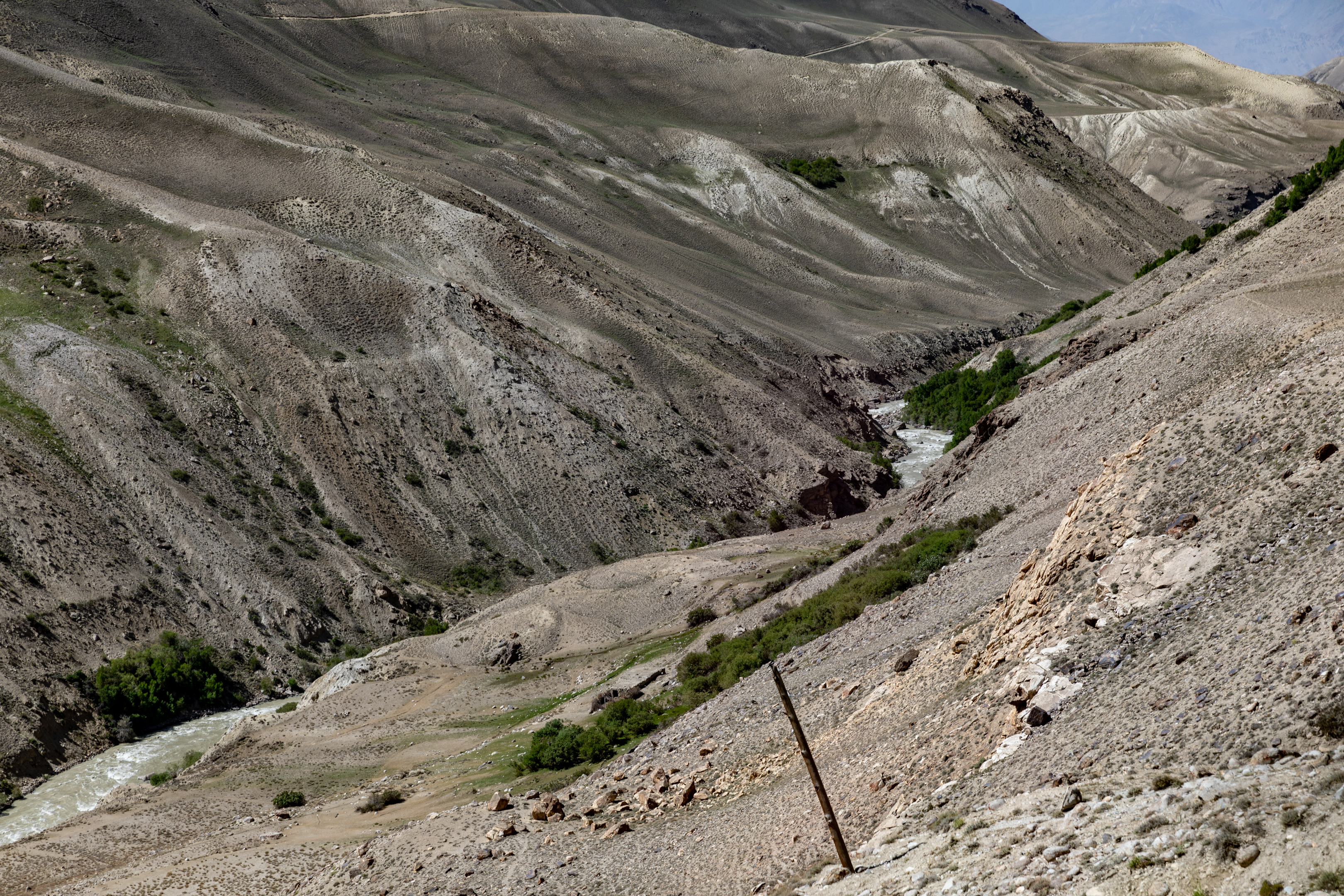
Tajikistan holds two UNESCO World Heritage Sites, and both are reachable as extended excursions from its capital: the 5,500-year-old proto-urban settlement of Sarazm to the north, and the vast high-altitude wilderness of Tajik National Park to the east. From Cultural Heritage Online.
Proto-urban Site of Sarazm 300 km north — 4 hrs by road
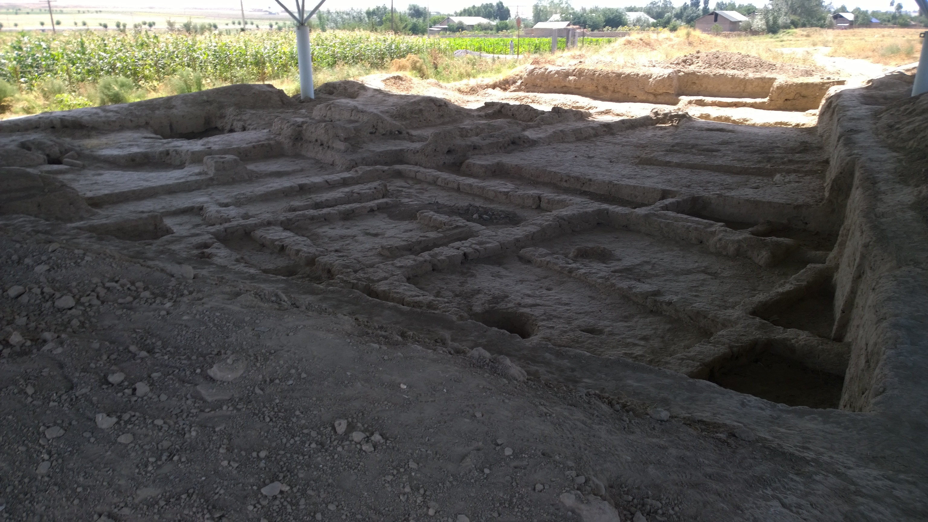
Sarazm sits at the eastern end of the Zerafshan Valley near the city of Panjikent, about 15 kilometres from the Uzbek border. The inscribed site covers a proto-urban settlement that was continuously occupied from roughly 3500 to 2000 BC — spanning the Eneolithic period and the early Bronze Age. At its peak, it was among the largest and most complex communities in the region, with a population that coordinated agricultural production in the valley alongside specialised craft industries.
Excavations have uncovered residential quarters, workshops dedicated to copper and bronze metallurgy, and pottery kilns whose products circulated well beyond the valley. The most striking evidence is of long-distance exchange: turquoise, lapis lazuli, and carnelian found at Sarazm trace connections to the Indus Valley Civilisation, Mesopotamia, and the Persian Gulf. These links position Sarazm not as a remote outpost but as an active node in a trade network that stretched across much of the ancient world, established here more than five millennia ago. A small selection of artefacts is displayed in the National Museum of Antiquities in Dushanbe, offering context before or after the journey to the site itself.
The road north from Dushanbe passes through the Anzob Tunnel — a long, dimly lit mountain tunnel that cuts under the Hissar Range and saves considerable time compared to the older high-mountain route — before descending into the Zerafshan Valley. The drive is straightforward in summer but can be delayed by tunnel closures or road conditions in spring. A combined trip with Panjikent’s 5th–8th century Sogdian ruins and the Rudaki Museum makes efficient use of the journey.
Getting there: Private car or shared taxi from Dushanbe to Panjikent via the Anzob Tunnel (M34 highway); no direct public bus. Sarazm is 15 km west of Panjikent, reachable by local taxi. Allow: One full day minimum; two days if combining with Panjikent’s Sogdian site. Best for: Travellers with an interest in Central Asian archaeology and early Bronze Age trade networks.
Tajik National Park (Mountains of the Pamirs) 200 km east — 4–6 hrs by 4WD
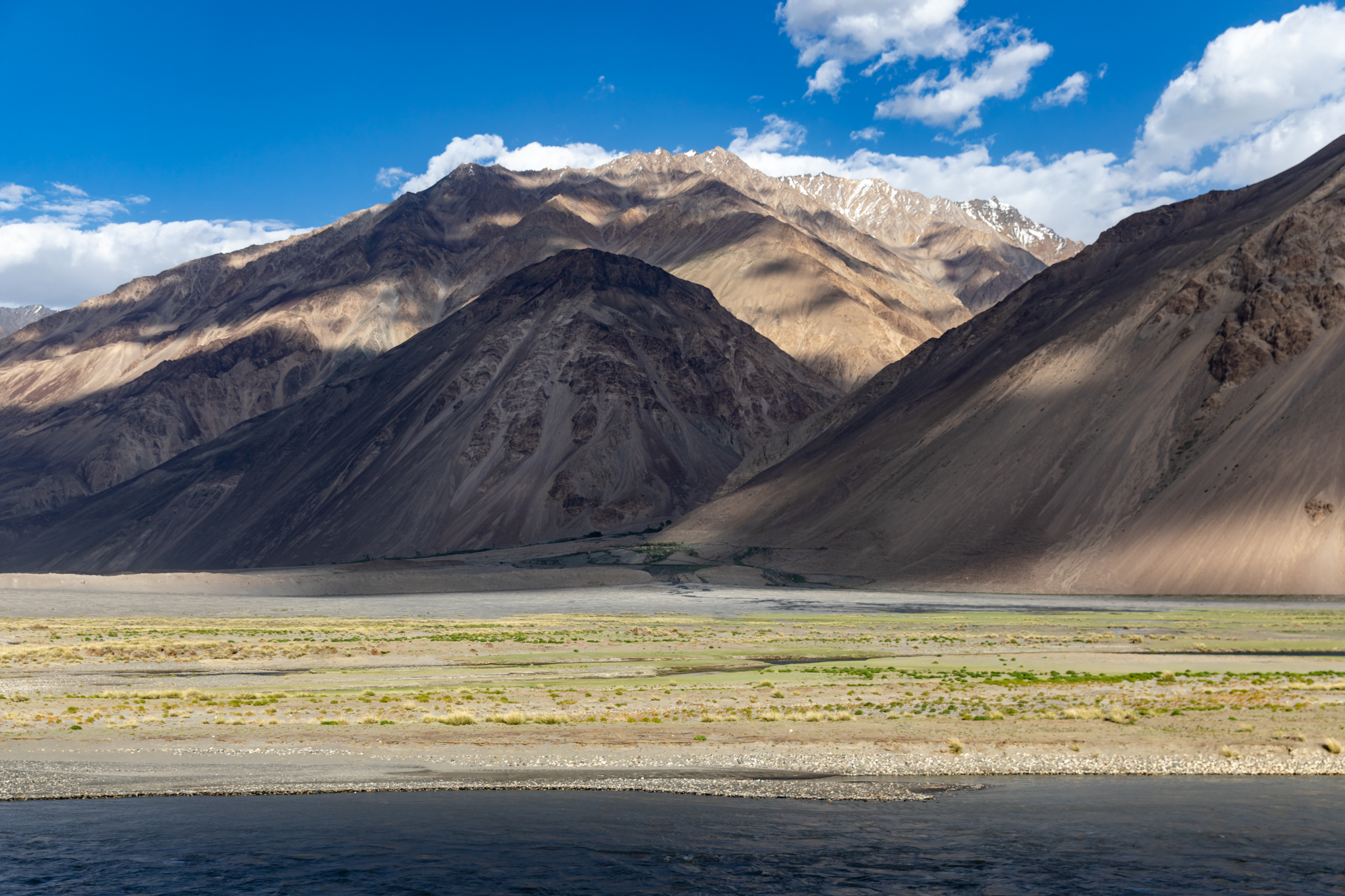
Tajik National Park covers 2.6 million hectares of the Eastern Pamirs — the second largest national park in the world by area and the largest in Central Asia. The inscribed territory takes in a high-altitude plateau at 3,500 to 5,000 metres elevation, a landscape formed by the collision of the Indian and Eurasian tectonic plates over tens of millions of years. The result is a terrain of exceptional geological scale: deeply folded ranges, glacier-fed lakes, and peaks that include Ismoil Somoni Peak (7,495 m, formerly Communism Peak) and Ibn Sina Peak (7,134 m, formerly Lenin Peak), the highest summits in the former Soviet Union.
The park encompasses the Zorkul and Rangkul lakes, both of significant ornithological value, and carries ancient Silk Road routes through its valleys. The Wakhan Corridor, which runs along the park’s southern boundary, was one of the principal overland passages between China and the Mediterranean world. Wildlife within the park includes Marco Polo sheep — whose spiralling horns distinguish them immediately — snow leopard, and the Pamir brown bear. Visitor infrastructure is minimal by design; access is by 4WD vehicle along the Pamir Highway (M41), one of the world’s highest-altitude paved roads, and the nearest town of any size inside the park’s sphere is Murghab at 3,618 metres.
The drive east from Dushanbe crosses the Rasht Valley before climbing steadily onto the plateau. Road conditions vary considerably: the M41 is sealed in stretches but deteriorates in others, and altitude gain is rapid enough that acclimatisation matters for those planning to trek. Organised expeditions out of Dushanbe typically allocate a minimum of five days for a meaningful circuit; two weeks allow for trekking approaches to the high peaks or extended wildlife observation in the eastern sections.
Getting there: 4WD vehicle required; shared jeeps and organised tours depart Dushanbe for Khorog (the main gateway town) and Murghab. A GBAO (Gorno-Badakhshan Autonomous Oblast) permit is required in addition to a standard Tajikistan visa — obtainable on arrival at Dushanbe airport or in advance. Allow: Minimum 5 days for a circuit; 10–14 days for trekking. Best for: High-altitude trekkers, wildlife observers, overland travellers on the Pamir Highway.
Frequently Asked Questions
How many UNESCO World Heritage Sites are near Dushanbe?
Tajikistan has two UNESCO World Heritage Sites, and both are accessible from Dushanbe: the Proto-urban Site of Sarazm (inscribed 2010), approximately 300 km to the north near Panjikent, and Tajik National Park — Mountains of the Pamirs (inscribed 2013), approximately 200 km to the east.
Do I need a special permit to visit Tajik National Park?
Yes. The park lies within the Gorno-Badakhshan Autonomous Oblast (GBAO), which requires a separate GBAO permit in addition to a standard Tajikistan tourist visa. The permit can be obtained on arrival at Dushanbe International Airport, through a Tajik embassy before travel, or via licensed travel agencies. It is straightforward to arrange and inexpensive.
When is the best time to visit both sites in a single trip?
June through September is the practical window for combining both sites. Sarazm is accessible from spring onwards, but the Pamir Highway to Tajik National Park becomes reliably passable only from late May, with the clearest conditions in July and August. A two-week itinerary departing Dushanbe in early summer can cover the Zerafshan Valley and Sarazm on the way north, then loop east to the Pamirs before returning to the capital.
What makes Sarazm significant for the history of urban settlement?
Sarazm provides the earliest known evidence of proto-urban life in Central Asia, dating back approximately 5,500 years. The site’s excavated remains — metallurgical workshops, pottery kilns, residential structures, and imported luxury goods from the Indus Valley, Mesopotamia, and the Persian Gulf — demonstrate that this Zerafshan Valley community was already participating in an intercontinental trade network during the Eneolithic period, centuries before comparable urban centres emerged elsewhere in the region.

.jpg)

.jpg)