
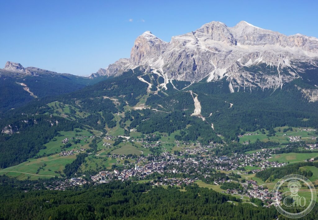
The Dolomites are a chain of pale limestone towers in the eastern Italian Alps, famous for the enrosadira, the reddening of the rock at dawn and dusk, and for peaks such as the Tre Cime di Lavaredo and the Marmolada, whose glacier is retreating fast.
At a glance
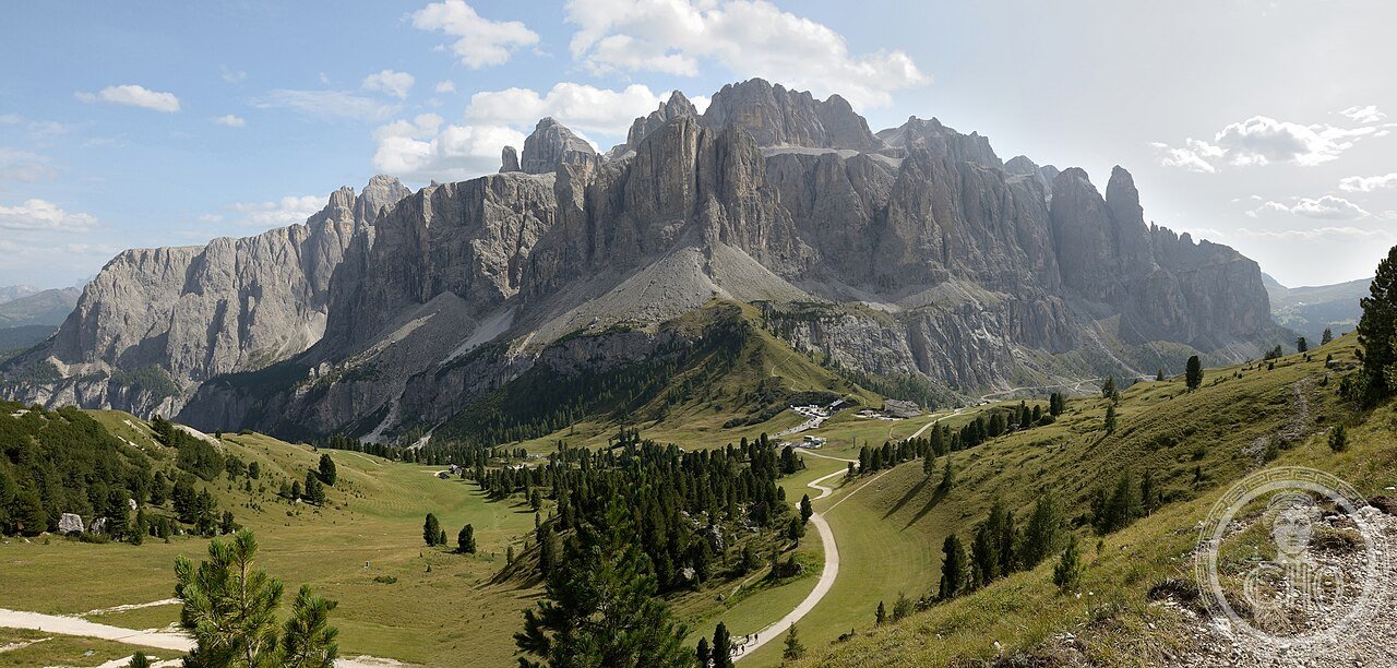
The Dolomites span nine distinct mountain systems across Trentino-Alto Adige, Veneto and Friuli Venezia Giulia, inscribed by UNESCO as a natural World Heritage Site in 2009 for their landscape values and geology. The area covers 141,902 hectares of core zone with a further buffer around it.
The range takes its name from dolomite, the carbonate rock first identified here by the geologist Déodat de Dolomieu. Its most photographed feature, the Tre Cime di Lavaredo, and its highest point, the Marmolada, both draw visitors for the enrosadira, the brief reddening of the rock at sunrise and sunset caused by the low angle of the light.
Key facts
- Location: Cortina d’Ampezzo, Trentino-Alto Adige, with the range extending into Veneto and Friuli Venezia Giulia
- UNESCO status: inscribed 2009 as a natural World Heritage Site, reference 1237
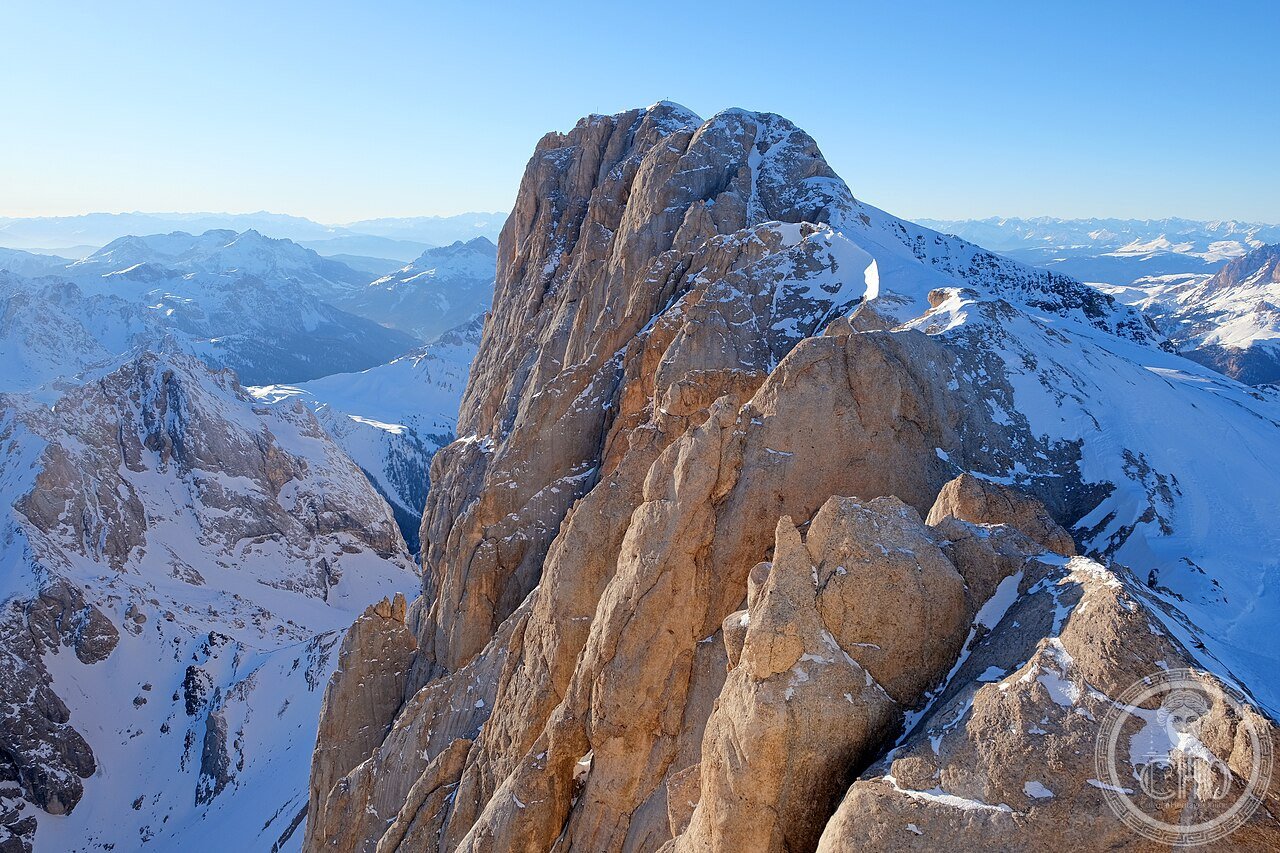
- Highest peak: the Marmolada, 3,343 metres at Punta Penia, also holding the range’s largest glacier
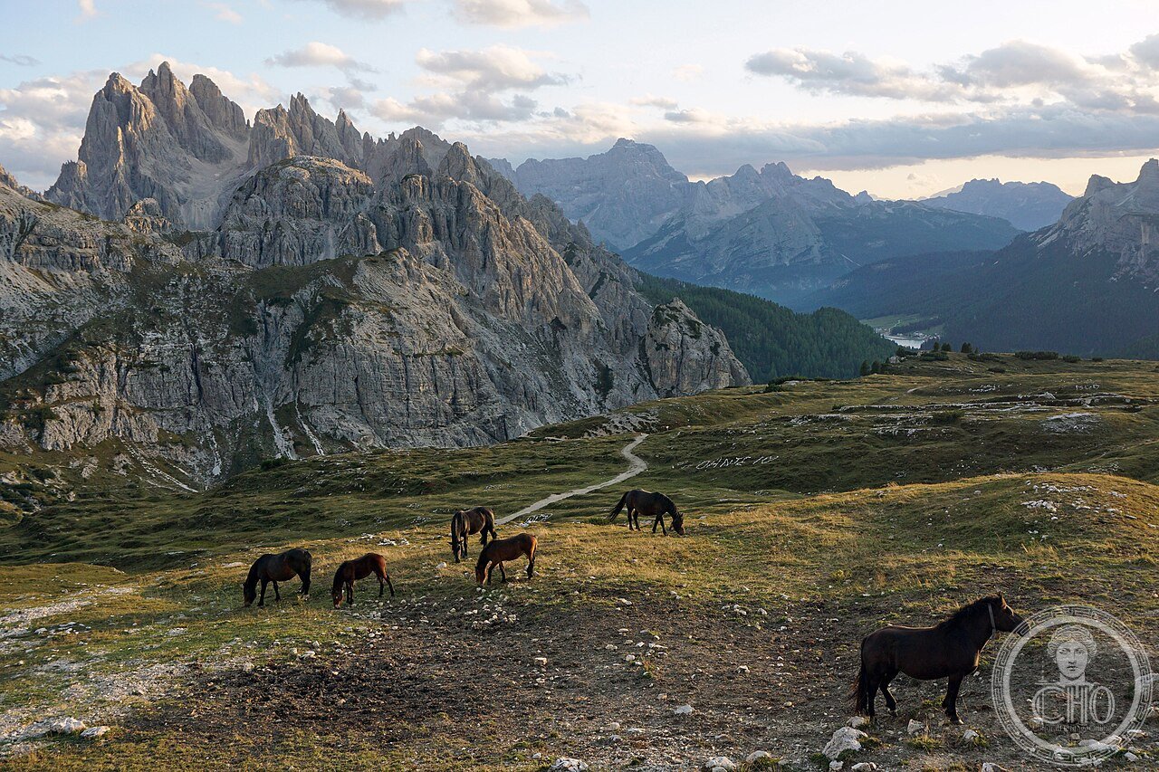
- Best-known landmark: the Tre Cime di Lavaredo, three limestone towers reaching up to 2,999 metres
- Rock type: dolomia, or dolomite, a calcium magnesium carbonate rock named after Déodat de Dolomieu
- Coordinates: approximately 46.5404° N, 12.1357° E at Cortina d’Ampezzo
History
The rock of the Dolomites formed around 250 million years ago in the Late Triassic, when the area lay beneath a warm shallow sea related to the Tethys Ocean, at a latitude comparable to today’s Bahamas. Coral, sponge and algal reefs built up thick carbonate platforms, later altered by magnesium-rich groundwater into dolomite through a process called dolomitization. As the Tethys closed and Africa moved north into Europe, the Alpine orogeny compressed and lifted these platforms over tens of millions of years to their present altitude.
The rock was first scientifically described by the French geologist Déodat de Dolomieu, who visited the area between 1789 and 1791 and published his observations in 1791, noting that it effervesced only weakly with acid, unlike ordinary limestone. The mineral was named dolomite in his honour by Nicolas de Saussure in 1792.
The Marmolada’s summit, Punta Penia, was first climbed in 1864 by the Austrian mountaineer Paul Grohmann with guides Angelo and Fulgenzio Dimai. The mountain later became a front line during the First World War, when Austrian troops tunnelled through the glacier to build an underground shelter for hundreds of soldiers, and an artillery-triggered avalanche in December 1916 killed a large number of Italian troops in a single day. The Dolomites were inscribed by UNESCO as a natural World Heritage Site in 2009.
What you see
The Tre Cime di Lavaredo present three sheer limestone towers, Cima Grande, Cima Ovest and Cima Piccola, best known for the north face of the Cima Grande, first climbed by Emilio Comici and the Dimai brothers in 1933 on what was considered the hardest alpine route of its era. A circuit path from the Rifugio Auronzo runs around the base of all three towers, with the north face visible at its midpoint and good views of the enrosadira from its eastern side in early morning light.
Elsewhere in the range, long-distance routes known as the Alte Vie cross the wider Dolomiti World Heritage area, the best known running from Lago di Braies to Belluno. In winter the connected ski area around Cortina and neighbouring valleys forms one of the largest linked lift networks in the world, including circuits such as the Sellaronda around Arabba, Corvara, Colfosco and Canazei.
The Marmolada dominates the range as its highest summit and carries its largest glacier, though the ice has shrunk markedly over the past century and continues to retreat.
Practical information
- Access to the Tre Cime: reached by road to the Rifugio Auronzo in summer, which is the starting point for the circuit walk; check current access and any seasonal charges with local authorities before travelling
- Season: hiking trails are generally clear of snow from July to September; the ski season runs through winter
- Mountain huts: rifugi such as Auronzo provide refreshments and are the starting points for many walks
- Safety: conditions on high routes and near the Marmolada glacier can change quickly; check local avalanche and weather advisories
Getting there
Cortina d’Ampezzo is the main gateway town for this part of the Dolomites, reachable by road from the surrounding valleys of Trentino-Alto Adige and Veneto. Onward travel into the mountains, including to the Tre Cime and the Marmolada, is by local road and cable car; travellers should consult official tourism or transport sources for current routes and any restrictions.
Nearby
- Marmolada — the range’s highest peak and largest glacier, with First World War tunnels dug through the ice
- Pale di San Martino — one of the nine UNESCO mountain systems, offering further high-altitude walking
- Sellaronda ski circuit — a linked winter itinerary around Arabba, Corvara, Colfosco and Canazei
- Alta Via 1 — a long-distance trail running from Lago di Braies to Belluno through the wider Dolomiti area
Sources
- UNESCO
- Comitato Glaciologico Italiano
- Consiglio Nazionale delle Ricerche (CNR)
Gallery
Find it on the map
See this place and what’s around it →📷 Become a Cultural Heritage Online photographer
Share your photos of places: they stay published under your name as the author. The more they're seen, the more you get noticed — and soon a contest will reward the most appreciated photos.
Log in or sign up free to add a photo