
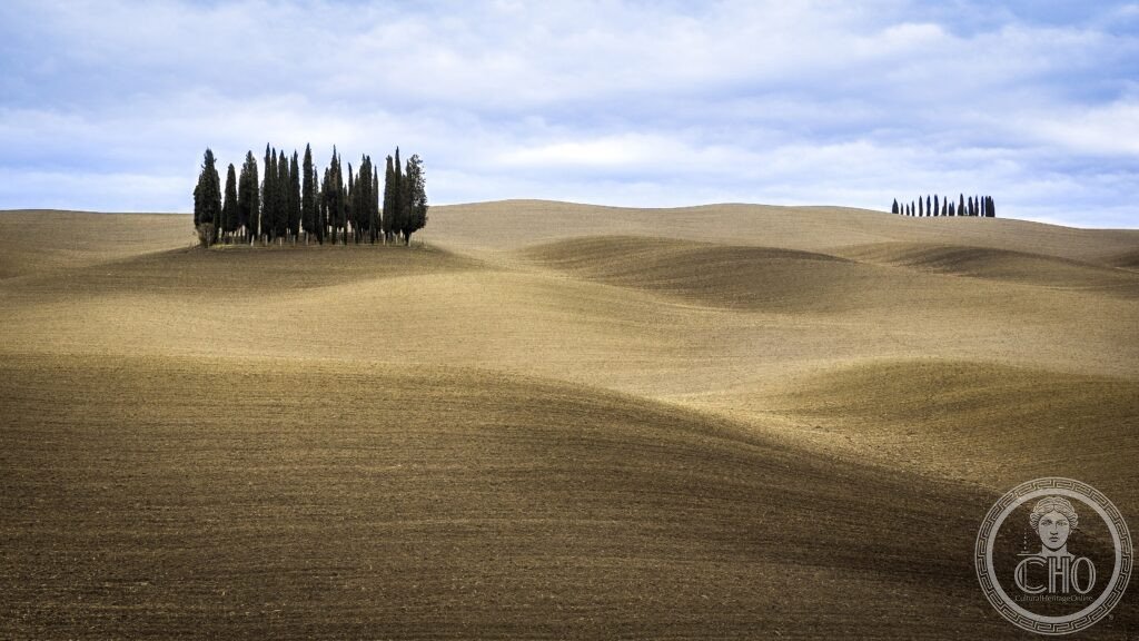
The Val d’Orcia is a stretch of Sienese countryside where clay hills, cypress-lined roads and hilltop towns form the landscape that fourteenth-century Sienese painters set behind their Madonnas, and that photography later carried around the world.
At a glance
The Val d’Orcia lies south of Siena, between Pienza, Radicofani, Montalcino and Abbadia San Salvatore, following the valley of the Orcia river. It was inscribed by UNESCO in 2004 as a cultural landscape, the first Italian inscription made for an agricultural landscape rather than for a monument.
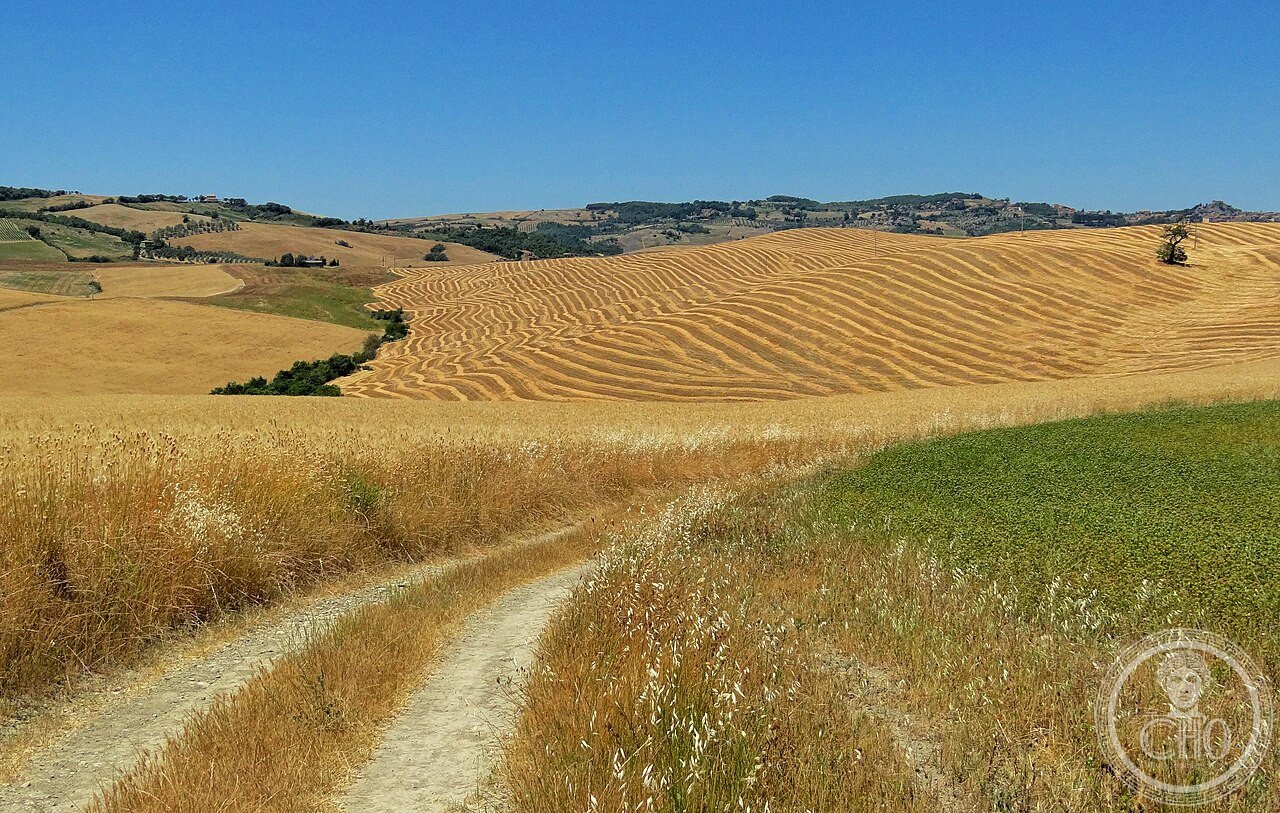
The valley combines the eroded clay hills known locally as the Crete Senesi, medieval and Renaissance towns such as Pienza, Montalcino and Bagno Vignoni, and a countryside still marked by cypress windbreaks and pale dirt roads.
Key facts
- Location: Province of Siena, Tuscany, between Pienza, Radicofani, Montalcino and Abbadia San Salvatore.
- Recognition: UNESCO World Heritage Site since 2004, reference 1026, listed as a cultural landscape.
- Geology: the hills are formed of Pliocene marine clay and limestone, laid down between roughly 3.5 and 1.8 million years ago, eroded into the rounded biancane and the sharper balze.
- Pienza: built 1459–1462 for Pope Pius II by the architect Bernardo Rossellino, regarded as the only Renaissance ideal city actually completed.
- Agriculture: home to Brunello di Montalcino DOCG wine and Pecorino di Pienza cheese, produce of a landscape shaped for centuries by the mezzadria sharecropping system.
History
The valley’s medieval life was bound up with the Via Francigena, the pilgrimage road linking Canterbury to Rome, which crossed the Val d’Orcia through Buonconvento, San Quirico d’Orcia and Radicofani. The Sienese commune controlled and taxed this route, and fortified the valley at Radicofani, Castiglione d’Orcia and Montalcino to protect it.
The Republic of Siena governed the area until its fall in 1555, after which the valley passed to the Grand Duchy of Tuscany under the Medici. For centuries the landscape was worked under the mezzadria system, in which sharecroppers farmed land assigned by the Sienese commune in exchange for a share of the produce; the cypress windbreaks, white clay roads and isolated farmhouses that define the valley today largely date from this arrangement. The system was abolished in 1964, after which many sharecroppers left for the cities and landowners turned increasingly to wine production and farm tourism.
The valley entered Western art in the fourteenth century through Ambrogio Lorenzetti’s Allegory of Good and Bad Government, painted in the Palazzo Pubblico in Siena between 1338 and 1340, which is considered the first landscape painting in Western art since antiquity and shows the Val d’Orcia much as it appeared at the time. UNESCO inscribed the valley as a cultural landscape in 2004, under reference 1026.
What you see
Pienza’s historic centre is built around Piazza Pio II, with the Cathedral of Santa Maria Assunta, built as an unusual three-naved hall church whose floor tilts slightly toward the altar owing to ground movement during construction, left uncorrected by agreement between Pius II and Rossellino. Alongside it stands the Palazzo Piccolomini, the pope’s residence, with a hanging garden and loggia designed to frame the view over the Val d’Orcia below.
Further south, Montalcino is known for its fourteenth-century fortress and for Brunello di Montalcino, a wine made entirely from Sangiovese Grosso grapes and aged for a minimum of several years. Bagno Vignoni is built around a central piazza filled by a thermal pool rather than a fountain, with public baths in the valley below.
Between the towns, the countryside itself is the main attraction: white dirt roads, cypress-lined lanes and bare clay hillsides, of which the curved cypress avenue near La Foce, outside Chianciano Terme, is the most photographed.
Practical information
- Transport: the Val d’Orcia is best explored by car, since the unsurfaced white roads that cross the open countryside are not served by public transport; bus services run from Siena to Pienza and to Montalcino.
- By train: the nearest mainline station is Chiusi-Chianciano Terme, reached from Rome, with onward travel by taxi or car to Pienza.
- Roads: the white clay roads, including the SP53, SP34 and SP38, can become slippery after rain and should be driven with care.
- Photography: the cypress avenue near La Foce is best seen in the soft light of early morning or evening; visitors are asked to park at the roadside and keep off private fields.
Getting there
A car is effectively necessary to see the Val d’Orcia’s countryside, since the white roads and cypress avenues lie beyond the reach of bus routes. Buses run from Siena to Pienza and to Montalcino, and the nearest railway station is Chiusi-Chianciano Terme, from where Pienza can be reached by taxi or hire car.
Nearby
- Montepulciano — about 15 km away, known for Nobile di Montepulciano DOCG wine and for the Tempio di San Biagio, designed by Antonio da Sangallo the Elder from 1518.
Sources
- UNESCO
Gallery
Find it on the map
See this place and what’s around it →📷 Become a Cultural Heritage Online photographer
Share your photos of places: they stay published under your name as the author. The more they're seen, the more you get noticed — and soon a contest will reward the most appreciated photos.
Log in or sign up free to add a photo