
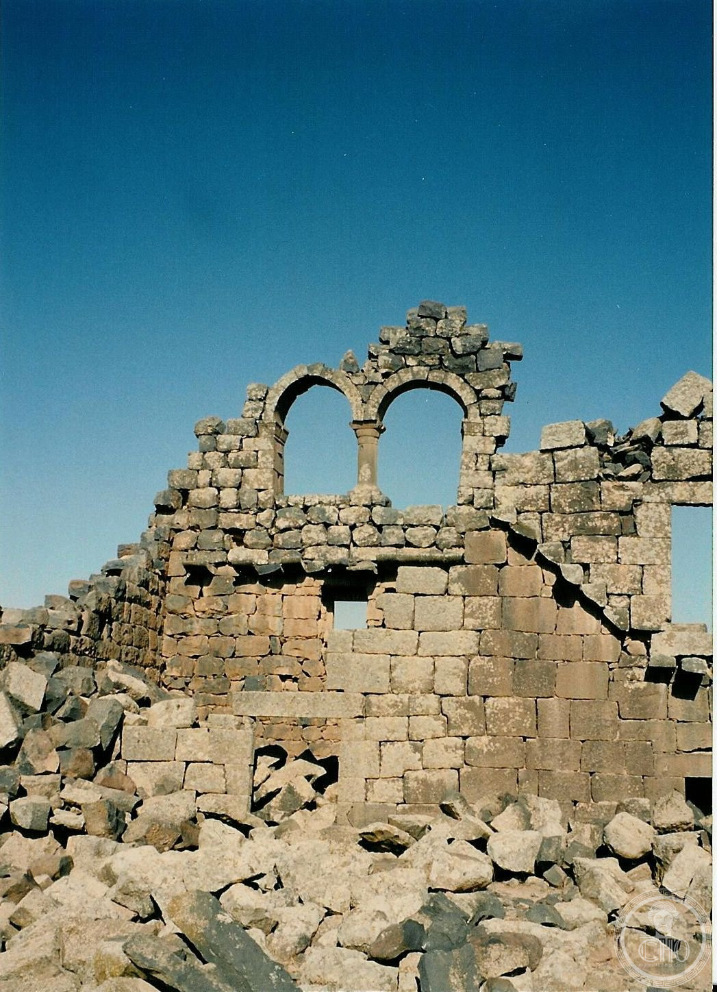
The black gem of the desert – a basalt town of corbelled houses standing to three storeys, commoners’ antiquity UNESCO listed in 2024.
At a glance
- Type
- Archaeological town (UNESCO 2024)
- Period
- Nabataean-Roman to Umayyad, 1st-8th century
- Style
- Basalt corbel architecture
- Location
- Hauran plain, northern Jordan
- Coordinates
- 32.3261, 36.3697
- Nickname
- Mother of Camels; the Black Gem
Overview
Umm el-Jimal – Mother of Camels – spreads 150 black basalt houses, churches, and reservoirs across the Hauran lava plain: not a monumental city but a prosperous country town of late antiquity whose corbelled stone floors and stairs still stand three storeys without timber or arch. UNESCO’s 2024 inscription honoured everyday antiquity – how ordinary Byzantines and Umayyads actually lived.
History
Nabataean traders, a Roman frontier post on the Via Nova Traiana, and a Christian boomtown of fifteen churches succeeded each other; inscriptions in five languages name centurions and bishops. The 749 earthquake and Abbasid shifts emptied it gently – no destruction layer, just departure – leaving the basalt skeleton Bedouin reoccupied and modern Umm el-Jimal village now stewards through community archaeology.
Architecture and Design
Basalt beams corbel ceilings; mangers, door-slabs, and window grilles survive in stone where wood would have rotted – domestic detail unmatched east of Pompeii. The barracks’ chapel tower, the cathedral’s arches, and the great reservoir show the public register; house 119’s restored rooms model the dwelling type.
Cultural significance
The site reframes heritage toward the unfamous – village late antiquity, water-harvesting genius, Bedouin continuity – and gives Jordan’s north a counterpart to Petra’s spectacle in quieter key.
Visiting today
The interpretive centre and trails open daily; community guides from the village bring the houses to speech. Pair with Jerash and the basalt Hauran’s churches toward Bosra.
Getting there
The site lies 20 km east of Mafraq, 90 minutes from Amman by car off the Baghdad highway.
Sources and resources
Find it on the map
See this place and what’s around it →Record researched and written by Luigi De Marchi for Cultural Heritage Online, 2026.
📷 Become a Cultural Heritage Online photographer
Share your photos of places: they stay published under your name as the author. The more they're seen, the more you get noticed — and soon a contest will reward the most appreciated photos.
Log in or sign up free to add a photoIs this page about you?
This page is read by travellers and heritage enthusiasts who find it on Google. Tell us how you are connected to this place and we will take it from there.