

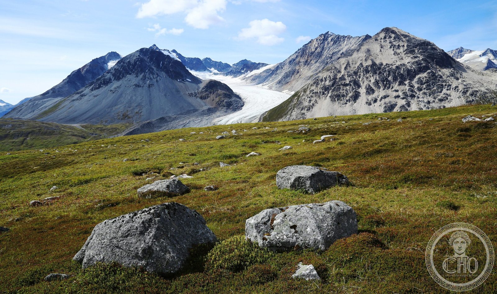
A vast wilderness of 9,580 square kilometers in northwestern British Columbia, designated to preserve one of North America’s most pristine ecosystems and protect critical habitats from industrial development.
At a glance
Tatshenshini-Alsek Provincial Park encompasses some of the most remote and ecologically significant terrain in British Columbia. The park straddles the northwestern corner of the province, bordered by Alaska and Yukon Territory. Its designation as a UNESCO World Heritage Site in 1994 reflects the extraordinary natural values contained within its boundaries.
History
The park was established in 1993 following an intensive conservation campaign led by Canadian and American organizations. Their efforts successfully halted mining exploration and development proposals that threatened the region’s pristine wilderness and biodiversity. The creation of Tatshenshini-Alsek represented a landmark victory for transnational conservation efforts in North America.
What you see
The park encompasses all land in British Columbia west of the Haines Highway. Its landscape forms part of the larger Kluane-Wrangell-St. Elias-Glacier Bay-Tatshenshini-Alsek park system, an international complex that unites protected areas across three jurisdictions. The terrain encompasses diverse ecosystems integral to the region’s ecological identity.
Cultural significance
Tatshenshini-Alsek’s designation as a UNESCO World Heritage Site acknowledges its exceptional natural heritage and biodiversity values. The park protects critical wildlife corridors and habitats across an international boundary, demonstrating how conservation transcends political borders. It stands as a testament to the power of organized advocacy in preserving wilderness for future generations.
Key facts
- Area: 9,580 km² (3,700 sq mi)
- Location: Northwestern British Columbia, Canada
- Coordinates: 59.8675°N, 138.0136°W
- Established: 1993
- UNESCO World Heritage Site: 1994
Practical information & getting there
The park is located in one of Canada’s most remote regions, accessible primarily by air or the Haines Highway. Due to its wilderness character and limited infrastructure, visit planning should account for the park’s isolated location and extreme weather conditions. Consult provincial park services for current access conditions and regulations before planning a visit.
Sources & resources
Find it on the map
See this place and what’s around it →📷 Become a Cultural Heritage Online photographer
Share your photos of places: they stay published under your name as the author. The more they're seen, the more you get noticed — and soon a contest will reward the most appreciated photos.
Log in or sign up free to add a photo