
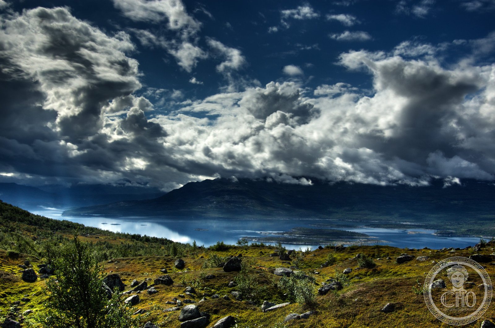
Sweden’s third-largest national park sprawls across the subarctic landscape of Swedish Lapland, embracing boreal forests, mountains, and the Akkajaure reservoir near the Arctic Circle.
At a glance
Covering 1,278 square kilometers, Stora Sjöfallet dominates the terrain of Gällivare and Jokkmokk municipalities in Norrbotten County. The park lies approximately 20 kilometers north of the Arctic Circle, bordering Norway to the west. Its name means ‘The Great Lake Falls’ in Swedish, while the Lule Sami call it Stuor Muorkke, ‘Great Portage’—a reminder of the region’s indigenous heritage.
History
The area was designated as a national park in 1909, marking early Swedish conservation efforts in the far north. Today, Stora Sjöfallet forms part of the Laponian area, a UNESCO World Heritage Site that encompasses the cultural landscape and natural heritage of Swedish Lapland.
What you see
The park wraps around the Akkajaure reservoir from the north, east, and south, offering dramatic water views against a backdrop of subarctic wilderness. Boreal forest, fell mountains, and wetlands characterize the landscape, with seasonal variations in light defining the visitor experience across the year.
Cultural significance
Stora Sjöfallet embodies the intersection of natural preservation and Sami cultural heritage. As part of the Laponian World Heritage Site, it protects both pristine ecosystems and the traditional livelihoods of the Sami people. The park also belongs to Natura 2000, the European Union’s network of protected areas for biodiversity conservation.
Key facts
- Area: 1,278 km² (493 mi²)—Sweden’s third-largest national park
- Location: Gällivare Municipality and Jokkmokk Municipality, Norrbotten County
- Coordinates: 67.48°N, 18.35°E
- Established: 1909
- UNESCO World Heritage Site: Yes (part of Laponian area)
- Natura 2000 protected area: Yes
Practical information & getting there
The park is accessible from the towns of Gällivare and Jokkmokk. Northern Sweden’s remote location demands careful planning; summer offers midnight sun and accessibility, while winter brings extreme cold and limited daylight. Check local visitor services for current conditions and facilities.
Sources & resources
Find it on the map
See this place and what’s around it →📷 Become a Cultural Heritage Online photographer
Share your photos of places: they stay published under your name as the author. The more they're seen, the more you get noticed — and soon a contest will reward the most appreciated photos.
Log in or sign up free to add a photo