
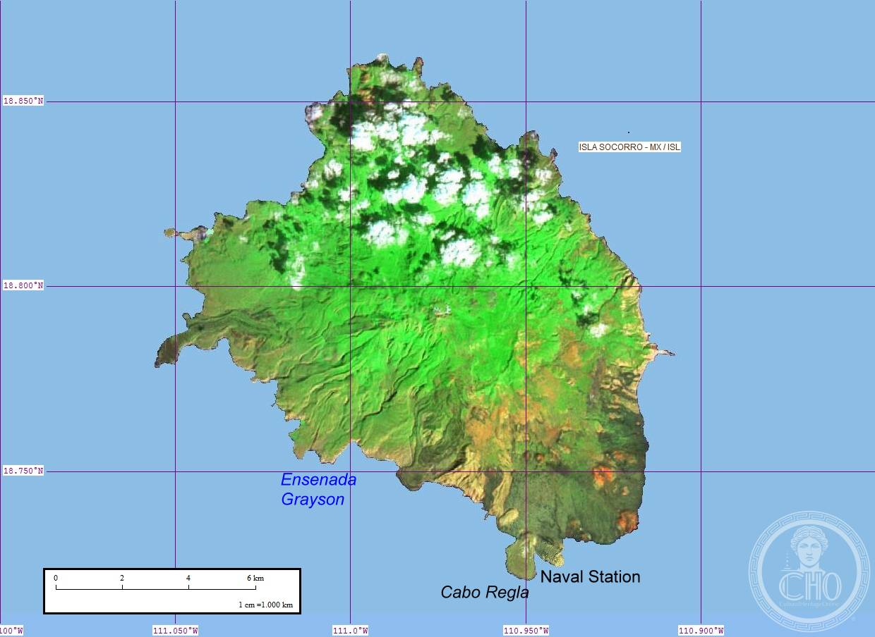
A volcanic island 600 kilometres west of Mexico’s coast, Socorro Island remains geologically active and stands as the largest of the Revillagigedo Archipelago’s four islands.
At a glance
Socorro Island measures 16.5 by 11.5 kilometres, encompassing 132 square kilometres of volcanic terrain. Its remote location in the eastern Pacific Ocean—370 miles from mainland Mexico—has shaped both its ecology and human presence. The island’s volcanic origins continue to define its character.
History
Part of the Revillagigedo Islands, a Mexican possession, Socorro Island has remained a remote outpost in the Pacific. The island’s most recent volcanic eruption occurred in 1993, a reminder of its dynamic geology.
What you see
The island’s landscape reflects its volcanic foundation. Dramatic peaks and volcanic formations characterise the terrain, shaped by millions of years of tectonic activity in this geologically active region.
Cultural significance
Socorro Island holds importance for marine conservation and geological study. Its isolation has created unique ecosystems that attract scientific researchers and ocean explorers interested in volcanic and marine environments.
Key facts
- Location: 600 kilometres off Mexico’s western coast
- Dimensions: 16.5 by 11.5 kilometres
- Area: 132 square kilometres
- Status: Largest of four Revillagigedo Islands
- Last eruption: 1993
- Coordinates: 18.78°N, 110.98°W
Practical information & getting there
Socorro Island is accessible only by boat from mainland Mexico, typically as part of organised scientific expeditions or dive tours. The island remains remote and largely undeveloped, requiring advance planning to visit.
Sources & resources
Find it on the map
See this place and what’s around it →📷 Become a Cultural Heritage Online photographer
Share your photos of places: they stay published under your name as the author. The more they're seen, the more you get noticed — and soon a contest will reward the most appreciated photos.
Log in or sign up free to add a photo