
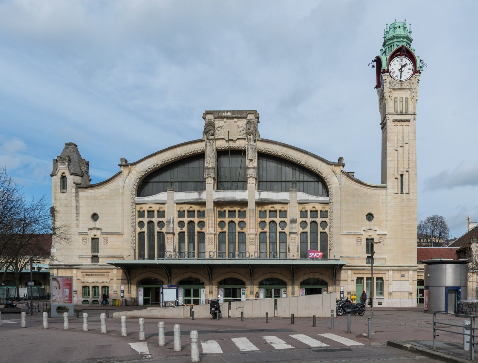
A major railway hub in Normandy connecting Rouen to France’s intercity network, including high-speed TGV services linking the Channel coast to the Mediterranean.
At a glance
Rouen–Rive-Droite serves as the primary railway station for the historic city of Rouen, strategically positioned on Rue Verte in the city’s northern quarter. The station handles a substantial mix of intercity and local rail traffic, anchoring regional connectivity across Normandy and beyond.
History
The source provides no documented history of the station’s construction or development.
Cultural significance
The station anchors Rouen’s role as a transportation gateway for Normandy, facilitating access to one of France’s most historically significant medieval cities. It forms part of the national rail network connecting the Normandy coast to southern France.
Key facts
- Country: France
- City: Rouen
- Coordinates: 49.4489, 1.0939
- Intercity services include TGV trains from Le Havre to Marseille-Saint-Charles
Practical information & getting there
The station is located on Rue Verte in northern Rouen. You can reach it by local transport connections within the city. For current schedules and ticket information, consult the SNCF (French national railway) website or contact the station directly.
Sources & resources
Find it on the map
See this place and what’s around it →📷 Become a Cultural Heritage Online photographer
Share your photos of places: they stay published under your name as the author. The more they're seen, the more you get noticed — and soon a contest will reward the most appreciated photos.
Log in or sign up free to add a photoIs this page about you?
This page is read by travellers and heritage enthusiasts who find it on Google. Tell us how you are connected to this place and we will take it from there.