
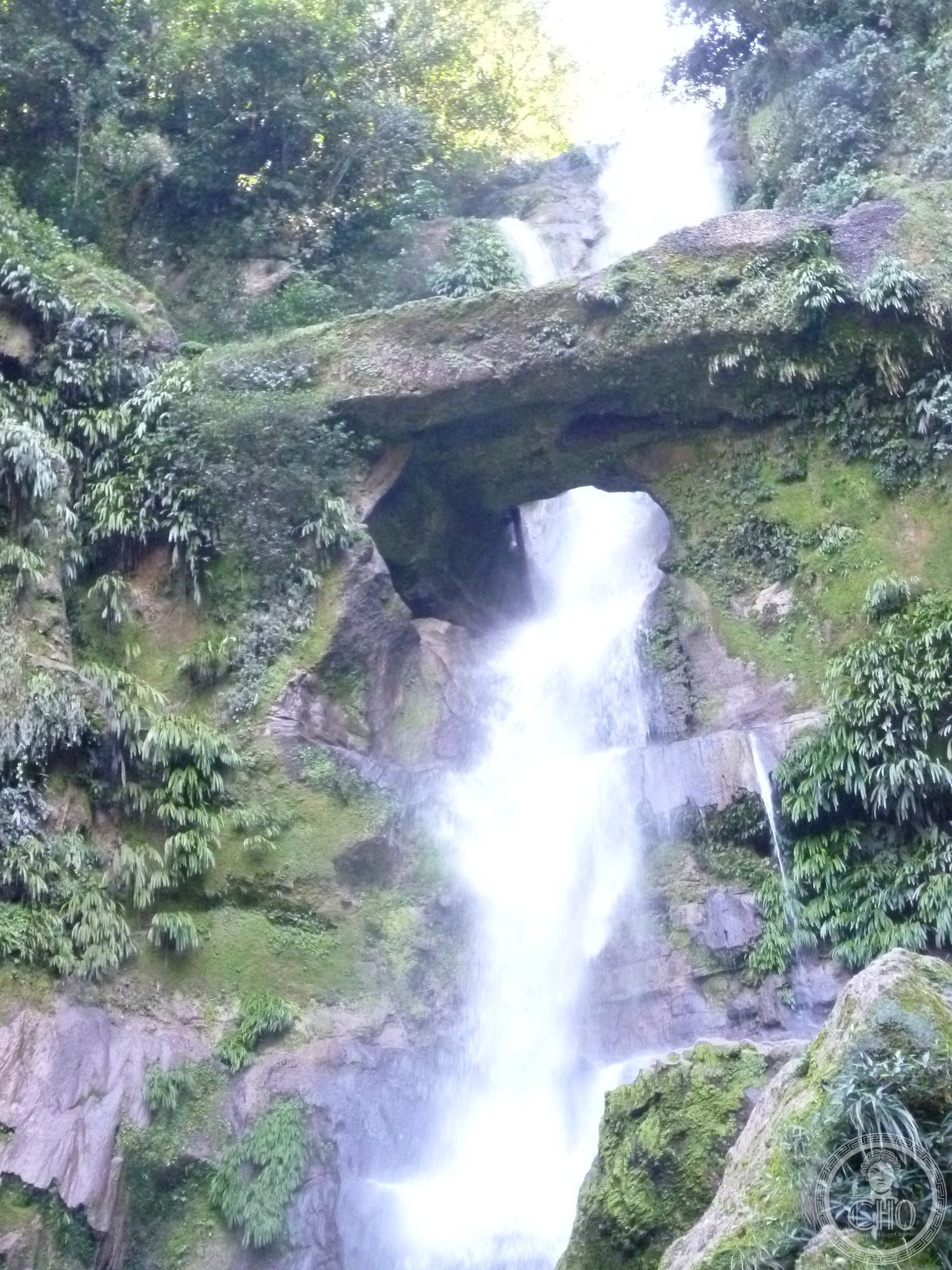
In the cloud forests of the northern Peruvian Andes, where the cloud never lifts from the summits and moss covers every stone, Río Abiseo National Park holds one of the most extraordinary meetings of nature and archaeology on the American continent. Gran Pajatén — a circular pre-Inca city of the Chachapoya, the “People of the Clouds” — was “rediscovered” only in 1963 and still hides most of its secrets in the forest. The park also protects the very rare yellow-tailed woolly monkey, one of the most threatened monkeys of the Americas. UNESCO since 1990 for its natural value, and since 1992 for its cultural value as well.
At a glance
Río Abiseo National Park is a remote protected area of 274,520 hectares in the department of San Martín, north-central Peru, on the eastern flank of the Andes at elevations from 350 m (Amazon lowlands) to 4,350 m (Andean peaks). It was first inscribed as a Natural World Heritage Site in 1990 (ref. 548) for its extraordinary biodiversity, and expanded to a Mixed Heritage Site in 1992 after the Gran Pajatén ruins were formally documented. The Gran Pajatén is a circular Chachapoya site (10th–15th centuries AD) of decorated stone towers on a remote ridge. The park is also critical habitat for the yellow-tailed woolly monkey (Lagothrix flavicauda) — one of Peru’s rarest primates, found only here and in a few other cloud-forest sites.
Key facts
- UNESCO: Natural Heritage 1990, Mixed Heritage 1992 (Río Abiseo National Park, ref. 548)
- Area: 274,520 hectares of cloud forest, páramo and Amazonian lowland
- Gran Pajatén: 10th–15th-century circular Chachapoya archaeological complex; decorated stone friezes of human figures and animals
- Yellow-tailed woolly monkey: critically endangered; one of the rarest primates in the Americas; found only in this region
- Archaeological sites: over 30 pre-Columbian sites documented within the park
- Remoteness: no road access; the Gran Pajatén requires 4–5 days on foot from the nearest village
History
The Chachapoya people (“Warriors of the Clouds”) built a sophisticated civilisation in the cloud forests of northern Peru between approximately 900 and 1470 AD. Their distinctive round towers with geometric stone friezes stand on inaccessible ridges throughout the Amazonas and San Martín regions. The Chachapoya were conquered by the Inca Empire around 1470 and largely assimilated; the Spanish conquest further disrupted their culture. Many sites remained unknown to outsiders until the 20th century.
Gran Pajatén was brought to international attention in 1963 by a Peruvian expedition, though local hunters and prospectors knew of the ruins. Formal archaeological excavations began in the 1980s and revealed decorated stone friezes (human figures with headdresses, condors, birds) of exceptional artistic quality. The national park was created in 1983 specifically to protect both the ruins and the ecosystem. UNESCO’s dual inscription (natural 1990, cultural 1992) reflects the site’s twin significance.
What you see
The Gran Pajatén consists of circular stone towers (up to 10 m high) decorated with intricate geometric and figurative friezes: human faces in profile, condors, anthropomorphic figures in high relief. The site occupies a ridge at about 2,850 m and is surrounded by cloud forest — mossy trees, orchids, bromeliads and the persistent mist that gives the Chachapoya their name.
The approach crosses spectacular waterfalls (Cataratas del Breo) and passes through primary cloud forest where yellow-tailed woolly monkeys, spectacled bears and mountain tapirs may be encountered. The journey itself — 4–5 days from Juanjuí by mule and foot — is an adventure in itself.
Practical information
- Access: extremely remote; requires a permit from SERNANP (Peru’s national parks authority) and an authorised guide
- Base: Juanjuí (San Martín department) is the nearest town; guide and mule hire available there
- Duration: a minimum of 7–10 days for the full round trip to Gran Pajatén
- Best time: May–September (dry season; trails accessible; clouds thinner)
Getting there
Fly from Lima to Tarapoto (San Martín), then drive to Juanjuí (3 hrs south-west). From Juanjuí, arrange guides and mules for the multi-day trek into the park. GPS (Gran Pajatén): 7.75° S, 77.25° W.
Nearby
- Kuélap (UNESCO) — the great Chachapoya mountain fortress, accessible by cable car from Chachapoyas, 200 km north-west
- Tarapoto — the lively San Martín city and gateway to the high jungle, 200 km north-east
- Gocta Waterfalls — among the world’s tallest uninterrupted waterfalls (771 m), 180 km north-west
Sources
- UNESCO World Heritage Centre — “Río Abiseo National Park” (ref. 548)
- Encyclopaedia Britannica — Chachapoya people
- SERNANP — Parque Nacional Río Abiseo management plan
Find it on the map
See this place and what’s around it →📷 Become a Cultural Heritage Online photographer
Share your photos of places: they stay published under your name as the author. The more they're seen, the more you get noticed — and soon a contest will reward the most appreciated photos.
Log in or sign up free to add a photo