
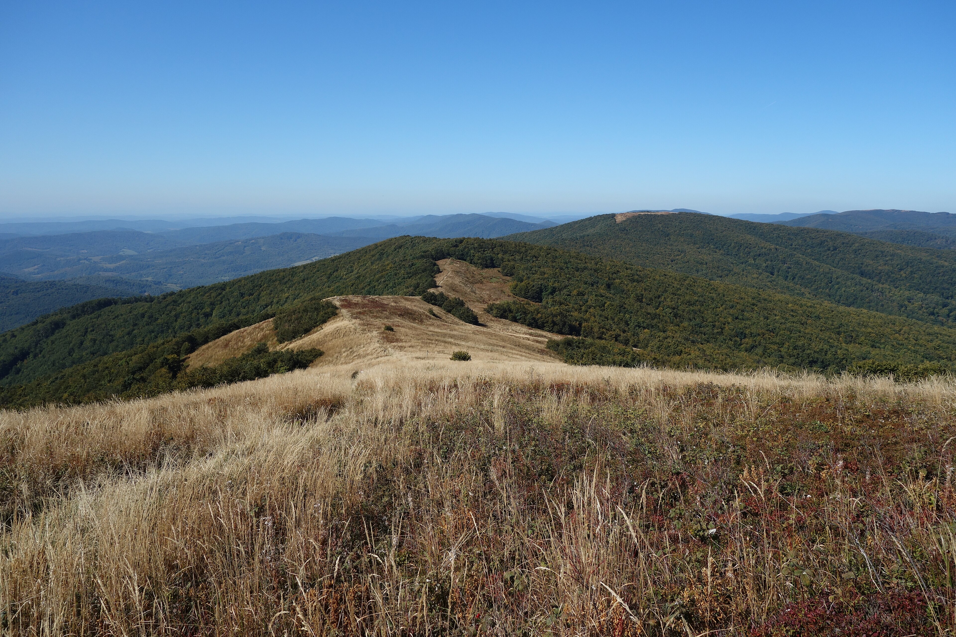
A wilderness reserve in the Eastern Carpathians where ancient beech forests meet the borders of Poland and Ukraine, protecting 298 square kilometers of pristine mountain landscape.
At a glance
Poloniny National Park straddles Slovakia’s northeastern frontier within the Bukovské vrchy mountain range. The park encompasses temperate forest ecosystems of significant European importance, with selected areas recognized as part of the Primeval Beech Forests of the Carpathians UNESCO World Heritage Site.
History
The park was officially established on 1 October 1997, designating 298.05 square kilometers as protected territory. An additional buffer zone of 109.73 square kilometers surrounds the core preserve, mediating between strict protection and surrounding land use.
What you see
The landscape is defined by the Bukovské vrchy mountains, a northeastern extension of the Eastern Carpathian range. Primeval beech forests—among Europe’s oldest and least-disturbed deciduous woodlands—dominate the terrain, creating a visual and ecological continuum across the tripartite border.
Cultural significance
Poloniny represents a rare surviving example of European old-growth beech forest, ecosystems that once covered much of the continent before widespread clearing. Its designation as a UNESCO World Heritage Site reflects international recognition of the forests’ scientific and ecological value, particularly for understanding pre-industrial European vegetation patterns.
Key facts
- Country: Slovakia
- Protected area: 298.05 km² (115.08 sq mi)
- Buffer zone: 109.73 km² (42.37 sq mi)
- Established: 1 October 1997
- UNESCO World Heritage Site: Primeval Beech Forests of the Carpathians (partial inclusion)
- Coordinates: 49.045°N, 22.425°E
Practical information & getting there
The park lies in northeastern Slovakia near the towns of Ubľa and Stakčín. Access is primarily from Slovakia’s eastern regions; the remote border location means limited infrastructure but exceptional wilderness character. Local tourist information offices can advise on trails, seasons, and border-crossing regulations for visitors wishing to experience the primeval forests.
Sources & resources
Find it on the map
See this place and what’s around it →📷 Become a Cultural Heritage Online photographer
Share your photos of places: they stay published under your name as the author. The more they're seen, the more you get noticed — and soon a contest will reward the most appreciated photos.
Log in or sign up free to add a photo