

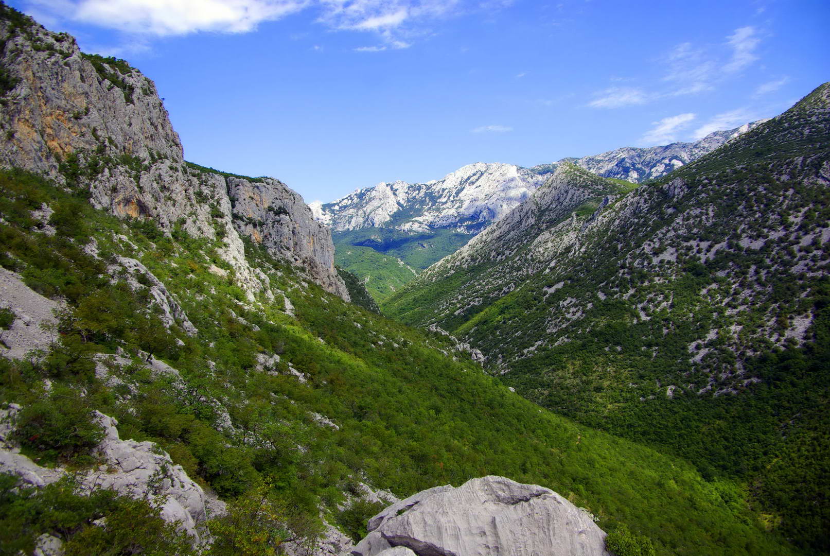
Two dramatic karst canyons cut through the southern slopes of Velebit mountain, creating one of Croatia’s most striking landscapes.
At a glance
Paklenica is a national park defined by its two canyons: Mala (Small) Paklenica and Velika (Big) Paklenica. Both are carved through limestone by underground rivers, forming steep walls and narrow passages that attract climbers, hikers and nature enthusiasts year-round.
History
The canyons were formed over millennia by karst processes—water dissolution of limestone creating underground channels and dramatic surface topography. The region’s strategic position between the Adriatic and Velebit has long made it significant for local communities.
What you see
The two canyons offer contrasting experiences. Velika Paklenica features sheer rock walls rising hundreds of meters, narrow passages, and a flowing river. Mala Paklenica is more intimate, with gentler slopes and accessible trails. Both showcase the raw geology of the Dinaric Alps—exposed limestone strata, underground streams, and forest vegetation clinging to steep cliffs.
Cultural significance
Paklenica represents a vital example of karst geology and Mediterranean wilderness. The park protects rare plant and animal species adapted to limestone terrain, while serving as a living laboratory for geomorphological study. Its dramatic landscape has inspired artists and adventurers for generations.
Key facts
- Location: Near Starigrad, northern Dalmatia; approximately 40 km south of Zadar
- Country: Croatia
- Coordinates: 44.37°N, 15.43°E
- Designation: National Park
- Feature: Two major karst river canyons through Velebit mountain
Practical information & getting there
Paklenica lies on Croatia’s Adriatic coast, accessible from Zadar by road. The park offers marked hiking trails of varying difficulty, climbing routes, and camping facilities. The canyons are open to visitors year-round, though spring and autumn provide the most comfortable conditions for exploration.
Sources & resources
Find it on the map
See this place and what’s around it →
📷 Become a Cultural Heritage Online photographer
Share your photos of places: they stay published under your name as the author. The more they're seen, the more you get noticed — and soon a contest will reward the most appreciated photos.
Log in or sign up free to add a photo