
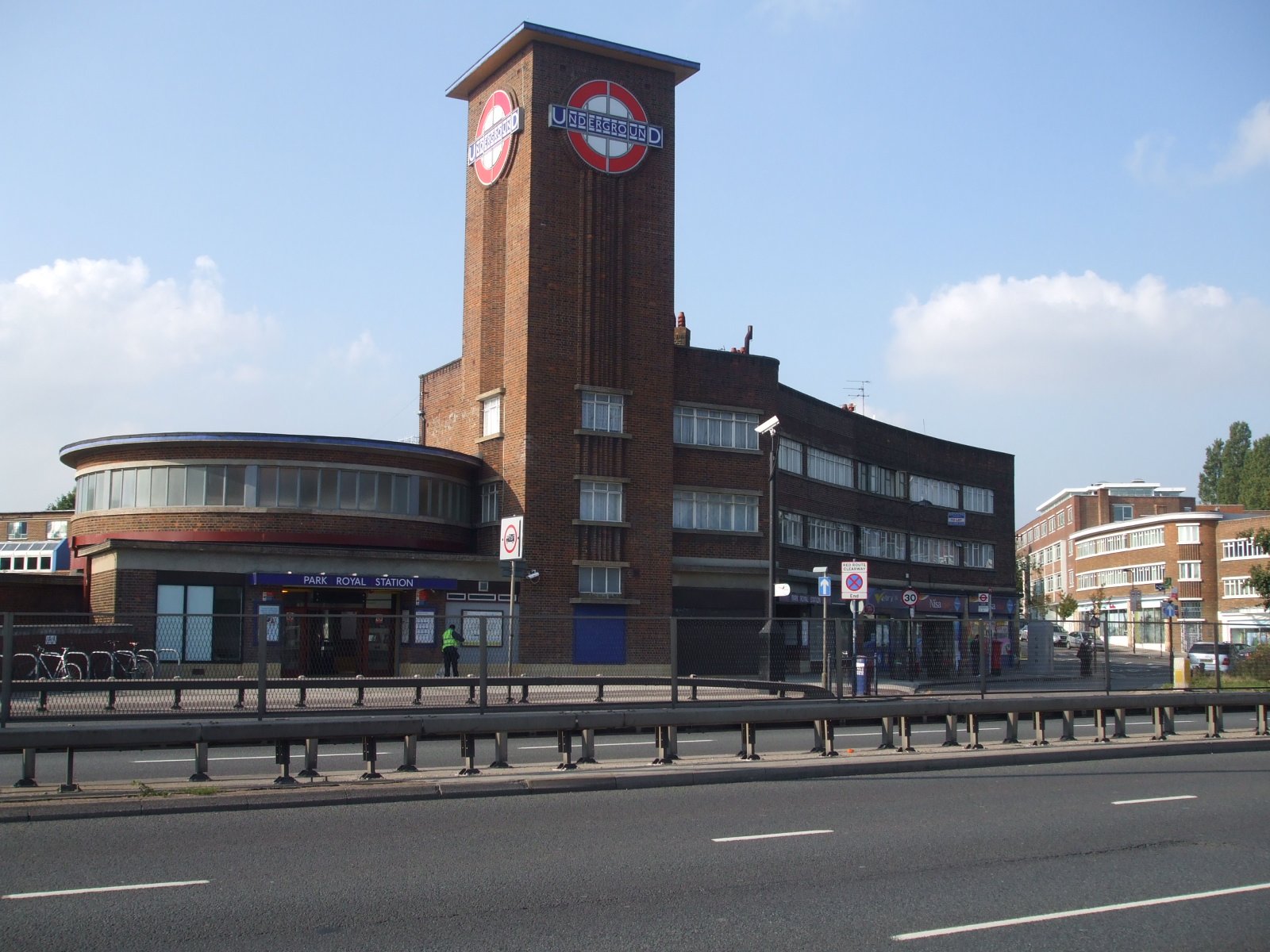
A London Underground station on the Piccadilly line’s Uxbridge branch, Park Royal serves the industrial zone and residential areas of west London from its position straddling the A40 Western Avenue.
At a glance
Park Royal is a working transport interchange in the London Borough of Ealing, situated in fare zone 3. The station lies between Alperton and North Ealing on the Piccadilly line, serving both commuters and industrial workers in the surrounding Park Royal business area.
History
The station was built to serve the expanding industrial and residential development of west London. It has remained an important interchange for the Uxbridge branch of the Piccadilly line since its establishment.
What you see
The station occupies a distinctive position straddling the A40 Western Avenue, with a pedestrian subway running beneath the road to connect the two sides. The platforms themselves are notable for their continuous and significant gradient, sloping upward from south to north—an unusual feature that requires commuters to ascend or descend notably while moving through the station. Park Royal lies within easy walking distance of Hanger Lane station on the Central line, offering dual-line access for interchange passengers.
Cultural significance
As a major transport hub serving London’s industrial Park Royal zone, the station exemplifies mid-20th-century London transport planning. It connects residential Ealing with one of London’s principal business and manufacturing districts.
Key facts
- Country: United Kingdom
- City: London Borough of Ealing
- Line: Piccadilly line (Uxbridge branch)
- Fare zone: 3
- Adjacent stations: Alperton (west), North Ealing (east)
- Coordinates: 51.527°N, 0.284°W
Practical information & getting there
Park Royal is accessed via the Piccadilly line from central London toward Uxbridge. A pedestrian subway beneath Western Avenue (A40) connects both sides of the station. If you require multiline connections, Hanger Lane Central line station is within walking distance. Check Transport for London’s website for current service details and accessibility information.
Sources & resources
Find it on the map
See this place and what’s around it →📷 Become a Cultural Heritage Online photographer
Share your photos of places: they stay published under your name as the author. The more they're seen, the more you get noticed — and soon a contest will reward the most appreciated photos.
Log in or sign up free to add a photoIs this page about you?
This page is read by travellers and heritage enthusiasts who find it on Google. Tell us how you are connected to this place and we will take it from there.