
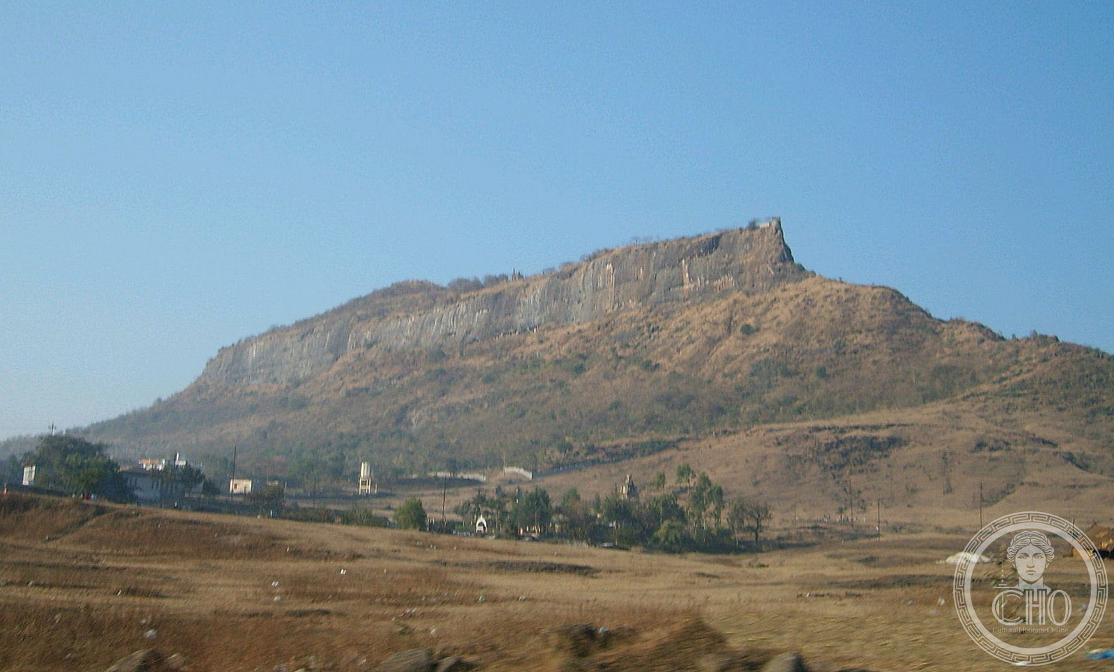
Twelve interconnected forts across the Deccan plateau and coastal regions reveal the military strategy and architectural ambition of the Maratha empire at its height.
At a glance
A UNESCO World Heritage Site comprising twelve forts—eleven in Maharashtra and one in Tamil Nadu—that document three centuries of Maratha power. Built and occupied between the 17th and 19th centuries, these strongholds shaped the region’s political landscape.
History
The Maratha empire rose to prominence in the Deccan during the 17th century, establishing a network of fortified positions to consolidate control and defend against rival powers. Each fort served strategic purposes—some commanding trade routes, others anchoring coastal defenses or providing refuge in hill terrain. Across nearly 250 years of occupation and development, Maratha rulers adapted these structures to evolving military technology and administrative needs.
What you see
The twelve forts—Salher, Shivneri, Lohagad, Khanderi, Raigad, Rajgad, Pratapgad, Suvarnadurg, Panhala, Vijaydurg, Sindhudurg, and Gingee—occupy varied landscapes from elevated plateaus to coastal promontories. Their design reflects both practical military engineering and regional building traditions, with ramparts, gateways, and garrison quarters adapted to their surroundings. Collectively, they demonstrate the Marathas’ command of terrain and fortification principles across their empire.
Cultural significance
These forts represent a crucial phase in Indian military history when regional powers reshaped the subcontinent’s political map. The Maratha Military Landscapes document not only defensive strategy but also administrative organization, trade management, and cultural identity. Their recognition as a unified World Heritage Site in 2025 affirms their importance to understanding early modern India.
Key facts
- Twelve forts across Maharashtra and Tamil Nadu
- UNESCO World Heritage Site: 2025
- Period of occupation and development: 17th–19th century
- Coordinates: 20.7225°N, 73.9425°E (approximate center)
Practical information & getting there
The forts are distributed across the Deccan region and coastal areas of western India. Most are accessible from major cities including Pune, Nasik, and Ratnagiri. Individual sites have varying access and preservation conditions; local guides and regional tourism offices can advise on current visiting arrangements and best routes.
Sources & resources
Find it on the map
See this place and what’s around it →📷 Become a Cultural Heritage Online photographer
Share your photos of places: they stay published under your name as the author. The more they're seen, the more you get noticed — and soon a contest will reward the most appreciated photos.
Log in or sign up free to add a photo