
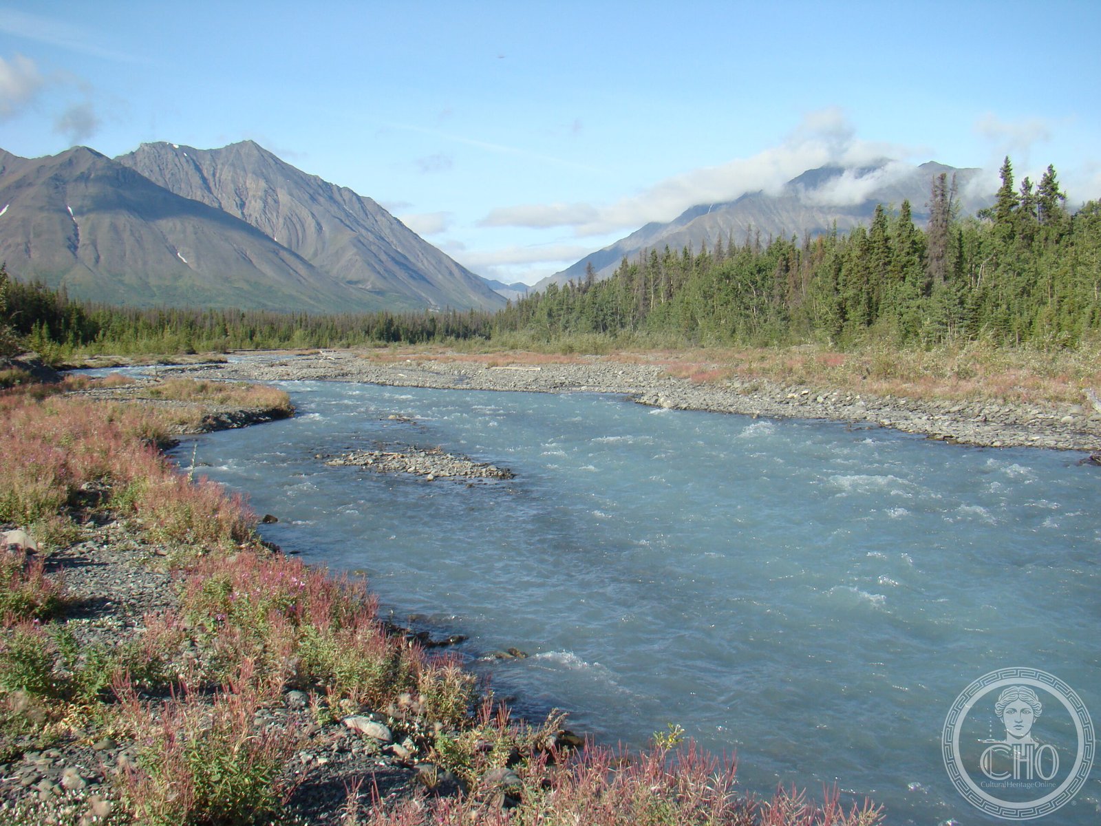
A vast wilderness in Canada’s southwest Yukon, anchored by Mount Logan—the country’s highest peak—and dominated by the dramatic Saint Elias Mountains and their sprawling glaciers.
At a glance
Kluane comprises two distinct protected areas: the National Park, established in 1993 following First Nations land-claim settlement, and the larger Reserve to the west, still pending final agreement. Together they protect over 22,000 square kilometres of alpine and subarctic terrain along Yukon’s borders with British Columbia and Alaska.
History
The National Park Reserve was formally designated in 1972, held pending resolution of Indigenous land claims. In 1993, an agreement with the Champagne and Aishihik First Nations allowed approximately 5,900 square kilometres of the eastern portion to become a fully established national park, administered cooperatively with Parks Canada. The western Reserve continues to await final settlement with the Kluane First Nation.
What you see
Mountains and glaciers define the landscape, occupying 83 percent of the park’s area. Mount Logan dominates the horizon at 5,959 metres—Canada’s tallest summit. Donjek Glacier and other ice fields carve the Saint Elias range into dramatic valleys and ridges. East of the highest peaks, where conditions grow colder and drier, forest and tundra replace alpine terrain. White spruce, balsam poplar, and trembling aspen thrive only at lower elevations.
Cultural significance
Kluane holds profound meaning for the Champagne and Aishihik, and Kluane First Nations, whose traditional territories encompass these lands. The park represents a landmark in Canadian conservation that recognized Indigenous rights and established co-management as a model for protected-area governance in the north.
Key facts
- Country: Canada
- Location: Southwest Yukon, bordering British Columbia and Alaska
- Coordinates: 60.61943, −138.331
- Total protected area: 22,013 square kilometres (8,499 sq mi)
- National Park portion: ~5,900 square kilometres (established 1993)
- Highest point: Mount Logan, 5,959 metres (19,551 ft)
Practical information & getting there
Access is limited; the park remains remote and largely roadless. Most visitors approach from Whitehorse via the Alaska Highway or from Haines, Alaska. Winter closes many routes; summer offers brief climbing and trekking seasons. Contact Parks Canada for current conditions and permits.
Sources & resources
Find it on the map
See this place and what’s around it →📷 Become a Cultural Heritage Online photographer
Share your photos of places: they stay published under your name as the author. The more they're seen, the more you get noticed — and soon a contest will reward the most appreciated photos.
Log in or sign up free to add a photo