
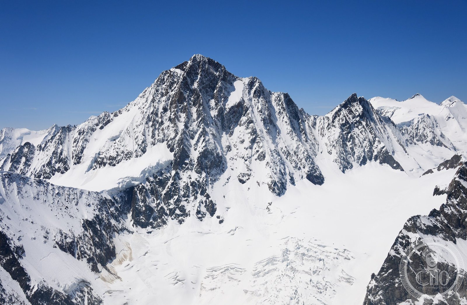
A mountainous sanctuary in the Bernese Alps that encompasses two of Europe’s most iconic peaks and the largest glaciated region in western Eurasia.
At a glance
This protected area spans the border between the cantons of Bern and Valais in south-western Switzerland, occupying the easternmost reaches of the Bernese Alps. It unites dramatic high-altitude terrain—including the northern wall of the Jungfrau and Eiger peaks—with the vast Aletsch Glacier system.
History
The Jungfrau-Aletsch protected area was designated as the first World Natural Heritage site in the Alps in 2001, recognising its global significance as a refuge of pristine alpine and glacial landscapes during a time of rapid environmental change across the continent.
What you see
The landscape pivots around two elements: the dramatic vertical geology of the Jungfrau and Eiger’s northern faces, which expose layers of the Alps’ geological history, and the Aletsch Glacier itself. At roughly 20 kilometres long, this river of ice is western Eurasia’s largest glaciated expanse, with tributary glaciers feeding into its frozen flow. Alpine meadows, rocky moraines, and dark stone ridges complete the composition.
Cultural significance
The site represents an intact alpine ecosystem and serves as a living record of past climate patterns. Its glaciers and high-altitude terrain support botanical and zoological research, while the peaks have long held symbolic importance in European mountaineering culture. The protected area exemplifies conservation efforts to preserve Europe’s remaining wilderness.
Key facts
- Country: Switzerland
- Cantons: Bern and Valais
- UNESCO World Heritage designation: 2001 (first in the Alps)
- Coordinates: 46.5°N, 8.03°E
- Key features: Jungfrau and Eiger peaks; Aletsch Glacier (largest in western Eurasia)
Practical information & getting there
The region is accessible from the Bernese Oberland via Interlaken and Grindelwald. You can reach viewpoints and trails at various altitudes; higher elevations are served by mountain railways and cable cars. Check weather conditions before planning outdoor activities, as alpine conditions change rapidly.
Sources & resources
Find it on the map
See this place and what’s around it →📷 Become a Cultural Heritage Online photographer
Share your photos of places: they stay published under your name as the author. The more they're seen, the more you get noticed — and soon a contest will reward the most appreciated photos.
Log in or sign up free to add a photo