
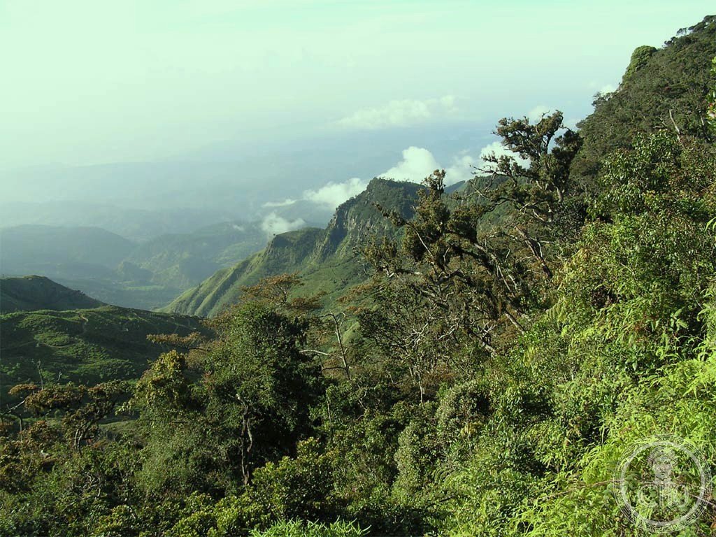
A montane sanctuary at 2,100–2,300 metres in Sri Lanka’s central highlands, where grasslands and cloud forests harbour endemic wildlife and serve as the source of three major rivers.
At a glance
Horton Plains National Park covers 31 km² of plateau landscape known locally as Maha Eliya Plains. The park straddles the island’s highest elevations, creating a distinct ecosystem where temperate conditions support species found nowhere else. Large herds of Sri Lankan sambar deer roam the grasslands, and the region is designated an Important Bird Area for its exceptional avian diversity.
History
Human presence in the Horton Plains dates to the Balangoda culture, evidenced by stone tools recovered from the landscape. The region was formally protected as a national park in 1988, recognising its ecological importance and the need to preserve its unique montane environment and the river systems originating here.
What you see
The park’s defining features are its expansive grasslands interspersed with montane forest, dotted with endemic woody plants adapted to the cool, mist-laden climate. Two principal landmarks punctuate the terrain: World’s End, a dramatic sheer precipice that offers sweeping vistas across the lowlands, and Baker’s Falls, a waterfall accessible to visitors. The vegetation transitions between open moorland and dense cloud forest, creating a landscape of striking contrasts.
Cultural significance
The Horton Plains serve as the hydrological heart of Sri Lanka, functioning as headwaters for the Mahaweli, Kelani, and Walawe rivers—three of the island’s major water systems. The park’s rich endemism, including bird species restricted solely to these plains, underscores its global conservation value. The landscape embodies Sri Lanka’s natural heritage and its capacity to sustain unique biodiversity.
Key facts
- Location: Central highlands, Sri Lanka
- Coordinates: 6.8°N, 80.8°E
- Area: 31 km² (12 sq mi)
- Elevation: 2,100–2,300 m (6,900–7,500 ft)
- Designated: 1988
- Status: Important Bird Area
Practical information & getting there
The park is accessible from the surrounding central highlands region. Forest dieback has emerged as a significant conservation challenge; current research suggests natural causes may underlie this phenomenon. Visitors should prepare for the cool, often misty conditions at altitude and check current conservation advisories before planning a visit.
Sources & resources
Find it on the map
See this place and what’s around it →📷 Become a Cultural Heritage Online photographer
Share your photos of places: they stay published under your name as the author. The more they're seen, the more you get noticed — and soon a contest will reward the most appreciated photos.
Log in or sign up free to add a photo