

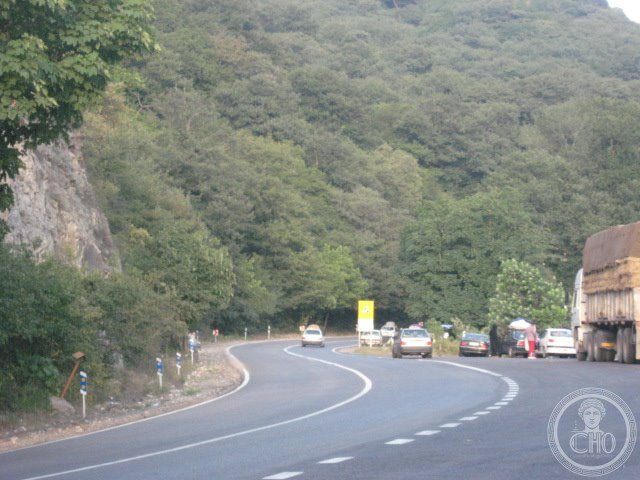
A vast protected landscape spanning nearly 919 square kilometres across Iran’s northeastern frontier, where elevation shifts dramatically from lowland valleys to alpine peaks.
At a glance
Golestan National Park preserves a significant expanse of Iran’s natural heritage. The park encompasses 918.95 km² (354.81 sq mi) across a wide vertical range, from 450 metres to 2,411 metres elevation—a topographical diversity that creates distinct ecological zones and habitats throughout the reserve.
History
The park was established as a protected area to conserve Iran’s northeastern wilderness and its biodiversity. Detailed historical records about its founding and management phases are limited in available sources.
What you see
Rather than built structures, Golestan showcases natural formations shaped by elevation and climate. Visitors encounter steep terrain, forested slopes, mountain passes, and seasonal water systems that vary with altitude and season.
Cultural significance
The park represents Iran’s commitment to nature conservation and forms part of the country’s protected area network. Its location in the northeastern region positions it as a gateway ecosystem between different biogeographic zones.
Key facts
- Country: Iran
- Area: 918.95 km² (354.81 sq mi)
- Elevation range: 450–2,411 metres (1,476–7,910 feet)
- Coordinates: 37.5475° N, 56.3824° E
Practical information & getting there
Access to Golestan National Park requires advance planning. The park’s remote northeastern location and varying terrain mean you should consult current travel advisories and contact Iran’s Department of Environment for entry permits and accessible routes.
Sources & resources
Find it on the map
See this place and what’s around it →
📷 Become a Cultural Heritage Online photographer
Share your photos of places: they stay published under your name as the author. The more they're seen, the more you get noticed — and soon a contest will reward the most appreciated photos.
Log in or sign up free to add a photo