
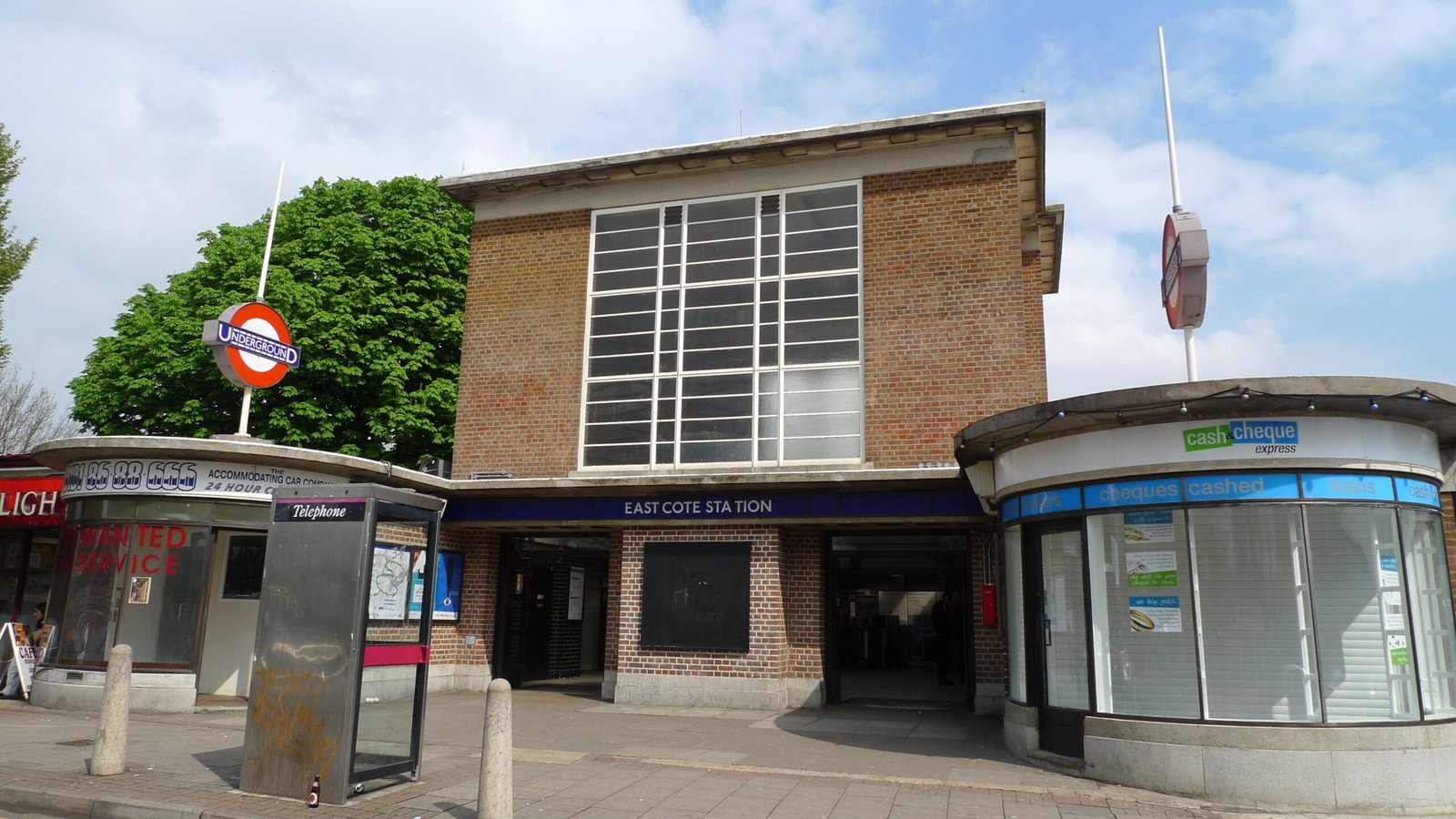
A modernist Underground interchange serving two lines on London’s expanded network, connecting West London to the city centre via the Metropolitan and Piccadilly lines.
At a glance
Eastcote station serves the residential district of Eastcote in the London Borough of Hillingdon. Passengers can interchange between the Metropolitan and Piccadilly lines, both of which share the Uxbridge branch route. The station sits on Field End Road in fare zone 5, the outermost ring of London’s transport pricing system.
History
The station opened as part of London Underground’s expansion into outer West London, serving the growing suburban communities of the 20th century. Its dual-line status reflects the Metropolitan Line’s ambitious network extension and the later addition of the Piccadilly Line service to the same corridor.
What you see
Eastcote reflects the functional design principles of the London Underground’s expansion era. The station provides essential interchange infrastructure between two major lines, with standard platform arrangements and passenger facilities typical of outer-London tube stations.
Cultural significance
Eastcote represents the Underground’s crucial role in shaping suburban London’s development. The dual-line provision enabled efficient transport links and helped establish Eastcote as a accessible residential hub within the metropolitan area.
Key facts
- Country: United Kingdom
- City: London Borough of Hillingdon
- Located: Field End Road
- Coordinates: 51.5767, -0.3969
- Fare zone: 5
- Lines served: Metropolitan and Piccadilly (Uxbridge branches)
- Neighbouring stations: Ruislip Manor, Rayners Lane
Practical information & getting there
You can reach Eastcote by Metropolitan or Piccadilly line trains. The station’s location on Field End Road in zone 5 places it at the outer reaches of central London’s transport network, making it accessible to residents of West London and the Hillingdon area. For current services, timetables and accessibility information, consult TfL’s journey planner.
Sources & resources
Find it on the map
See this place and what’s around it →📷 Become a Cultural Heritage Online photographer
Share your photos of places: they stay published under your name as the author. The more they're seen, the more you get noticed — and soon a contest will reward the most appreciated photos.
Log in or sign up free to add a photoIs this page about you?
This page is read by travellers and heritage enthusiasts who find it on Google. Tell us how you are connected to this place and we will take it from there.