
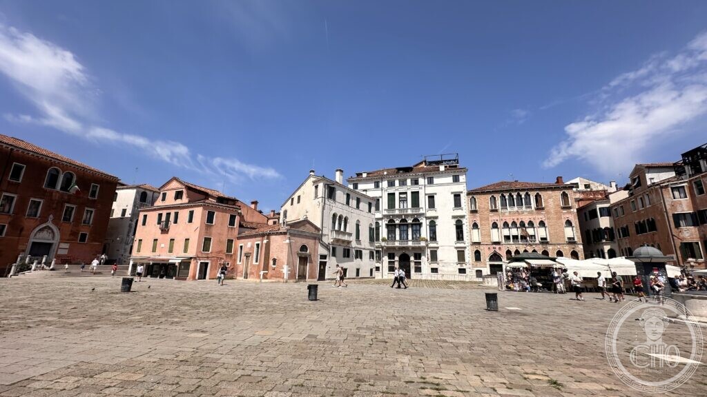
One of the largest open squares in Venice owes its unusual breadth to a church that no longer exists — and to a medieval bell tower whose collapse, in an attempted repair job, killed two monks next door.
At a glance
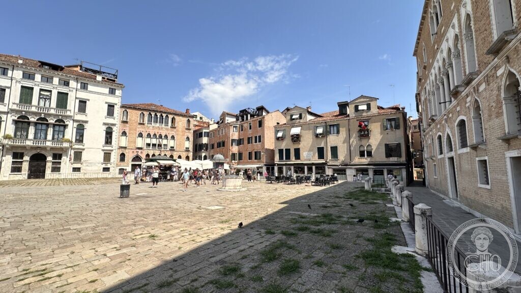
Campo Sant’Angelo (Campo Sant’Anzolo in Venetian) takes its unusually generous size from the demolition, in 1837, of the parish church that once stood on its northern side, dedicated to the Archangel Michael. Two fifteenth-century wellheads, once cisterns for collecting rainwater in a city with no natural aquifer, still stand where they always have. Around the campo, Gothic and Renaissance palace facades — Palazzo Duodo, Palazzo Gritti Morosini and Palazzo Trevisan Pisani among them — look onto a paved expanse that today hosts a small market and, at its south-western edge, drops down to the Rio di Sant’Angelo.
History
Tradition holds that the church was founded in the tenth century by the Morosini family, and rededicated to the Archangel Michael after starting life under another dedication. Destroyed by one of Venice’s periodic fires, it was rebuilt in 1431 with funds left by a priest, Michele Davanzo, restored again in 1631, damaged by a further fire in 1685, and finally closed in 1810 under the Napoleonic suppression of religious houses; it stood empty as a warehouse until its demolition in 1837, which took the bell tower down with it.
That bell tower’s own history is dramatic enough on its own. By the mid-fifteenth century it had begun to lean, and in 1455 the Bolognese engineer Aristotele Fioravanti — later famous as the architect of the Kremlin’s Cathedral of the Dormition in Moscow, where he died in 1486 — was brought in to straighten it. The attempt went wrong: the day after the work was done, the tower came down, taking part of the church with it and crashing into rooms of the neighbouring convent of Santo Stefano, killing two friars. A replacement tower went up the following year, built by Marco de Furi, only to be struck by lightning on 3 July 1487.
The church held one further claim to fame: Titian’s last painting, an unfinished Pietà originally intended for the Frari, was placed here instead after his death, before eventually passing to the Gallerie dell’Accademia, where it remains. Facing the square, Palazzo Duodo — a sober Gothic palace of the fifteenth century — had become a hotel by 1801, the year the composer Domenico Cimarosa died there in exile from the Kingdom of Naples. A plaque set into the paving today marks where the church itself once stood.
What you see
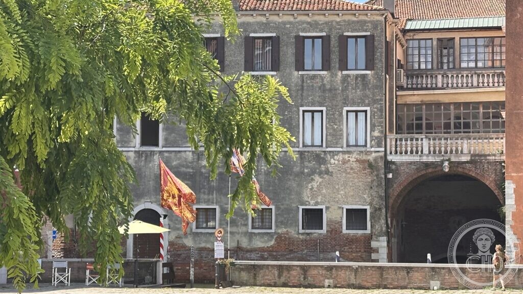
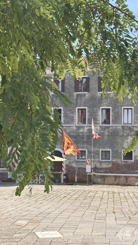
The campo’s scale is the first thing that registers: an irregular, wide expanse rare among Venice’s tightly packed squares, its edges lined with Gothic ogival windows on one side and calmer Renaissance facades on the other. The two vere da pozzo (wellhead curbs) sit slightly raised on their own paved platforms, a reminder that every drop of fresh water in Venice once had to be collected and filtered by hand into cisterns beneath the stone. At the square’s south-western corner, a low archway opens onto the Rio di Sant’Angelo, where mooring poles in the red-and-white colours of a private landing stand in the water below weathered palace facades flying the winged lion of St Mark.
Key facts
- Location: Sestiere San Marco, Venice, on the Rio di Sant’Angelo
- Church: founded traditionally in the 10th century, dedicated to the Archangel Michael, demolished 1837
- Bell tower: collapsed 1455 during a repair by Aristotele Fioravanti, killing two monks; rebuilt 1456; struck by lightning 1487; finally demolished with the church in 1837
- Notable facades: Palazzo Duodo (15th c., where Domenico Cimarosa died in 1801), Palazzo Gritti Morosini, Palazzo Trevisan Pisani
- Wellheads: two, both 15th century
- Coordinates: 45.4342° N, 12.3320° E
Getting there
Campo Sant’Angelo is a short walk from Piazza San Marco or the Accademia Bridge, close to the Sant’Angelo vaporetto stop. Google Maps.
Photo gallery
Sources
- Wikipedia (EN) — Campo Sant’Angelo — coordinates, palaces, demolition date
- Pellizzari Michele — the demolished church of Sant’Angelo — foundation, restorations, Titian’s Pietà
- Best Venice Guides — Campo Sant’Angelo — Palazzo Duodo, Cimarosa, the wellheads
Find it on the map
See this place and what’s around it →📷 Become a Cultural Heritage Online photographer
Share your photos of places: they stay published under your name as the author. The more they're seen, the more you get noticed — and soon a contest will reward the most appreciated photos.
Log in or sign up free to add a photoIs this page about you?
This page is read by travellers and heritage enthusiasts who find it on Google. Tell us how you are connected to this place and we will take it from there.