
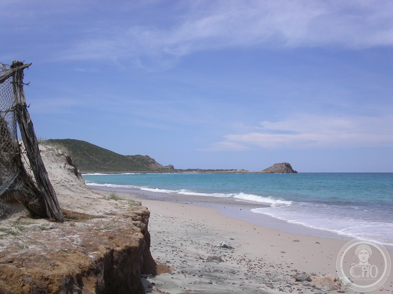
Mexico’s only coastal national marine park protects the oldest coral reef on North America’s Pacific coast, a 20,000-year-old ecosystem now recognized as a global model for marine conservation.
At a glance
Spanning 27 square miles along the eastern coast of the Baja California Peninsula, Cabo Pulmo guards the northernmost coral reef in the eastern Pacific Ocean. Located approximately 100 kilometres north of Cabo San Lucas in the Gulf of California, the park encompasses the waters between Pulmo Point and Los Frailes Cape, hosting eleven coral species and thriving marine biodiversity.
History
Local communities organized to protect this fragile ecosystem, resulting in its designation as a national park in 1995. Recognition followed: UNESCO World Heritage status in 2005 and Ramsar Wetland of International Importance in 2008. The reef itself is estimated to be 20,000 years old, making it the oldest of only three coral reefs on the west coast of North America.
Since protection began, the park has recovered from severe overfishing and become an international exemplar for marine-protected-area governance.
What you see
Hard coral colonies thrive atop rock outcroppings that run parallel to the shore, descending into progressively deeper water. The reef structure supports diverse marine life within one of the planet’s most biodiverse marine zones.
Cultural significance
Cabo Pulmo demonstrates the conservation partnership between local communities and environmental stewardship. Its recovery from ecological collapse has improved both the local ecosystem and regional economic wellbeing, making it a template for sustainable marine resource management across the Americas.
Key facts
- Country: Mexico
- Region: Baja California Peninsula, Gulf of California
- Area: 27 square miles
- Coral species: 11
- Reef age: approximately 20,000 years
- Coordinates: 23.43°N, 109.42°W
- UNESCO World Heritage Site (2005)
- Ramsar Wetland of International Importance (2008)
Practical information & getting there
The park lies on Mexico’s east coast, roughly 100 kilometres north of Cabo San Lucas. Access is by boat from nearby coastal communities. For current visiting conditions, regulations, and marine permits, consult local park authorities or tourism offices in Los Cabos.
Sources & resources
Find it on the map
See this place and what’s around it →📷 Become a Cultural Heritage Online photographer
Share your photos of places: they stay published under your name as the author. The more they're seen, the more you get noticed — and soon a contest will reward the most appreciated photos.
Log in or sign up free to add a photo