
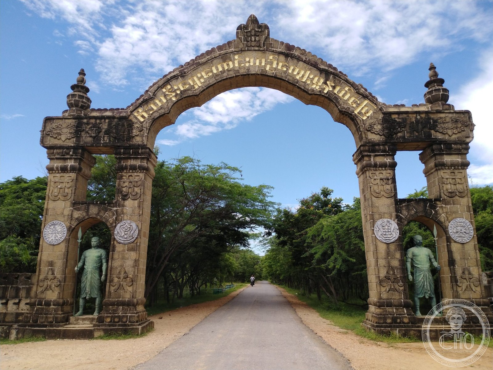
An ancient Pyu city of considerable significance, Beikthano ranks among the oldest scientifically excavated urban sites in Myanmar. Named after the Hindu god Vishnu, this fortified settlement may represent the first capital of a unified Burmese state.
At a glance
Beikthano stands as the oldest urban site discovered and excavated in the Pyu Kingdom, with remains spanning from 200 BCE to 100 CE. The city occupied approximately 300 hectares within rectangular walls measuring 3 kilometres by 1 kilometre. Today a modest village, it attracts visitors for its hot springs and archaeological heritage.
History
During the Pyu city-states era, Beikthano held considerable regional importance, possibly replacing Sri Ksetra as a local capital. The city flourished as a large fortified settlement between the 3rd century BCE and early 1st century CE. Its walls and fortifications, measuring six metres thick, are radiocarbon dated to between 180 BCE and 610 CE.
Beikthano’s strategic position provided direct land access to the well-watered Kyaukse plains to its northeast, within the irrigated dry zone of the Ayeyawady River basin. In May 2014, UNESCO inscribed Beikthano alongside Hanlin and Sri Ksetra on its World Heritage List, recognizing their archaeological significance spanning more than 1,000 years.
What you see
The site preserves a rectangular fortified city plan with the main entrance aligned to the palace, which faced east. Excavations have revealed structures, pottery, and artefacts from the settlement’s occupation period. Within the city walls, archaeologists have uncovered stupas and monastic buildings, indicating both civic and religious functions.
Human skeletal remains discovered at Beikthano provide anthropological evidence of the city’s inhabitants. The thick defensive walls dominate the landscape, standing as testimony to the settlement’s fortified status.
Cultural significance
Named after the Hindu god Vishnu, Beikthano may represent the first capital of a culturally and politically uniform state in Burmese history. The city exemplifies Pyu urban planning and engineering, particularly their mastery of irrigation agriculture in the dry zone. Its archaeological record offers invaluable insight into early Burmese civilization and the transition from settlement to organized state.
Key facts
- Country: Myanmar
- Region: Magway, near Taungdwingyi
- Coordinates: 20.00°N, 95.38°E
- Area: c. 300 hectares
- Period: 200 BCE–900 CE
- UNESCO World Heritage Site (inscribed 2014)
Practical information & getting there
Beikthano is located in the Magway Region near the town of Taungdwingyi. The site is accessible by land from Yangon or Mandalay via highway routes through central Myanmar. Consult current travel advisories and local guides before planning a visit, as conditions and accessibility can vary.
Sources & resources
Find it on the map
See this place and what’s around it →📷 Become a Cultural Heritage Online photographer
Share your photos of places: they stay published under your name as the author. The more they're seen, the more you get noticed — and soon a contest will reward the most appreciated photos.
Log in or sign up free to add a photoIs this page about you?
This page is read by travellers and heritage enthusiasts who find it on Google. Tell us how you are connected to this place and we will take it from there.