
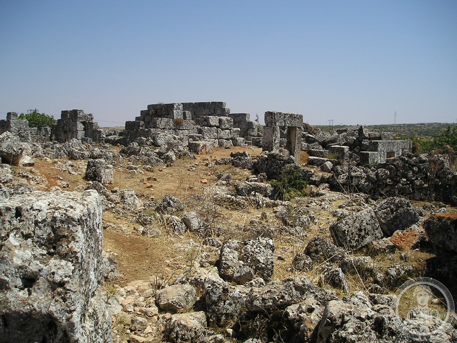
A former “Dead City” in the Zawiya Mountain region, Bara stands as a testament to the settlement patterns and daily life of Syria’s historic communities.
At a glance
Bara sits approximately 65 kilometres north of Hama and 80 kilometres southwest of Aleppo, occupying a strategic position in northwestern Syria’s mountainous terrain. The settlement is today part of Ariha district.
History
Bara was once among Syria’s “Dead Cities”—a designation for the region’s ancient and medieval settlements. According to the Syria Central Bureau of Statistics, the town recorded a population of 10,353 in the 2004 census. The community remains predominantly Sunni Muslim.
What you see
Information about the architectural character and structures of Bara is limited in available sources. Visitors should research current conditions before planning a visit.
Cultural significance
As one of Syria’s “Dead Cities,” Bara represents an important chapter in the region’s settlement history, offering insight into the patterns of habitation and social organization across the Zawiya Mountain landscape.
Key facts
- Country: Syria
- Coordinates: 35°41’00.0″N 36°32’00.0″E
- Location: Zawiya Mountain, Ariha district
- Distance from Hama: 65 km north
- Distance from Aleppo: 80 km southwest
- 2004 Population: 10,353
Practical information & getting there
Bara is accessible from Hama to the south and Aleppo to the northeast. Before planning a visit, verify current safety conditions and accessibility, as the region has experienced significant disruption in recent years.
Sources & resources
Find it on the map
See this place and what’s around it →📷 Become a Cultural Heritage Online photographer
Share your photos of places: they stay published under your name as the author. The more they're seen, the more you get noticed — and soon a contest will reward the most appreciated photos.
Log in or sign up free to add a photoIs this page about you?
This page is read by travellers and heritage enthusiasts who find it on Google. Tell us how you are connected to this place and we will take it from there.