
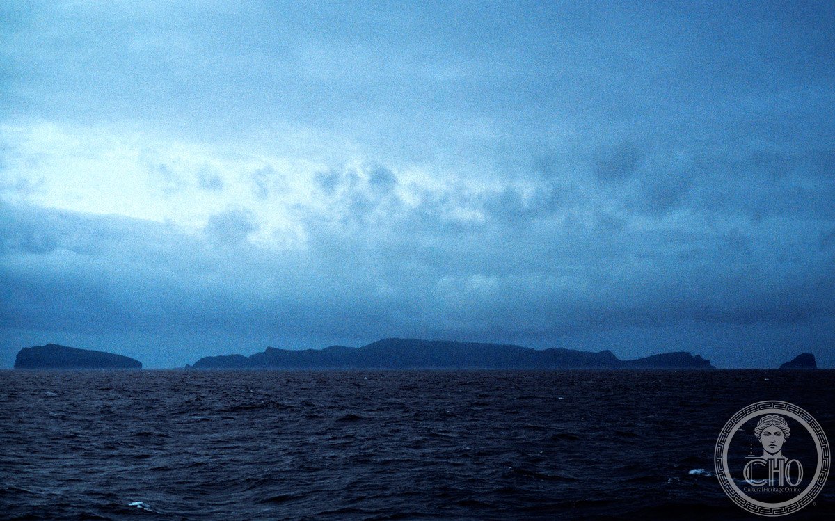
A remote volcanic archipelago in the Southern Ocean, these windswept islands rank among Earth’s most inhospitable inhabited lands—yet their isolation has preserved a unique subantarctic ecosystem of global significance.
At a glance
The Antipodes Islands are an uninhabited volcanic archipelago covering 21 square kilometres, located 860 kilometres southeast of Stewart Island in New Zealand’s territorial waters. The group comprises one main island, Antipodes Island (20 km²), the smaller Bollons Island to the north, and numerous small islets and rock stacks. These islands rank as the southeasternmost point of land in the world outside Antarctica.
History
The Māori name Moutere Mahue translates as “Abandoned Island,” reflecting the islands’ extreme remoteness and their historical lack of human settlement. The archipelago has remained virtually untouched by permanent habitation since European discovery, its harsh climate and isolation making sustained occupation impossible.
What you see
The islands’ landscape is defined by their volcanic origins and subantarctic conditions. Windswept terrain, rocky shores, and sparse vegetation characterize the environment. The architectural heritage is minimal; what remains are natural formations shaped by millions of years of geological activity and relentless ocean exposure.
Cultural significance
The Antipodes Islands hold profound ecological and conservation value. Inscribed on the UNESCO World Heritage List alongside other subantarctic New Zealand islands, they form part of the Antipodes Subantarctic Islands tundra ecoregion—a globally important habitat for seabirds, seals, and other Southern Ocean fauna. The islands’ isolation has allowed unique species assemblages to evolve, making them irreplaceable for scientific study and biodiversity conservation.
Key facts
- Country: New Zealand
- Coordinates: 49°41′S, 178°47′E
- Area: 21 km² (8.1 sq mi)
- Main island: Antipodes Island (20 km²)
- Distance from Stewart Island: 860 km southeast
- UNESCO World Heritage List status: Inscribed as part of subantarctic New Zealand islands
- Designation: Nature reserve; public access by permit only
- Status: Area Outside Territorial Authority
Practical information & getting there
The Antipodes Islands are accessible only by ocean voyage from New Zealand, typically requiring several days of sea travel from the mainland. Public access is restricted and requires a permit; visitation is limited to researchers and specialized expeditions. The extreme weather, dangerous waters, and lack of facilities mean these islands remain the preserve of dedicated naturalists and scientists. There are no permanent settlements, accommodation, or services on the islands themselves.
Sources & resources
Find it on the map
See this place and what’s around it →📷 Become a Cultural Heritage Online photographer
Share your photos of places: they stay published under your name as the author. The more they're seen, the more you get noticed — and soon a contest will reward the most appreciated photos.
Log in or sign up free to add a photo