

Curated Itinerary
The Airship Route to the Pole — Vadsø and Ny-Ålesund (1926–1928)
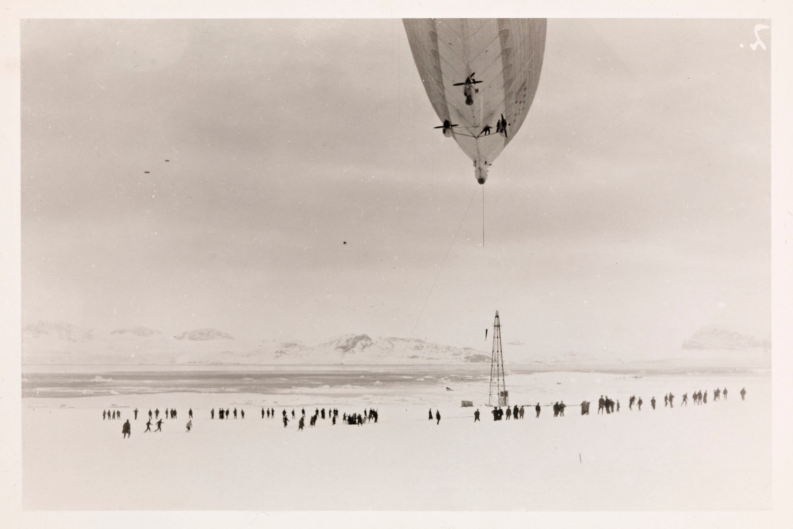
Two stops, two steel masts, and eleven hundred kilometres of open Arctic between them — which is why this page does not pretend to be a route. Both airships that flew north from Europe used the same corridor. At Vadsø, on the island of Vadsøya, the red mooring mast still stands: the last mainland anchorage, where the Norge moored in May 1926 and the Italia in May 1928. The second mast is at Ny-Ålesund, in Kings Bay on Svalbard, at 79° North. The Norge left from it on 11 May 1926 for the first verified journey to the North Pole; the Italia was based there before the flight of 1928 from which it did not return. Two pieces of engineering left standing where almost nobody passes, marking an attempt that succeeded once and ended in disaster when it was repeated.
Take this route into Google Maps
From Airship Mooring Mast, Vadsø (Norge 1926 · Italia 1928) to Airship Mooring Mast, Ny-Ålesund (Kings Bay), Svalbard, in the order we curated them.
➤ Open the stops in Google MapsThese places are spread over thousands of kilometres, and Google will not always join them into one route. It opens with the stops loaded in our order: from there pick two that are close to each other, choose how you travel, and add places of your own. For a single leg, the directions on each stop's own page work better.
Two stops across the European Arctic on the route both polar airships flew: the mooring mast at Vadsø, their last mainland anchorage, and the mast at Ny-Ålesund on Svalbard, from which the Norge left for the first verified journey to the North Pole in May 1926 and the Italia for its fatal flight of 1928. Read the full story in the dedicated article North by Airship: the Norge, the Italia and the Route to the Pole.
Step by step
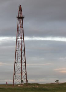
Airship Mooring Mast, Vadsø (Norge 1926 · Italia 1928)
The red steel mast on Vadsøya island where Nobile's airships moored on their way to the North Pole: the Norge in May 1926, the Italia in May 1928.
Airship Mooring Mast, Ny-Ålesund (Kings Bay), Svalbard
The steel mast at 79° North from which the Norge left on 11 May 1926 for the first verified journey to the North Pole, and where the Italia based…
Download for tour navigation
PDF is the stop list with GPS, to print or keep on the phone. GPX for Garmin / Komoot / OsmAnd. KML for Google Earth and Maps.
Walk it with the navigator on
These places are spread over thousands of kilometres, and Google will not always join them into one route. It opens with the stops loaded in our order: from there pick two that are close to each other, choose how you travel, and add places of your own. For a single leg, the directions on each stop's own page work better.
To keep the route in the app instead of opening it once, download the KML above and import it into Google My Maps — Create a new map, then Import: the route then sits among your own maps in Google Maps, with the stops and our notes attached to each one.