

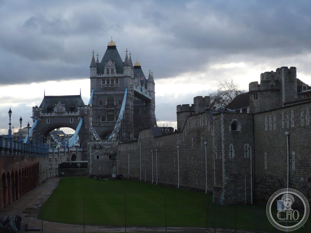
A combined bascule and suspension bridge over the River Thames, opened in 1894 to relieve congestion on London Bridge and still in use today.
At a glance
Tower Bridge stands between the boroughs of Tower Hamlets and Southwark, linking the north and south banks of the Thames just east of the Tower of London. It was the largest bascule bridge in the world when completed, and the original raising machinery was powered by steam until 1976. Both its official website and the London Museum describe it as one of London’s defining landmarks.
Key facts
- Where: Tower Bridge Road area, London SE1 2LY, United Kingdom
- What: Bridge
- When: 1886–1894
- GPS: 51.5058, -0.0753 · Open in Google Maps
History
The bridge was built between 1886 and 1894. The architect was Horace Jones, who had also designed Smithfield Market for the City of London, and the engineer was John Wolfe Barry. Construction cost more than £1 million. It was officially opened in June 1894, with the Prince of Wales presiding in place of Queen Victoria. In its first full year the bridge opened around 17 times a day; today it opens around twice a day. In 1952 the number 78 bus was caught on one rising bascule, and its driver, Albert Gunter, accelerated and jumped the vehicle onto the north bascule that had not begun to open. All 20 passengers walked away with no injuries.
What you see
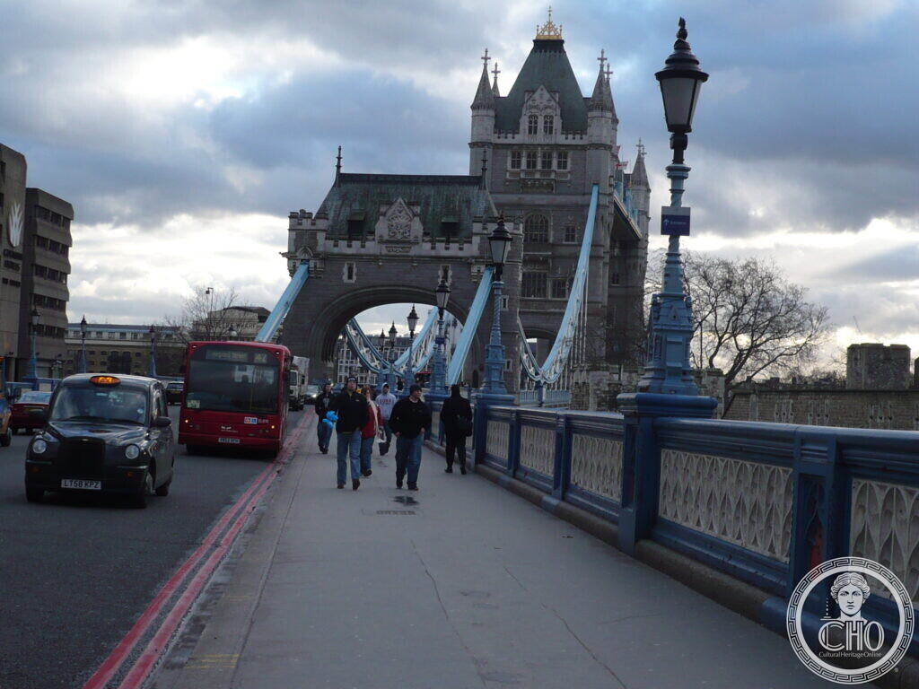
The first photograph shows the bridge from the grounds of the Tower of London, with green lawn and medieval stone walls in the foreground. The Gothic-style towers and turrets were designed to complement the 11th-century White Tower on the north bank. The second photograph, taken at street level, shows the blue suspension chains, ornate lamp posts, and the roadway carrying traffic and pedestrians between the towers. The road section between the towers rises on bascules, a French word for seesaw. The high-level walkways run 61 metres across and stand 42 metres above the river.
Do you know more about this place?
If you know a date, a name, a document, a plaque or a photograph that tells its story, write to Sofia through the contact page. What arrives with a source goes into this page, with your name as the contributor.
Nearby
- Tower Bridge — the same bridge, already in our collection
Gallery
Sources
- London Museum, Tower Bridge: construction dates, architects, cost, opening date, bridge mechanism, 1952 bus jump, opening frequency
- Tower Bridge, Explore inside Tower Bridge: visitable areas inside the bridge, completion date of 1894
- Social Pantry, Hire Tower Bridge: The High Level Walkways: walkway dimensions and height, designers’ names and titles
- OpenStreetMap, Way: Tower Bridge: postal address and coordinates
- Stefano Vigolo, photographs and notes to the editorial staff (2026): identification of the subject and location. Not a published source
Find it on the map
See this place and what’s around it →📷 Become a Cultural Heritage Online photographer
Share your photos of places: they stay published under your name as the author. The more they're seen, the more you get noticed — and soon a contest will reward the most appreciated photos.
Log in or sign up free to add a photo