

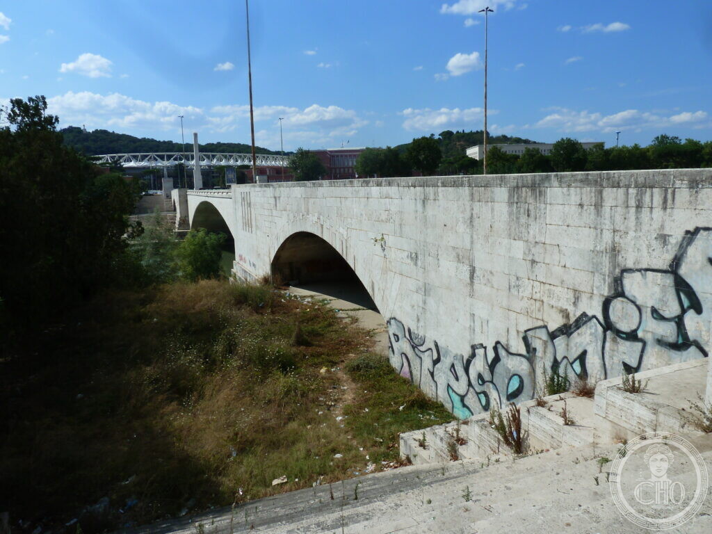
A reinforced concrete bridge over the Tiber in Rome, built to connect the Flaminio district with the Foro Italico sports complex.
At a glance
The bridge stands between Lungotevere Grande Ammiraglio Thaon di Revel and Piazza Lauro de Bosis. It is described in sources as a monumental entrance to the Foro Italico, built in travertine-clad reinforced concrete. The structure carries a wide road over the river, with a central arch spanning the water.
Key facts
- Where: Lungotevere Grande Ammiraglio Thaon di Revel, Rome
- What: Bridge
- When: 1939
- GPS: 41.9312, 12.4605 · Open in Google Maps
History
The first documented idea for a bridge here came from the architect Enrico Del Debbio’s 1927 project for the Foro Mussolini, now the Foro Italico. In May 1935 the Ministero dei Lavori Pubblici held a competition-appalto for the design and construction. Among 18 projects, the one by architect Vincenzo Fasolo won. Works began on 21 June 1936. Structural testing took place on 4 March 1939, and the bridge went into operation on 26 March 1939. The structure is 222 metres long and 30 metres wide. It has three lowered arches; the central one measures 100 metres, and the side ones are 25 metres each. At the four corners at street level, marble pillars display high-reliefs by sculptors Ercole Drei, Domenico Ponzi, Oddo Aliventi and Vico Consorti. The reliefs show scenes from the First World War connected to the rivers Sile, Piave, Tagliamento and Isonzo, and the actions of the Third Army of Duke Emanuele Filiberto of Savoy-Aosta. Before the bridge existed, the area was known for the fiumaroli, people who frequented the bathhouses then in vogue and performed daring feats in the water.
What you see
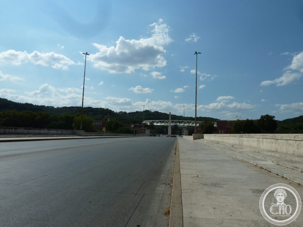
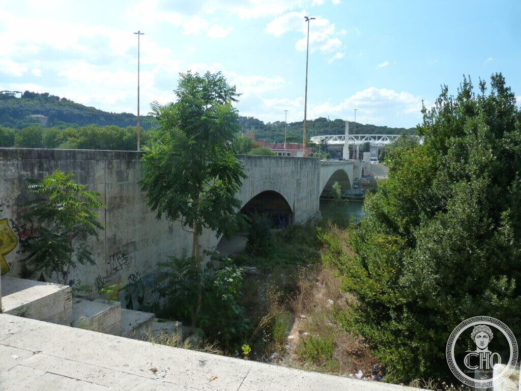
The first photograph shows a side view of the massive concrete bridge. Two arches span a dry, overgrown channel, and the abutment wall carries large graffiti tags. The second photograph looks along a wide, empty asphalt road towards the bridge in the distance, with the steel and white structure visible under a bright sky. The third photograph looks past a concrete wall and trees towards the bridge; the wall is covered in graffiti, and a more distant steel truss bridge appears in the background. The images show the bridge still in use by road traffic.
Do you know more about this place?
If you know a date, a name, a document, a plaque or a photograph that tells its story, write to Sofia through the contact page. What arrives with a source goes into this page, with your name as the contributor.
Nearby
- University of Rome Foro Italico — a short walk from the bridge
- CONI – Headquarters – Academy of Physical Education — a short walk from the bridge
- The library of the Institute of Administrative Studies in Rome — a short walk from the bridge
Gallery
Sources
- Turismo Roma, Ponte Duca d’Aosta | Turismo Roma: design, construction, dimensions, reliefs and historical context
- Info.Roma.it, ▷ Ponte Duca d’Aosta, Roma: competition details, opening day and structural testing
- Anna Zelli, Ponte Duca d’Aosta, Roma: additional description of the bridge and its setting
- Stefano Vigolo, photographs and notes to the editorial staff (2026): identification of the subject. Not a published source
Find it on the map
See this place and what’s around it →📷 Become a Cultural Heritage Online photographer
Share your photos of places: they stay published under your name as the author. The more they're seen, the more you get noticed — and soon a contest will reward the most appreciated photos.
Log in or sign up free to add a photo