
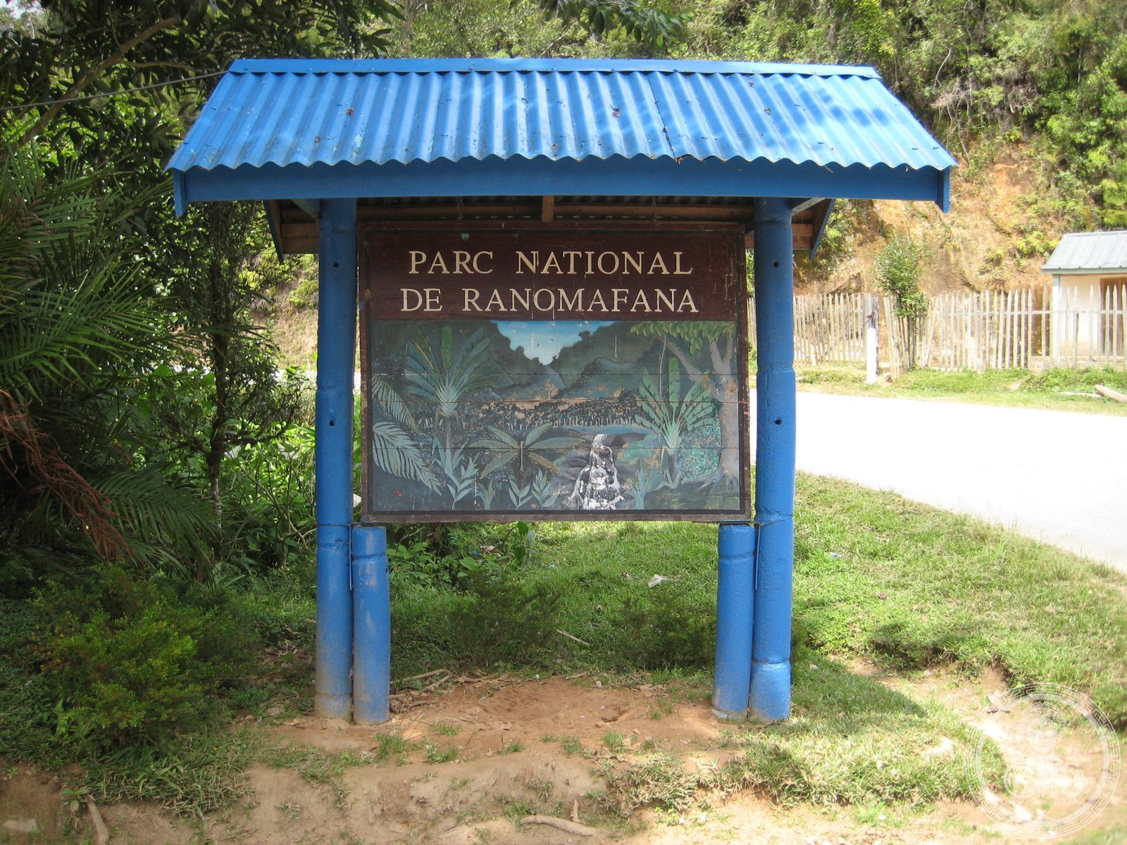
A tropical rainforest sanctuary in southeastern Madagascar, established to protect rare lemur species and created through groundbreaking primatological discovery.
At a glance
Ranomafana National Park encompasses more than 41,600 hectares of montane tropical rainforest across the Haute Matsiatra and Vatovavy regions. Elevations range from 800 to 1,200 metres, creating distinct ecological zones within the protected area. The park shelters several rare plant and animal species found nowhere else on Earth.
History
The park was established in 1991 as Madagascar’s fourth national park, following two landmark discoveries by primatologist Dr. Patricia Wright: the rediscovery of the greater bamboo lemur and the discovery of the golden bamboo lemur. These findings fundamentally shifted conservation priorities for the region. The Centre ValBio research station was established adjacent to the park in 2003 by Stony Brook University, dedicating itself to biodiversity research, community health, education, environmental arts, and reforestation efforts.
What you see
The park protects intact montane rainforest at elevations between 800 and 1,200 metres. Visitors encounter dense vegetation, cascading streams, and the characteristic plant diversity of Madagascar’s humid eastern forests. The nearby town of Ranomafana features thermal springs, from which the park takes its Malagasy name—rano mafana, meaning “hot water.”
Cultural significance
Ranomafana represents a critical conservation milestone in Madagascar’s natural heritage. The park’s establishment demonstrates how scientific research can drive preservation efforts; the twin lemur discoveries catalysed international support for forest protection. It was later incorporated into the UNESCO World Heritage Site Rainforests of the Atsinanana, recognising its global ecological importance. The Centre ValBio has become a model for combining scientific research with community engagement and environmental education in tropical regions.
Key facts
- Country: Madagascar
- Region: Haute Matsiatra and Vatovavy
- Area: 41,600+ hectares (161 square miles)
- Elevation: 800–1,200 metres
- Established: 1991
- UNESCO World Heritage Site: Rainforests of the Atsinanana
- Coordinates: −21.217°, 47.417°
Practical information & getting there
The park is located in southeastern Madagascar within the Haute Matsiatra and Vatovavy regions. Centre ValBio operates as the primary research and educational facility adjacent to the park. For current visiting conditions, scientific programmes, and accommodation details, consult official park management resources or contact Centre ValBio through Stony Brook University.
Sources & resources
Find it on the map
See this place and what’s around it →📷 Become a Cultural Heritage Online photographer
Share your photos of places: they stay published under your name as the author. The more they're seen, the more you get noticed — and soon a contest will reward the most appreciated photos.
Log in or sign up free to add a photo