
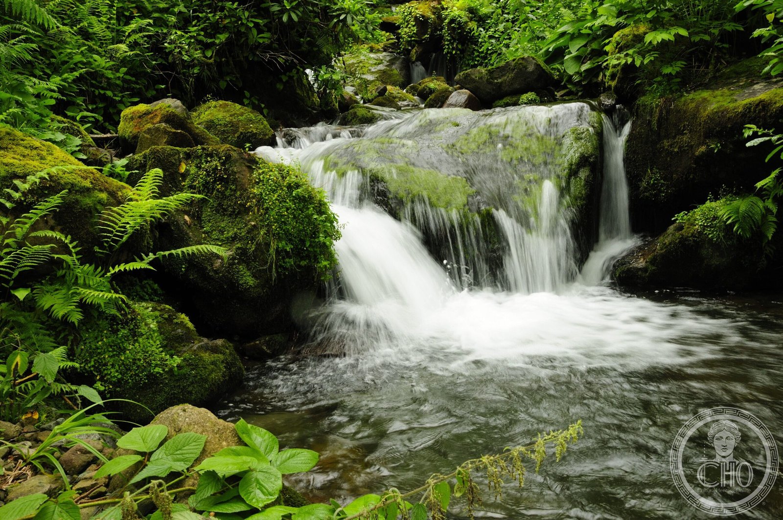
A sprawling protected landscape in Georgia’s Lesser Caucasus, Mtirala preserves one of the world’s rare relict forests and hosts extraordinary wetland ecosystems where the mountains meet the Black Sea.
At a glance
Mtirala National Park encompasses approximately 15,698 hectares across three municipalities—Kobuleti, Khelvachauri, and Keda—in the Adjara region of western Georgia. The name means “to cry” in Georgian, a poetic reference to the region’s exceptional rainfall and moisture-rich environment. The park occupies the transitional zone between the Black Sea coast and the Adjara Mountains, adjoining the Kintrishi National Park to the east.
History
Previously known as Tsiskara Reserve, the area was formally established as Mtirala National Park to protect its irreplaceable ecosystems. In 2021, UNESCO recognized the park’s global significance by inscribing it on the World Heritage List as part of the larger Colchic Rainforests and Wetlands designation—acknowledging the site’s role in preserving ancient forest types and wetland habitats that have survived millennia.
What you see
Rather than built structures, Mtirala’s heritage lies in its living landscape. Visitors encounter dense relict forests—remnants of prehistoric woodland communities—interspersed with diverse wetland environments. The park’s topography ranges from coastal lowlands to mountain terrain, creating a mosaic of habitats shaped by high precipitation and specific microclimates.
Cultural significance
Mtirala represents a crucial refuge for biodiversity and a living archive of ecological systems dating back thousands of years. The relict forests contain plant and animal species found nowhere else, while the wetlands support migratory birds and specialized wetland species. For Georgia, the park exemplifies the country’s commitment to preserving natural heritage and maintaining ecological corridors across the Caucasus.
Key facts
- Country: Georgia
- Region: Adjara, Western Georgia
- Area: Approximately 15,698 hectares (38,790 acres)
- Municipalities: Kobuleti, Khelvachauri, Keda
- UNESCO World Heritage designation: 2021 (Colchic Rainforests and Wetlands)
- Coordinates: 41.6975°N, 41.8895°E
Practical information & getting there
The park is located in southwestern Georgia, between the Black Sea and the mountains. Access is typically arranged through the nearby towns of Sarpi, Khelvachauri, or Keda. For current opening hours, guided tour availability, and specific access routes, consult the Georgia tourism authority or contact local park offices in Adjara. The high rainfall makes waterproof gear advisable year-round.
Sources & resources
Find it on the map
See this place and what’s around it →📷 Become a Cultural Heritage Online photographer
Share your photos of places: they stay published under your name as the author. The more they're seen, the more you get noticed — and soon a contest will reward the most appreciated photos.
Log in or sign up free to add a photo