
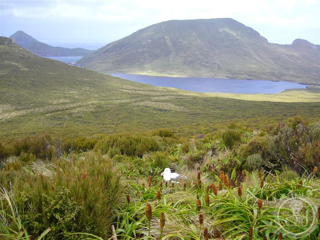
An uninhabited subantarctic island 660 kilometres south of New Zealand’s South Island, Campbell Island is a mountainous wilderness of fiords, stacks and seabird colonies—protected as a nature reserve and UNESCO World Heritage Site.
At a glance
Campbell Island, or Motu Ihupuku in Māori, dominates a small archipelago in the Southern Ocean. The main island spans 112.68 square kilometres and rises above 500 metres at its southern peaks. A dramatic fiord, Perseverance Harbour, cuts deep into its eastern coast. The island and its surrounding stacks and islets remain largely untouched by permanent human settlement.
History
Campbell Island was gazetted as a nature reserve in 1954, formally protecting its fragile subantarctic ecosystem. In 1998, it gained UNESCO World Heritage status as part of the New Zealand Subantarctic Islands designation, recognising its global conservation importance. The island holds geographical distinction as the closest land to the antipodal point of the United Kingdom and Ireland.
What you see
The island’s landscape is defined by rugged terrain and mountainous topography. Perseverance Harbour, a long fiord opening eastward, nearly bisects the island and provides one of the few sheltered anchorages in the region. Surrounding Campbell Island are numerous smaller formations—Dent Island, Folly Island, Isle de Jeanette-Marie, and Jacquemart Island, the southernmost point of New Zealand.
Cultural significance
Campbell Island represents an intact subantarctic wilderness of international ecological importance. Its isolation has preserved unique plant and animal communities found nowhere else on Earth. The island serves as a vital breeding ground for seabirds and marine mammals, making it crucial for understanding Southern Ocean biodiversity and conservation.
Key facts
- Location: New Zealand Outlying Islands, 660 km south of South Island
- Area: 112.68 square kilometres (main island)
- Highest point: over 500 metres
- Status: UNESCO World Heritage Site (1998); New Zealand nature reserve (1954)
- Coordinates: 52°32′14.8″S 169°10′41.9″E
- Designation: Area Outside Territorial Authority
Practical information & getting there
Campbell Island is uninhabited and remote, accessible only by specialist expedition vessels. The Southern Ocean crossing from New Zealand’s South Island requires sea-going experience and equipment. Visits are strictly regulated to protect the fragile ecosystem. You should check with conservation authorities and expedition operators for current access conditions and any landing restrictions.
Sources & resources
Find it on the map
See this place and what’s around it →📷 Become a Cultural Heritage Online photographer
Share your photos of places: they stay published under your name as the author. The more they're seen, the more you get noticed — and soon a contest will reward the most appreciated photos.
Log in or sign up free to add a photo