
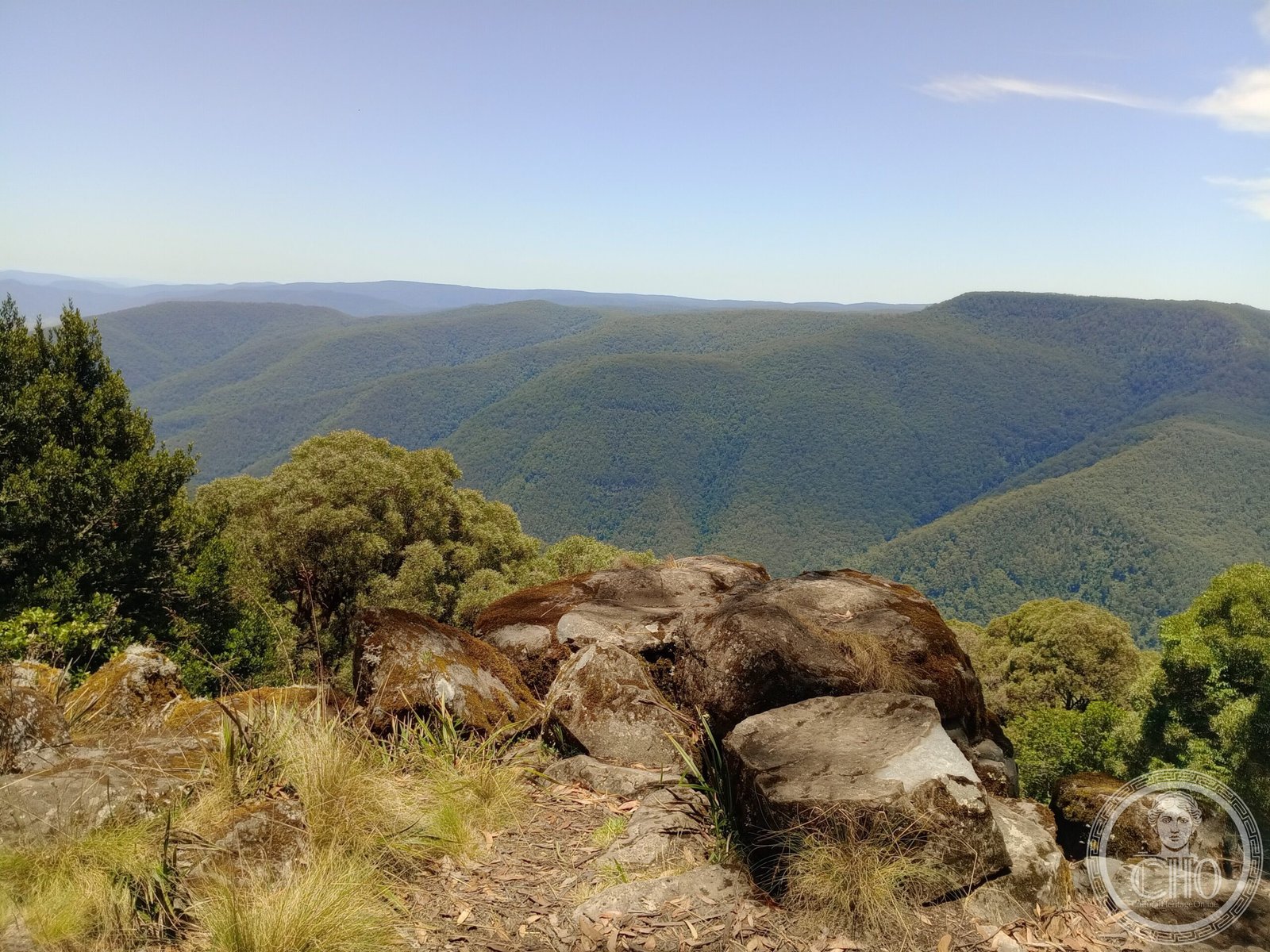
A 76,512-hectare protected wilderness in New South Wales, Barrington Tops preserves subtropical and temperate rainforest ecosystems within Australia’s Gondwana Rainforests World Heritage Site.
At a glance
Barrington Tops National Park encompasses rugged terrain between five towns: Scone, Singleton, Dungog, Gloucester and East Gresford. The park combines high plateau country with deep valleys, creating distinct microclimates and habitats. Its forests represent remnants of ancient Gondwanan vegetation found nowhere else on Earth.
History
The park was gazetted in 1969, formally protecting this section of the Hunter Valley landscape. In 1986, Barrington Tops became part of the Gondwana Rainforests of Australia, a World Heritage Site recognising the global significance of its prehistoric plant and animal communities. The site was added to the Australian National Heritage List in 2007.
What you see
Rather than built structures, Barrington Tops showcases dramatic natural architecture—elevated plateaus, steep gorges, and multi-layered forest canopy. Subtropical rainforest flourishes in sheltered valleys alongside temperate forest on higher elevations. Waterfalls, mountain streams and diverse flora create visually distinctive zones within the park.
Cultural significance
Barrington Tops holds international ecological importance as part of a World Heritage Site protecting relict rainforests with ancestry tracing to the supercontinent Gondwana. The park is designated an Important Bird Area alongside Gloucester Tops, supporting avian species found across the broader region. Its conservation status reflects Australia’s commitment to preserving ancient natural systems.
Key facts
- Location: Hunter Valley, New South Wales, Australia
- Area: 76,512 hectares (189,070 acres)
- Gazetted: 1969
- World Heritage Site: Gondwana Rainforests of Australia (inscribed 1986)
- Australian National Heritage List: added 2007
- Coordinates: −32.05°S, 151.49°E
Practical information & getting there
The park is accessible from nearby towns in the Hunter Valley region. Check local visitor services for current access conditions, as some areas may be seasonally restricted. The terrain is rugged; plan accordingly for bushwalking and exploration.
Sources & resources
Find it on the map
See this place and what’s around it →📷 Become a Cultural Heritage Online photographer
Share your photos of places: they stay published under your name as the author. The more they're seen, the more you get noticed — and soon a contest will reward the most appreciated photos.
Log in or sign up free to add a photo