
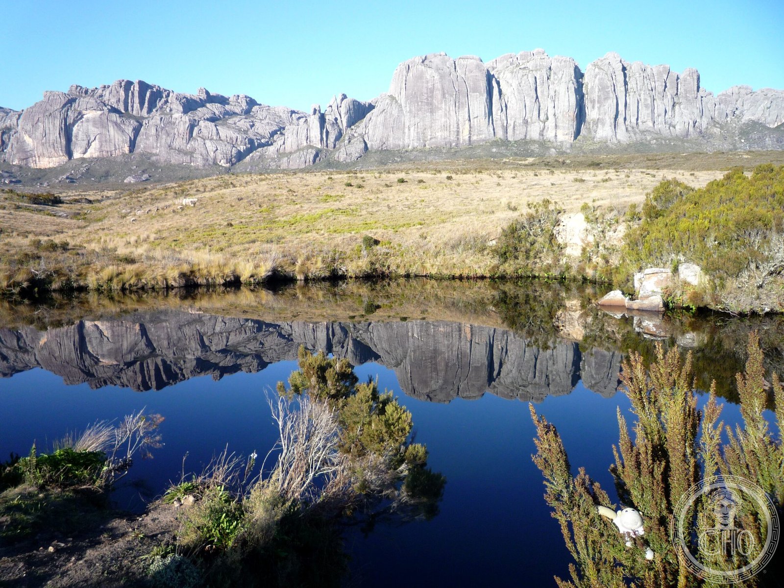
A protected reserve in the highlands of Madagascar, Andringitra encompasses pristine rainforest, alpine terrain, and four river systems on 31,160 hectares. Home to Madagascar’s second-highest mountain and one of the island’s richest concentrations of endemic wildlife, the park was recognized as a UNESCO World Heritage Site in 2007.
At a glance
Andringitra National Park lies 47 kilometres south of the town of Ambalavao in Madagascar’s central highlands. The reserve protects a mosaic of montane and lowland rainforest ecosystems, drawing visitors seeking both biodiversity and mountaineering. The park’s varied terrain ranges from river valleys to high peaks.
History
The park was formally established in 1999 and has been managed by the Madagascar National Parks Association since its founding. In 2007, Andringitra was inscribed on the UNESCO World Heritage List as part of the Rainforests of the Atsinanana—a serial site recognizing Madagascar’s most important remaining rainforest areas. The designation acknowledged the park’s irreplaceable role in protecting the island’s natural heritage.
What you see
Andringitra’s landscape defines its character: four river systems flow through the reserve, creating deep valleys and cascades. Madagascar’s second-highest mountain dominates the skyline, offering demanding trekking routes. Dense rainforest canopy alternates with alpine grassland at higher elevations, creating distinct ecological zones within the park.
Cultural significance
Three ethnic groups—the Bara, Bara Haronga, and Betsileo peoples—inhabit the region surrounding the park, maintaining traditional relationships with the landscape. Andringitra represents one of Madagascar’s last intact wilderness areas, crucial for protecting species found nowhere else on Earth and maintaining regional water and climate systems.
Key facts
- Country: Madagascar
- Region: Haute Matsiatra
- Area: 31,160 hectares (77,000 acres)
- Established: 1999
- UNESCO World Heritage Site: 2007 (Rainforests of the Atsinanana)
- Coordinates: -22.11, 46.92
- Contains: 13 lemur species; diverse plants, birds, and frogs; Madagascar’s second-highest mountain; four rivers
Practical information & getting there
The park is accessible from the town of Ambalavao, 47 kilometres to the north. Trekking and hiking form the primary activities; routes vary in difficulty and duration. Access and facilities are managed by the Madagascar National Parks Association. Check locally for current conditions, permits, and guided-walk availability before visiting.
Sources & resources
Find it on the map
See this place and what’s around it →📷 Become a Cultural Heritage Online photographer
Share your photos of places: they stay published under your name as the author. The more they're seen, the more you get noticed — and soon a contest will reward the most appreciated photos.
Log in or sign up free to add a photo