
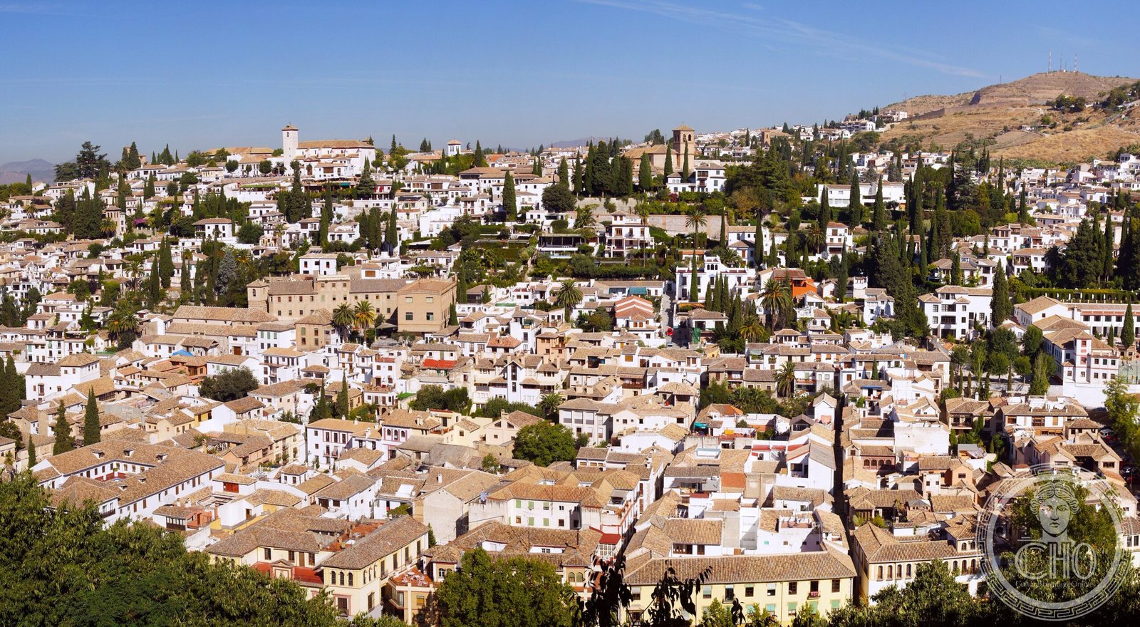
Granada’s medieval quarter preserves the intricate street plan of the Nasrid era, a living record of Islamic Spain laid out across a hillside above the Darro River.
At a glance
The Albaicín is a neighbourhood centred on a hill north of the Darro River, celebrated for its historic monuments and the survival of its medieval street layout. The district’s character reflects nearly seven centuries of urban development, from the Nasrid period through the present day.
History
The neighbourhood’s street plan dates to the Nasrid period (13th to 15th centuries), when Granada was a major centre of Islamic culture. The end of the Reconquista in 1492 marked a decisive turning point. Although Christian conquest brought political and religious transformation, the Albaicín underwent significant physical and demographic changes rather than wholesale erasure—a palimpsest of successive occupations and adaptations visible in its fabric today.
What you see
Medieval street patterns wind through the quarter in a configuration that survives largely intact from the Nasrid era. Narrow lanes, interconnected plazas, and the layered topography of the hillside create a spatial experience rooted in Islamic urban design principles, though later structures and interventions punctuate the historic fabric.
Cultural significance
The Albaicín stands as Spain’s most coherent surviving example of an Islamic medieval town. UNESCO recognised this importance in 1994, designating it a World Heritage Site as an extension of the nearby Alhambra. Together, these sites embody Granada’s cultural crossroads—a place where Islamic, Christian, and European traditions intersected and shaped one another.
Key facts
- Country: Spain
- City: Granada
- Coordinates: 37.1817°N, 3.5983°W
- UNESCO World Heritage Site (inscribed 1994)
- Medieval street plan: Nasrid period (13th–15th centuries)
Practical information & getting there
The Albaicín is easily reached on foot from Granada’s city centre. The neighbourhood’s steep topography and narrow streets reward slow exploration; comfortable walking shoes are essential. The area is best experienced by wandering, though designated heritage routes guide visitors through key sites and viewpoints overlooking the Alhambra.
Sources & resources
Find it on the map
See this place and what’s around it →📷 Become a Cultural Heritage Online photographer
Share your photos of places: they stay published under your name as the author. The more they're seen, the more you get noticed — and soon a contest will reward the most appreciated photos.
Log in or sign up free to add a photoIs this page about you?
This page is read by travellers and heritage enthusiasts who find it on Google. Tell us how you are connected to this place and we will take it from there.