
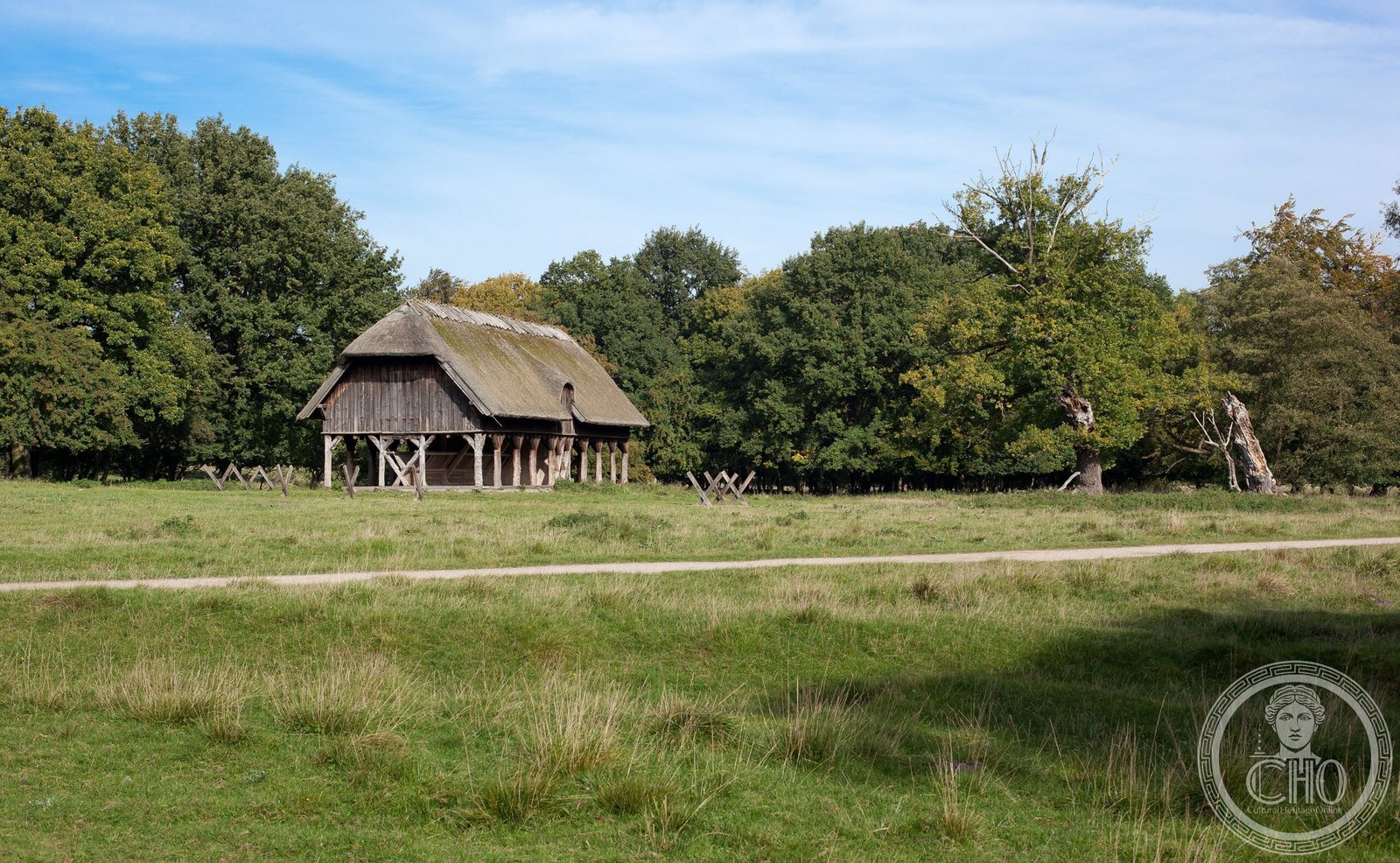
A meticulously planned landscape of royal hunting grounds north of Copenhagen, where baroque geometry and medieval tradition converged in Denmark’s most significant aristocratic estates.
At a glance
The Par force hunting landscape comprises three interconnected areas—Store Dyrehave, Gribskov, and Jægersborg Dyrehave/Jægersborg Hegn—spanning forests and hunting grounds that once served Denmark’s medieval nobility. UNESCO recognized this complex as a masterpiece of 17th- and 18th-century landscape design, inscribing it in 2015.
History
These hunting grounds evolved as the primary aristocratic estates in medieval Denmark, later transformed through baroque planning principles. The landscape’s distinctive design emerged during the 17th and 18th centuries, when numbered roads, stone posts, and fences organized vast territories according to a central-star grid system. This rational geometry reflected Enlightenment ideals applied to the pursuit of hunting—itself a cornerstone of noble identity and power.
What you see
The landscape’s defining feature is its geometric organization: radiating roads converge at focal points, marked by stone posts and formal boundaries. This central-star grid divides forests into hunting sectors, combining practical function with visual spectacle. The three main areas remain forested, preserving the scale and character that made par force hunts—elaborate, mounted hunts—logistically possible across such vast estates.
Cultural significance
Par force hunting landscapes represent a unique fusion of medieval aristocratic tradition and baroque planning theory. Denmark’s example is the most comprehensive surviving instance of this type, demonstrating how European nobility organized power and leisure through landscape. The design influenced the aesthetics of royal estates across Northern Europe and embodies the transition from feudal to absolute monarchy.
Key facts
- Country: Denmark
- Location: North Zealand, north of Copenhagen
- Coordinates: 55.9136°N, 12.3578°E
- UNESCO World Heritage Site: inscribed 4 July 2015
- Three main areas: Store Dyrehave, Gribskov, Jægersborg Dyrehave/Jægersborg Hegn
Practical information & getting there
The landscape lies within reach of Copenhagen’s public transport. These are active hunting grounds and forests; access varies by season and area. Check with local authorities regarding visiting hours and hunting seasons before planning your visit. The forests remain open for walking and cycling in designated areas.
Sources & resources
Find it on the map
See this place and what’s around it →📷 Become a Cultural Heritage Online photographer
Share your photos of places: they stay published under your name as the author. The more they're seen, the more you get noticed — and soon a contest will reward the most appreciated photos.
Log in or sign up free to add a photo