
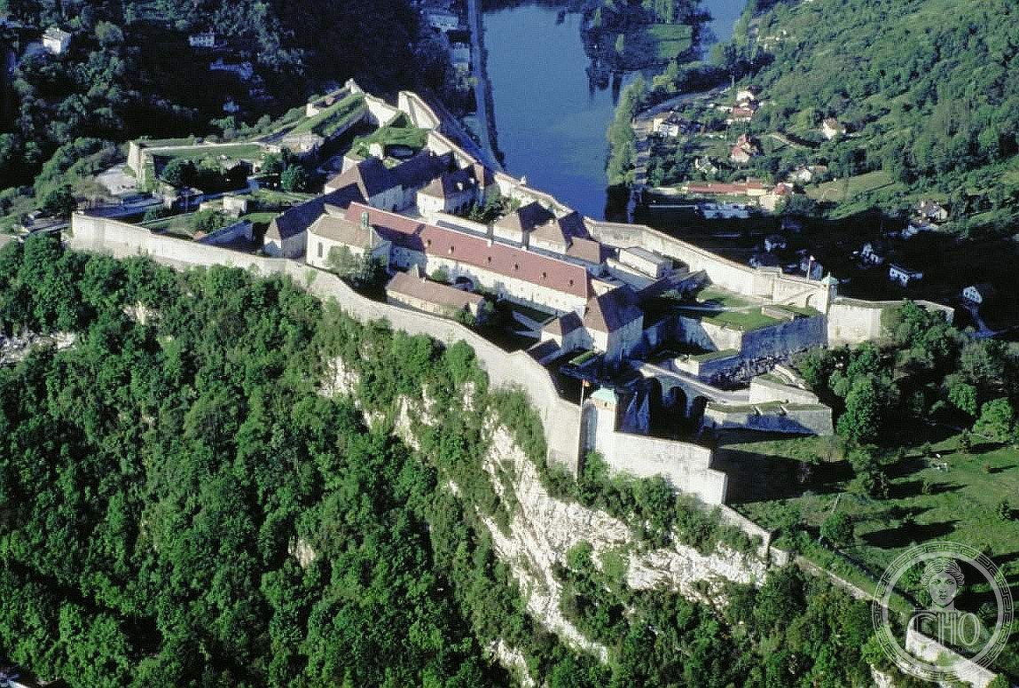
A network of twelve fortified sites across France designed by the era’s greatest military architect, Sébastien Le Prestre de Vauban, whose strategic innovations shaped military engineering for centuries.
At a glance
Vauban’s fortifications represent a turning point in how nations defended their borders. Commissioned during the reign of King Louis XIV, these twelve sites demonstrate the architect’s mastery of geometry, terrain, and artillery placement—principles that influenced global military design well into the twentieth century.
History
Sébastien Le Prestre de Vauban (1633–1707) was the preeminent military engineer of his age. Between his early career and his death, he designed and oversaw construction of this interconnected network of fortifications along France’s borders.
The UNESCO World Heritage designation came much later. In 2005, the city of Besançon initiated the Network of Major Sites of Vauban, an association uniting the twelve most significant examples. The French Ministry of Culture selected the application in January 2007. On 7 July 2008, UNESCO inscribed twelve of the network’s sites on the World Heritage List during its annual meeting in Quebec City.
What you see
The twelve sites encompass remarkable diversity: citadels commanding strategic positions, mountain batteries built into steep terrain, sea fortifications guarding coastal approaches, bastion walls of geometric precision, and towers designed for communication and observation. Several sites include entire cities constructed from scratch according to Vauban’s vision, merging military necessity with urban planning.
Cultural significance
Vauban’s fortifications transcended their immediate military purpose. His designs introduced mathematical rigor and rational planning to military architecture, principles that spread across Europe and beyond. The sites bear witness to how one man’s innovations reshaped both defensive strategy and the relationship between fortification and civilian life across three centuries.
Key facts
- Country: France
- Coordinates: 47.23611111, 6.02694444
- UNESCO World Heritage Site: Yes (inscribed 2008)
- Comprises: Twelve fortified sites across French territory
- Architect: Sébastien Le Prestre de Vauban (1633–1707)
- Period: 17th–18th century
Practical information & getting there
The twelve sites are distributed across France. Plan visits around the individual locations, which include major cities and border regions. Each site has its own access arrangements; consult local tourism offices for visiting hours and current conditions. The UNESCO designation information and detailed site guides are available through France’s cultural heritage resources.
Sources & resources
Find it on the map
See this place and what’s around it →📷 Become a Cultural Heritage Online photographer
Share your photos of places: they stay published under your name as the author. The more they're seen, the more you get noticed — and soon a contest will reward the most appreciated photos.
Log in or sign up free to add a photoIs this page about you?
This page is read by travellers and heritage enthusiasts who find it on Google. Tell us how you are connected to this place and we will take it from there.