
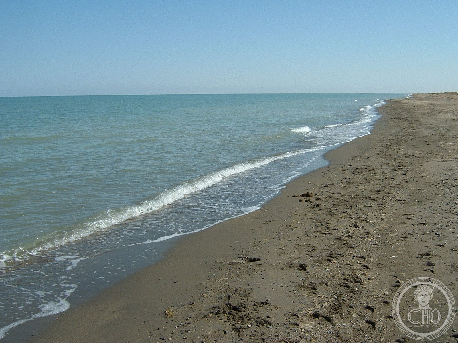
Uvs Lake
Mongolia’s largest lake by surface area, Uvs is a shallow, highly saline body of water that remains from an ancient inland sea. Straddling the Mongolian-Russian border, this endorheic basin offers a window into Central Asia’s geological past.
At a glance
Uvs Lake covers 3,350 square kilometers at 759 meters above sea level. Its extreme salinity and shallowness distinguish it from freshwater lakes, making it an unusual ecological zone. The nearest significant settlement, Ulaangom, lies to the northwest.
History
The lake occupies the basin of what was once a vast saline sea that extended across a much larger territory several thousand years ago. This inland body of water gradually receded and transformed into the concentrated, mineral-rich lake visible today, leaving behind sediment layers that record ancient climatic shifts.
What you see
Uvs presents a stark landscape of shallow waters ringed by steppe. The lake’s high salinity produces distinctive mineral deposits and supports specialized aquatic life adapted to extreme conditions. Its exposed shoreline reveals geological strata marking past water levels.
Cultural significance
As Mongolia’s largest lake by area, Uvs holds ecological importance for the region’s fauna and flora. The basin’s geological record illuminates how Central Asian hydrology and climate have evolved over millennia. The lake remains relatively remote, offering researchers insight into preserving such unique ecosystems.
Key facts
- Surface area: 3,350 km²
- Elevation: 759 m above sea level
- Location: Northwestern Mongolia, with northeastern tip in Russia’s Tuva Republic
- Coordinates: 50.3°N, 92.7°E
- Type: Highly saline, endorheic lake
Practical information & getting there
Uvs Lake lies in a remote region of northwestern Mongolia. The nearest town of consequence is Ulaangom. Access typically requires overland travel from central Mongolia, with roads varying seasonally. The area remains largely undeveloped for tourism.
Sources & resources
Find it on the map
See this place and what’s around it →📷 Diventa un fotografo di Cultural Heritage Online
Condividi le tue foto dei luoghi: restano pubblicate con la tua firma come autore. Più vengono viste, più ti fai conoscere — e presto un concorso premierà le foto più apprezzate.
Accedi o registrati gratis per aggiungere una foto