
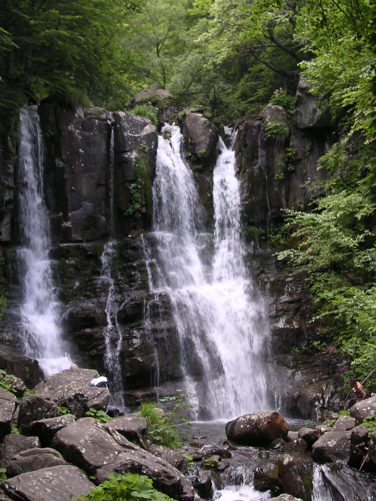
A mountain stream falls seven times in barely a kilometre, the first drop alone thirty metres, on its way down from the Corno alle Scale to the Panaro river system.
At a glance
The Dardagna is a short mountain stream that rises near Monte Spigolino, on the slopes of the Corno alle Scale (1,945 m), the highest peak of the Bologna Apennines. In its upper course it drops through a sequence of seven waterfalls, the highest around thirty metres, losing more than 250 metres of altitude in a little over a kilometre. The falls sit inside the Parco Regionale del Corno alle Scale and are reached on foot from Madonna dell’Acero, a hamlet of Lizzano in Belvedere.
Key facts
- Stream — the Dardagna, roughly 15 km long before it joins the Torrente Leo, itself a tributary of the Panaro.
- Falls — seven successive drops, the first and highest about 30 m, total fall over 250 m.
- Source — near Monte Spigolino, on the Corno alle Scale (1,945 m).
- Protected area — Parco Regionale del Corno alle Scale.
- Trailhead — Madonna dell’Acero (1,190 m), hamlet of Lizzano in Belvedere, province of Bologna.
History
The valley’s one documented episode of engineering dates to the late thirteenth century, when Bologna needed timber from these mountains and the Dardagna itself was too broken by its own waterfalls to float logs down. The city built an artificial channel, the Naviglio del Belvedere, to divert part of the Dardagna’s water into the neighbouring Torrente Silla, which offered a clearer run down to the Reno and on to Bologna. The canal is the only reason the valley appears in written history before the twentieth century: everything else about it is geology and forest.
What you see
The falls are not one drop but a staircase of seven, cut into a narrow rock gorge shaded by beech woods. The first, at the top, is the tallest at around thirty metres; the others step down in quicker succession, each with its own plunge pool. Because the whole sequence loses more than 250 metres of height in such a short distance, the trail alongside it climbs steadily rather than following the water on the level, with viewpoints cut into the rock at several of the falls.
The approach itself is part of the experience: Madonna dell’Acero is a beech-forest hamlet at 1,190 m, and the path to the falls climbs from there through mixed Apennine woodland before the gorge narrows and the sound of the water takes over.
Practical information
- Access — on foot only, from the car park at Madonna dell’Acero; the path to the falls is unpaved and climbs, so walking shoes are needed.
- Season — the falls carry the most water in spring, from snowmelt, and after autumn rain; they can run low in a dry summer.
- Time needed — allow one to two hours for the round trip to the main falls, more if continuing up toward the Corno alle Scale ridge.
Getting there
Madonna dell’Acero is reached by road from Lizzano in Belvedere, on the provincial road that climbs toward the Corno alle Scale from the Bologna–Pistoia direction; the nearest larger town is Porretta Terme, on the Bologna–Pistoia railway, from where a local bus service runs up the valley in season.
Sources & resources
- Cascate del Dardagna — Wikipedia (IT), for the number and height of the falls, the source near Monte Spigolino, the trailhead at Madonna dell’Acero and the Naviglio del Belvedere.
- Parco Regionale del Corno alle Scale — Wikipedia (IT), for the protected area.
- OpenStreetMap / Nominatim, for the coordinates of Madonna dell’Acero and of the falls.
Record researched and written by Paolo Burrini for Cultural Heritage Online, 2026.
Historical events at this place (1)
📷 Become a Cultural Heritage Online photographer
Share your photos of places: they stay published under your name as the author. The more they're seen, the more you get noticed — and soon a contest will reward the most appreciated photos.
Log in or sign up free to add a photo