

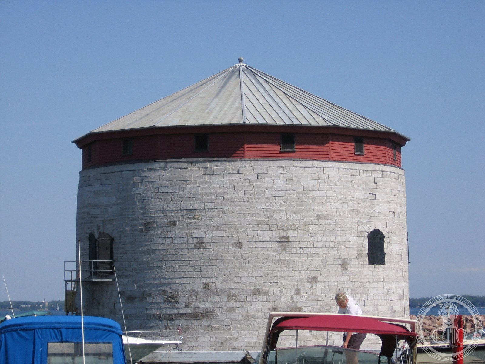
A limestone Martello tower built to defend Kingston Harbour against the threat of American invasion during the Oregon crisis. Originally named Victoria Tower, it stands in Confederation Basin directly opposite City Hall.
At a glance
Shoal Tower is one of four remaining Martello towers in Kingston and one of only 11 still standing across Canada. Built in 1847, this 11-metre-high defensive structure was part of a strategic network of fortifications protecting the city’s harbour and the entrance to the Rideau Canal.
History
The tower was constructed during a period of international tension known as the Oregon crisis, when disputes over the Canada-US border threatened military conflict. Kingston’s harbour required protection against possible American invasion, prompting the construction of four coordinated Martello towers between the 1840s: Shoal Tower, Cathcart Tower on Cedar Island, Fort Frederick at the Royal Military College of Canada, and Murney Tower.
Although 16 Martello towers were built across Canada, many did not survive. Shoal Tower was eventually abandoned but designated a National Historic Site of Canada in 1930, becoming part of the Kingston Fortifications National Historic Site.
What you see
The tower is constructed of limestone, measuring 11 metres in height with a diameter of 16.5 metres. Its compact, cylindrical form is typical of Martello tower design, engineered to withstand artillery fire. Guns positioned on the tower’s upper levels commanded the approaches to Kingston Harbour.
Cultural significance
Shoal Tower represents a critical moment in Canadian military history when the young nation faced the prospect of American invasion. The tower stands as evidence of Kingston’s strategic importance as both a naval base and gateway to the interior—a role that shaped the city’s development and remains visible in its historic fortifications today.
Key facts
- Country: Canada
- City: Kingston, Ontario
- Built: 1847
- Original name: Victoria Tower
- Height: 11 metres; Diameter: 16.5 metres
- Construction material: Limestone
- Designated National Historic Site: 1930
- Coordinates: 44.22875, -76.4782
Practical information & getting there
Shoal Tower is located in Confederation Basin in Kingston’s harbour, directly opposite Kingston City Hall. It is accessible to the public as part of the Kingston Fortifications National Historic Site. Check local tourism resources for current visiting hours and any seasonal closures.
Sources & resources
Find it on the map
See this place and what’s around it →📷 Become a Cultural Heritage Online photographer
Share your photos of places: they stay published under your name as the author. The more they're seen, the more you get noticed — and soon a contest will reward the most appreciated photos.
Log in or sign up free to add a photoIs this page about you?
This page is read by travellers and heritage enthusiasts who find it on Google. Tell us how you are connected to this place and we will take it from there.