

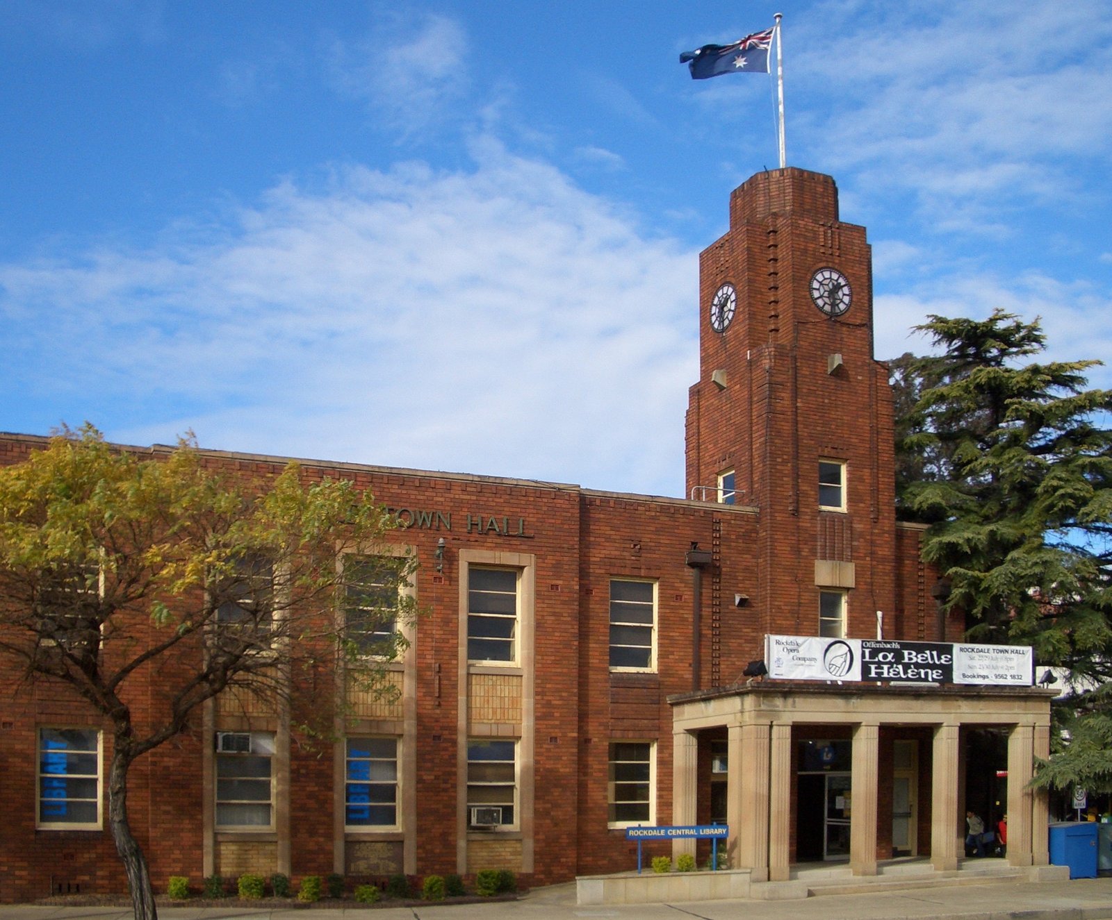
A civic landmark anchoring the corner of Princes Highway and Bryant Street in Sydney’s Rockdale suburb, this town hall serves as a focal point of local governance and community life.
At a glance
Rockdale Town Hall stands at a prominent intersection in suburban Sydney. The building functions as a civic center for the surrounding municipality, representing institutional architecture in an urban residential setting.
What you see
The town hall occupies a strategic corner position, defining the streetscape at Princes Highway and Bryant Street. Its architectural character reflects the civic dignity expected of municipal buildings in suburban Australia.
Cultural significance
As a town hall, the building embodies the importance of local governance infrastructure in Australian suburban development. It serves as a gathering point and symbol of community identity in the Rockdale area.
Key facts
- Location: Rockdale, New South Wales, Australia
- Coordinates: -33.95329, 151.13996
- Position: Corner of Princes Highway and Bryant Street
Practical information & getting there
The town hall is accessible via the Princes Highway in Rockdale, a suburb of Sydney. Its prominent corner location makes it easily identifiable in the local streetscape.
Sources & resources
Find it on the map
See this place and what’s around it →📷 Become a Cultural Heritage Online photographer
Share your photos of places: they stay published under your name as the author. The more they're seen, the more you get noticed — and soon a contest will reward the most appreciated photos.
Log in or sign up free to add a photoIs this page about you?
This page is read by travellers and heritage enthusiasts who find it on Google. Tell us how you are connected to this place and we will take it from there.