
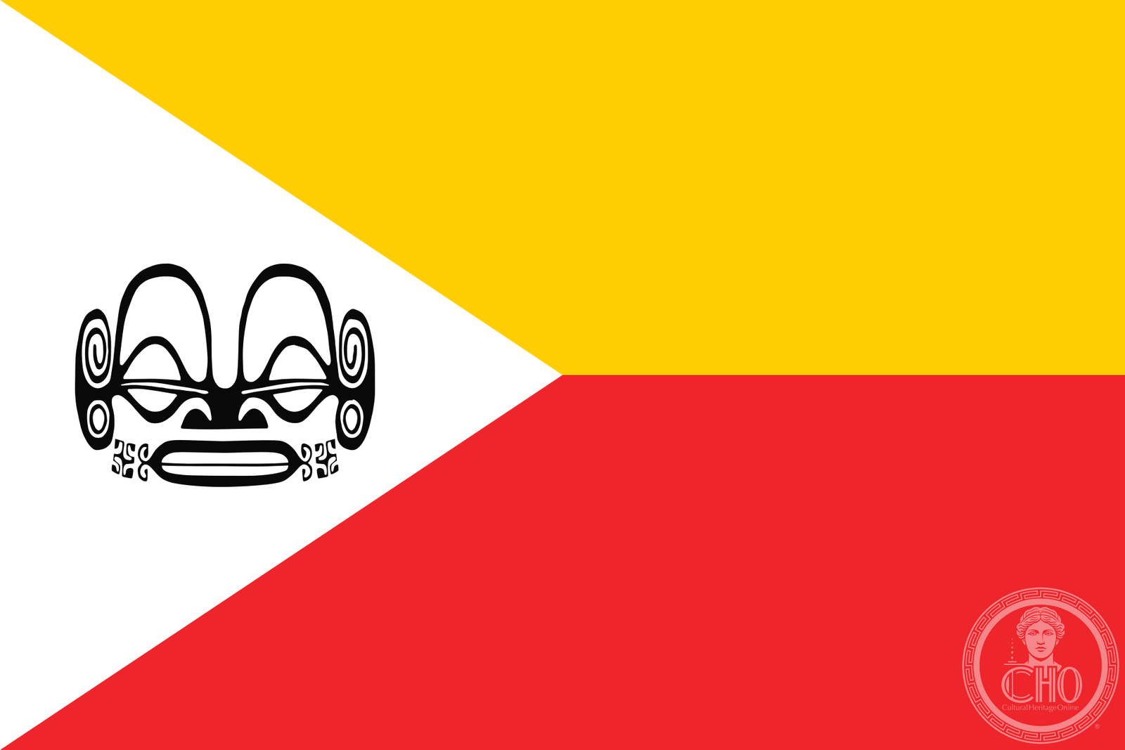
A remote volcanic archipelago in the South Pacific, the Marquesas preserve one of Polynesia’s most distinctive and unified cultures, shaped by nearly a thousand years of isolation.
At a glance
The Marquesas Islands form a dramatic cluster of volcanic peaks rising abruptly from the Pacific. Mount Oave on Ua Pou reaches 1,230 metres, the archipelago’s highest point. This UNESCO World Heritage site is an administrative subdivision of French Polynesia, with its capital at Taioha’e on Nuku Hiva island.
History
Archaeological evidence indicates settlement in the 10th century AD by voyagers from West Polynesia. Over the following centuries, the islands developed what scholars describe as a “remarkably uniform culture, biology and language”—a testament to their geographic isolation.
European contact came in 1595 when Spanish navigator Álvaro de Mendaña arrived and named the archipelago after the Marquis of Cañete, the 16th-century Spanish Viceroy of Peru. The islands would eventually become part of French Polynesia.
What you see
The Marquesas are defined by volcanic geology and dramatic topography. Steep cliffs and verdant valleys characterize the landscape, with Mount Oave’s commanding height visible across much of the region. The islands’ physical isolation has shaped both their ecology and human settlement patterns.
Cultural significance
The Marquesas represent a living laboratory of Polynesian cultural continuity. The indigenous Marquesan language—called Te Henua ʻEnana in the north and Te Fenua ʻEnata in the south, both meaning “the land of men”—reflects the islands’ enduring identity. This cultural coherence across multiple islands over a millennium is rare in the Pacific.
Key facts
- Country: France (overseas collectivity)
- Location: French Polynesia, South Pacific Ocean
- Coordinates: 8.9°S, 139.6°W
- Highest point: Mount Oave, 1,230 m (4,035 ft)
- Capital: Taioha’e, Nuku Hiva island
- Population: 9,346 (August 2017 census)
- UNESCO World Heritage site
Practical information & getting there
The Marquesas Islands are accessible by air or sea from other French Polynesian islands. Air Tahiti operates regional flights. Limited accommodation and services reflect the archipelago’s remote location. Plan ahead and check current accessibility before travel.
Sources & resources
Find it on the map
See this place and what’s around it →📷 Become a Cultural Heritage Online photographer
Share your photos of places: they stay published under your name as the author. The more they're seen, the more you get noticed — and soon a contest will reward the most appreciated photos.
Log in or sign up free to add a photo